Dingle Bay - Bá an Daingin
- Saltwater
- Bay
Dingle Bay - Bá an Daingin
- Saltwater
- Bay
- Sq. miles
- 168
- Boat Ramps
- 0
- Access Points
- 1
- Campsites
- 0
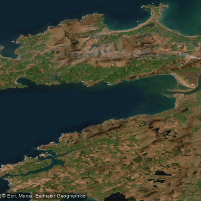
Dingle Bay is a large coastal bay on the southwest coast of Ireland, running approximately 40 kilometers from northeast to southwest into the Atlantic Ocean. It is flanked by the Dingle Peninsula to the north and the Iveragh Peninsula to the south, creating a wide, open expanse of water that is approximately 3 kilometers wide at its head and 20 kilometers at its entrance to the ocean. The bay's geography includes a protected lowland estuary with tidal flats near its head, where the River Maine and River Laune enter. The harbour town of Dingle, a primary access point, lies on the north side of the bay, with other settlements like Ventry, Annascaul, and Glenbeigh also overlooking the water. A notable geographical feature is Inch Strand, a peninsula extending a significant distance across the width of the bay towards its head. The bay is exposed to the full fetch of the Atlantic Ocean, making wind and wave conditions a primary safety consideration. Tidal currents are a significant factor for paddlers, especially in the narrower sections and near the estuary. The bay's outer parts mark one of the westernmost points of mainland Ireland, contributing to its dramatic, open character with views of mountainous peninsulas. On the south side, the Iveragh Peninsula features cliffs topped with grassland and heathland, and there is a bird sanctuary that is an important breeding site for species like the red-billed chough. The area is historically significant as the first feature of Europe encountered by aviator Charles Lindbergh during his 1927 transatlantic flight.
Water access, boat ramps & amenities
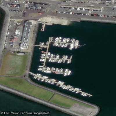
Learn how to get on Dingle Bay - Bá an Daingin. Uncover great paddling access points, boat ramps, and all the facilities you need for an unforgettable day on the water. Some locations shown may border or include private property. Always check property boundaries and applicable regulations before visiting. PaddleWays's Public & Private Land layer can help you plan your access with confidence.
Paddle smarter with real-time insights
Whether you're en route and conditions shift or you're looking for the best spot based on current flows, we enable you to make informed decisions on the fly.







Co. Kerry licenses and regulations
No licenses or regulations available for Co. Kerry.
Find Places to Paddle

Over 400,000 Places to Paddle
Every user gets free access to launch points, boat ramps, and public property parcels.


Tides, wind & water conditions (10 day forecast)
On open water, wind and tide matter as much as the weather. See the best times to paddle Dingle Bay - Bá an Daingin and check the marine forecast before you launch.
Loading tide predictions…
Paddling near Dingle Bay - Bá an Daingin
Caragh
Lough Leane
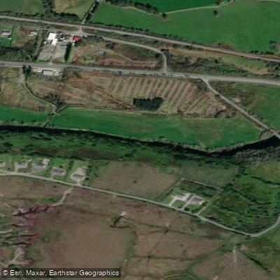
Flesk [Kerry]
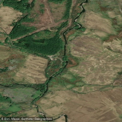
Behy [Kerry]
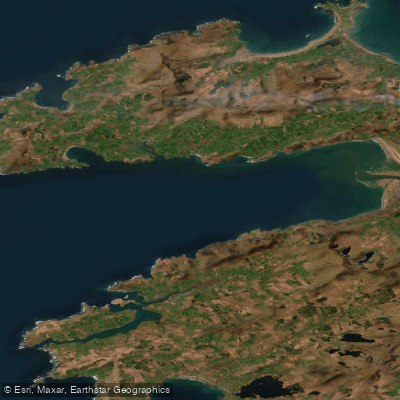
Outer Dingle Bay
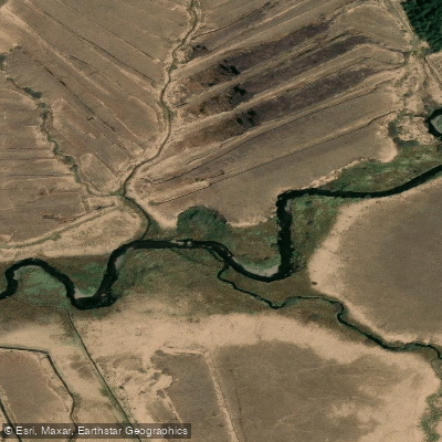
Cummeragh
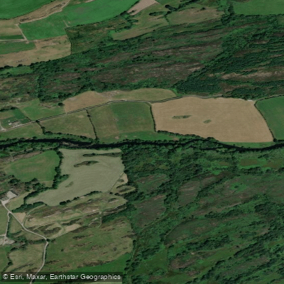
Lee [Cork]
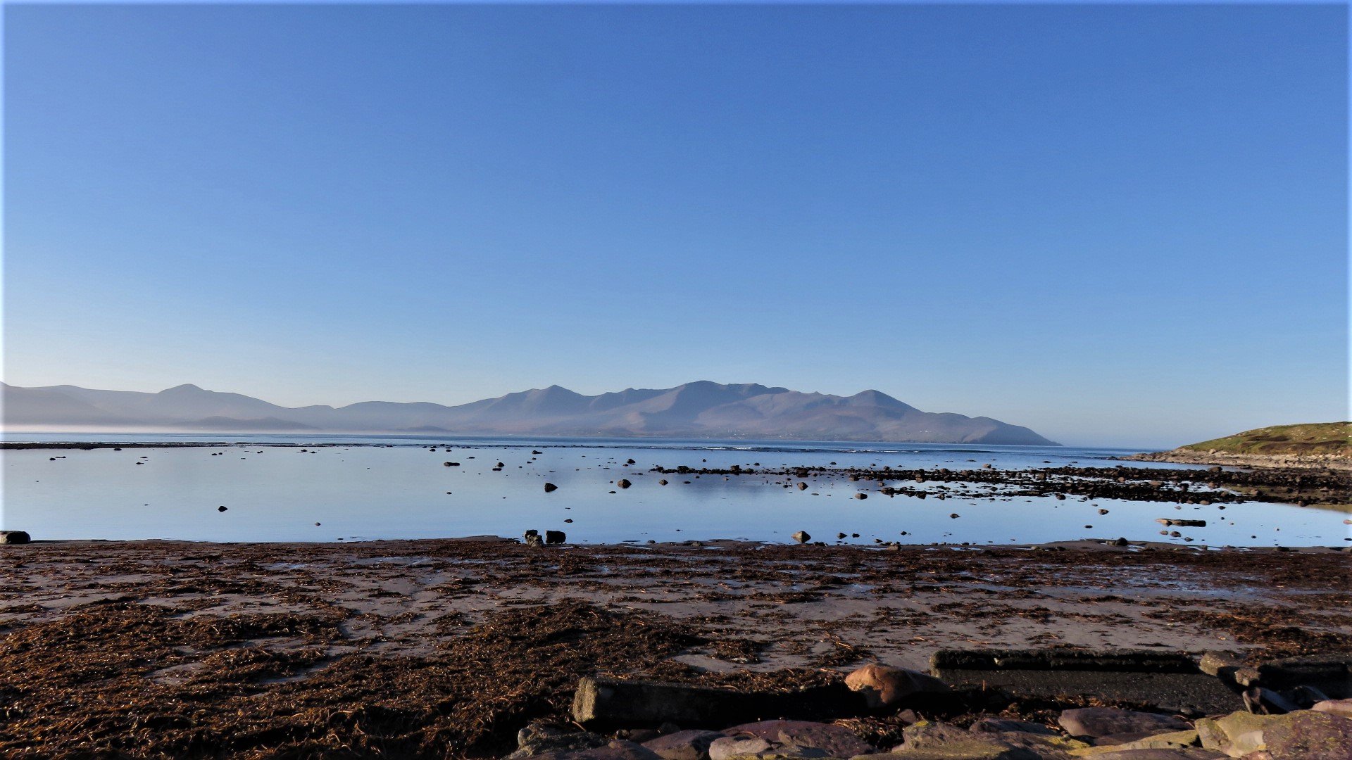
Brandon Bay
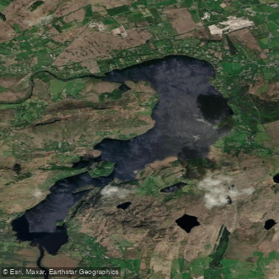
Caragh ( Lough )
Explore Kerry waters
Top paddling waters
No waters available right now.
Popular Cities
Loading popular cities...
Explore near Dingle Bay - Bá an Daingin
Access points
Nearby waters
More in Co. Kerry

Smarter Paddling Starts in the App.
Paddleways gives you everything you need to plan smarter, paddle better, and own every trip from first launch to takeout.