Lough Gill
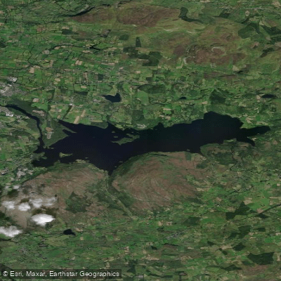
Lough Gill
- Boat Ramps
- 0
- Access Points
- 0
- Campsites
- 0
Lough Gill is a freshwater lake in County Sligo, approximately 8 kilometres long and 2 kilometres wide, draining westward into the River Garavogue near Sligo town. The lake holds around 20 small islands, the most famous being the Lake Isle of Innisfree, immortalised by poet W.B. Yeats. Church Island, the largest at roughly 40 acres, contains medieval ruins erected under the patronage of the O'Rourke rulers of Breifne and was historically a centre for religious and poetic communities. Parke's Castle, a restored 17th-century stronghold, sits on the lake's shores and adds further historical character to the surroundings. The lake is designated a Special Area of Conservation, supporting rare and protected plant and animal species.
Several public access points exist around the lake, including Inishfree Pier on the south shore, Shriff Bay, Aughamore, Hazelwood Bay, and a pier near the outflow of the Garavogue River. Holywell Pier on the western shore is also used as a launch point. Parking is available at these locations.
Paddlers should be aware that water temperatures can be extremely cold, the lakebed is rocky underfoot in shallower areas, there are no lifeguards, and water conditions can be unpredictable. The lake hosts brown trout and salmon, and boat traffic from guided tour vessels operating out of Sligo town should be anticipated.
Guided kayak tours are available through Sligo Kayak Tours, which operates from Waterglades on the lake's western shore, adjacent to Healy Plants Garden Centre. Stand-up paddleboarding tours are also offered on the lake. The surrounding landscape includes old-growth forest along the shoreline, with Hazelwood Forest located at Half Moon Bay approximately 5 kilometres outside Sligo town offering lakeside trails. The lake is accessible from Sligo town in roughly 15 minutes via the R286, making it a practical day-trip destination.
Water access, boat ramps & amenities
Learn how to get on Lough Gill. Uncover great paddling access points, boat ramps, and all the facilities you need for an unforgettable day on the water. Some locations shown may border or include private property. Always check property boundaries and applicable regulations before visiting. PaddleWays's Public & Private Land layer can help you plan your access with confidence.
Paddle smarter with real-time insights
Whether you're en route and conditions shift or you're looking for the best spot based on current flows, we enable you to make informed decisions on the fly.







Co. Leitrim licenses and regulations
No licenses or regulations available for Co. Leitrim.
Find Places to Paddle

Over 400,000 Places to Paddle
Every user gets free access to launch points, boat ramps, and public property parcels.


Water and weather conditions (10 day forecast)
See the best times to paddle Lough Gill and check the forecast before you go.
No forecast data available.
Paddling near Lough Gill

Shannon [Upper]
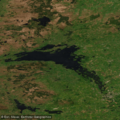
Lower Lough Erne
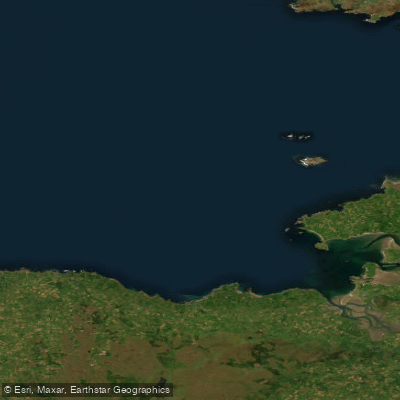
Donegal Bay Southern
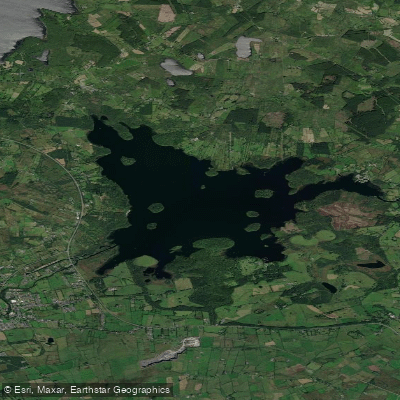
Lough Key
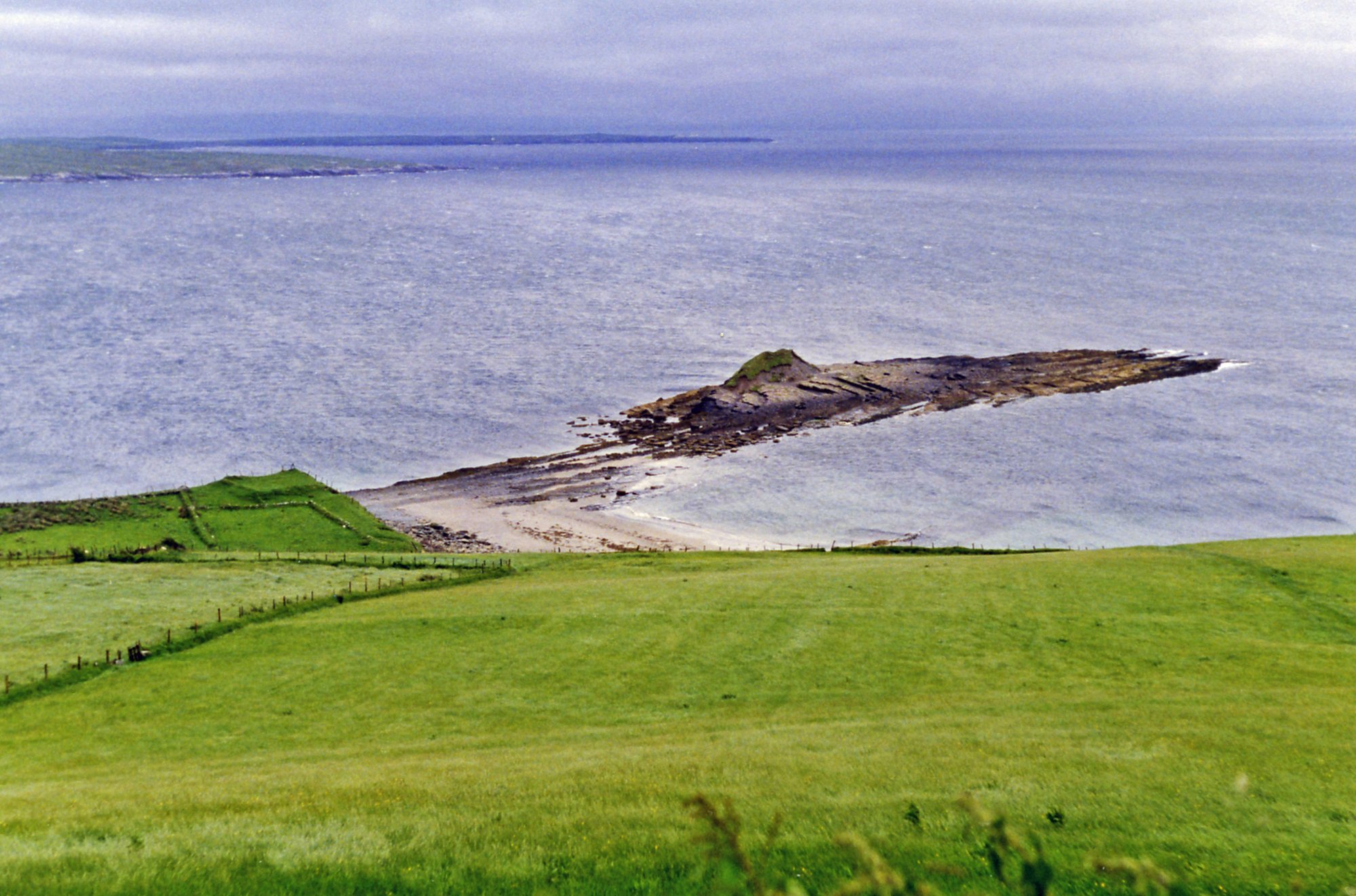
Donegal Bay
Boyle
Owenmore [Sligo]
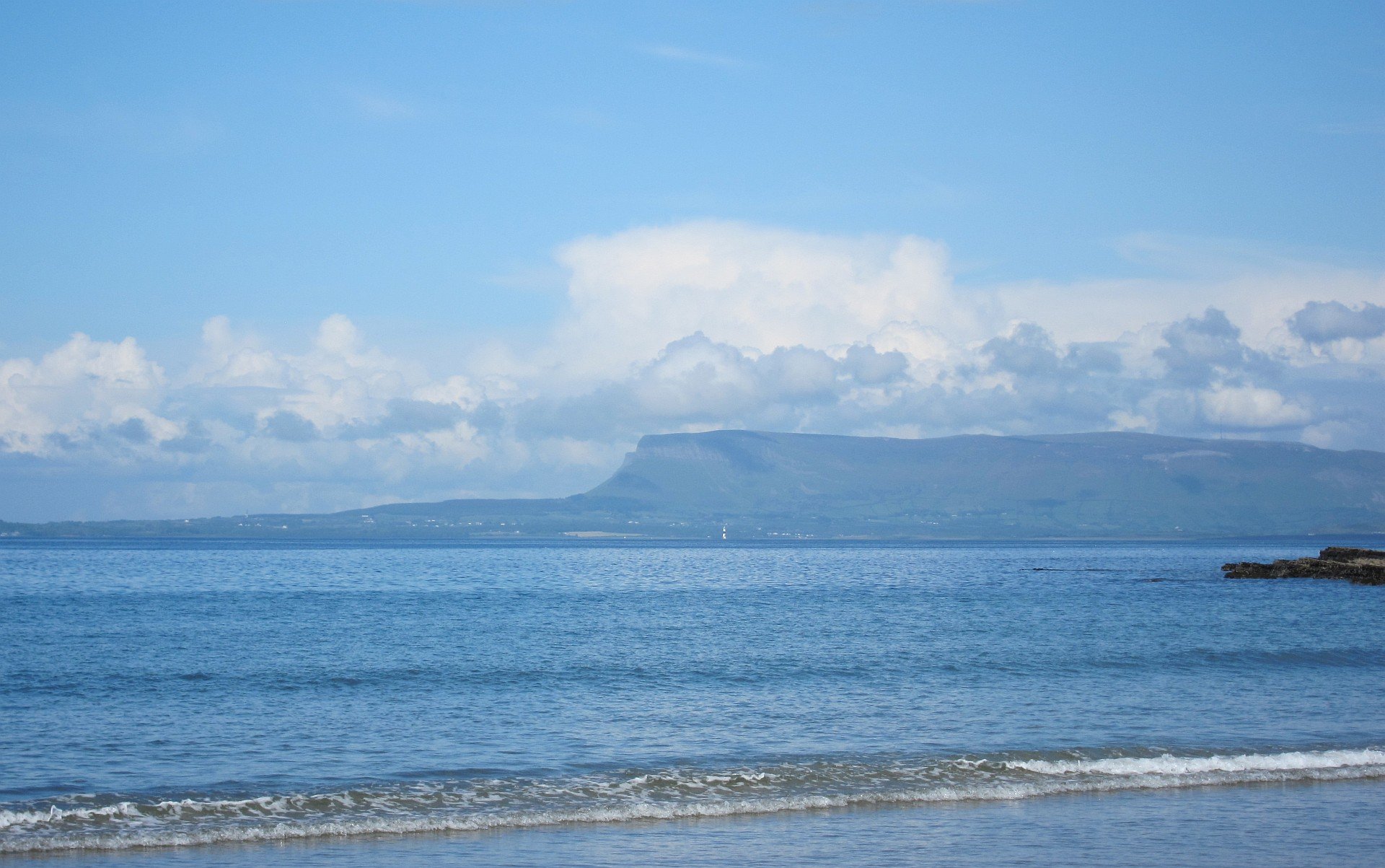
Sligo Bay
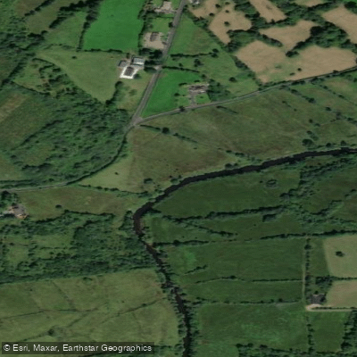
Bonet
Explore Leitrim waters
Top paddling waters
No waters available right now.
Popular Cities
Loading popular cities...
Explore near Lough Gill
Nearby waters
More in Co. Leitrim

Smarter Paddling Starts in the App.
Paddleways gives you everything you need to plan smarter, paddle better, and own every trip from first launch to takeout.