Donegal Bay
- Saltwater
- Bay
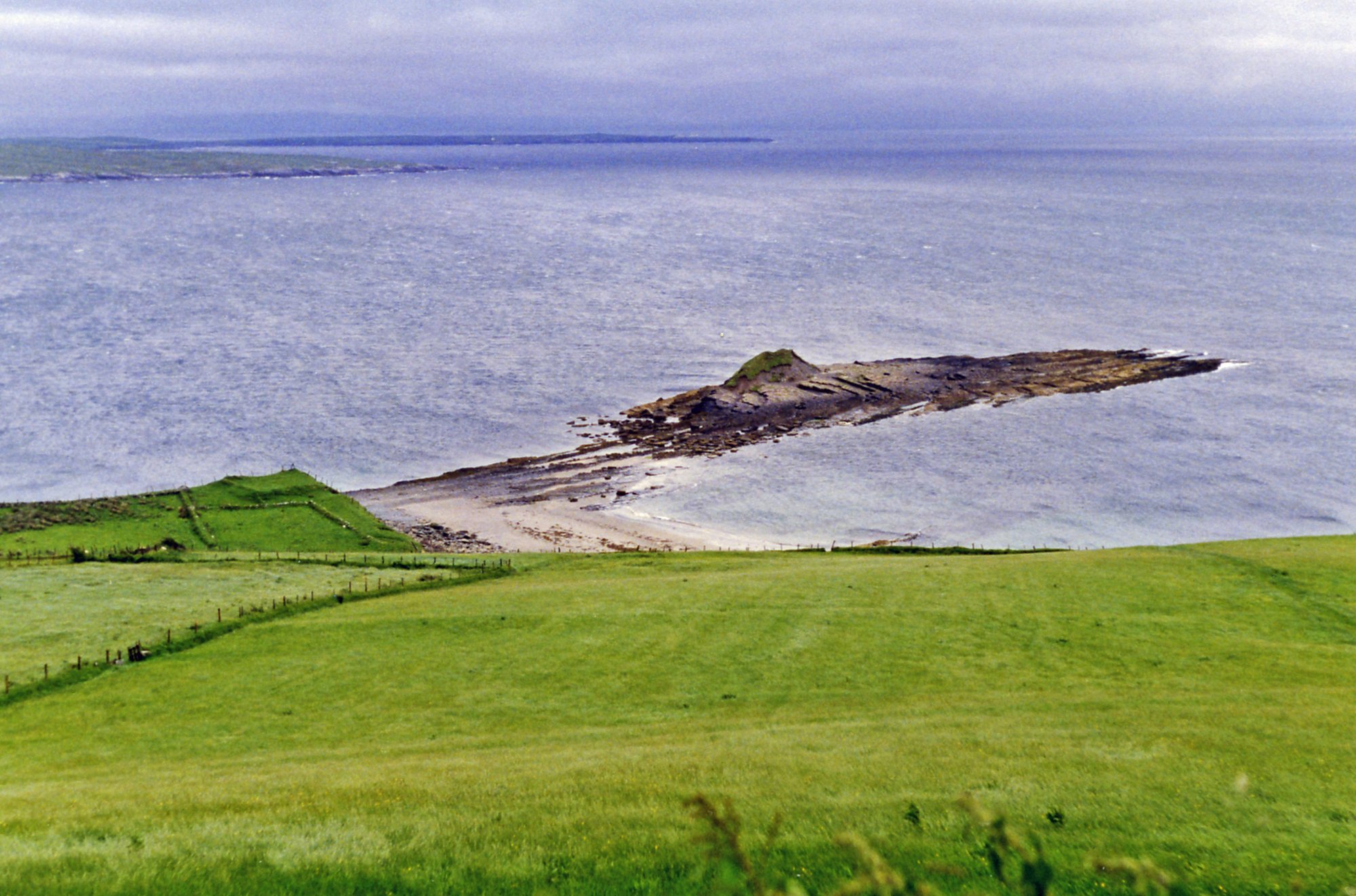
Donegal Bay
- Saltwater
- Bay
- Sq. miles
- 155
- Boat Ramps
- 0
- Access Points
- 0
- Campsites
- 0
Donegal Bay is a large, open coastal bay approximately 25 miles across, located off the northwest Irish coast between County Sligo and County Donegal. Its waters are blue-green, with depths reaching up to 300 feet. The bay is exposed to the Atlantic Ocean, leading to significant swell and wave action; a rescue incident reported a choppy 4-5ft swell even when conditions were otherwise calm. The bay's open nature means paddlers should expect significant wind exposure and fetch. Key access points for launching include Mullaghmore Harbour, which is recognized as a safe anchorage on the passage between Sligo Bay and Donegal Bay, and Creevy Pier. The area around Inishmurray Island, off the coast of Sligo, is a known paddling location, though the crossing to this island involves open water. Notable hazards include the potential for sudden changes in conditions, strong swells, and the need for crossings in open water where a capsizing incident has occurred. Rescue services in the area include the Bundoran RNLI lifeboat, Killybegs Coast Guard Unit, and the Coast Guard helicopter based at Sligo Airport.
The bay offers dramatic scenic views, including panoramic vistas stretching to the mountains of Sligo and Mayo, the distinctive outline of Benbulben, and the towering sea cliffs of Sliabh Liag. St. John’s Point Lighthouse is a prominent landmark visible from the bay. Wildlife sightings can include pods of dolphins. The late-summer water temperature is typically around 15 degrees Celsius (low 50s Fahrenheit). For safety, paddlers are strongly advised to wear appropriate gear including drysuits and lifejackets, carry reliable communication devices such as a VHF radio or EPIRB, and inform someone of their trip plans and expected return time. The overall character of paddling here is one of challenging open-coast conditions suited for experienced kayakers prepared for a wild Atlantic environment.
Water access, boat ramps & amenities
Learn how to get on Donegal Bay. Uncover great paddling access points, boat ramps, and all the facilities you need for an unforgettable day on the water. Some locations shown may border or include private property. Always check property boundaries and applicable regulations before visiting. PaddleWays's Public & Private Land layer can help you plan your access with confidence.
Paddle smarter with real-time insights
Whether you're en route and conditions shift or you're looking for the best spot based on current flows, we enable you to make informed decisions on the fly.







Co. Sligo licenses and regulations
No licenses or regulations available for Co. Sligo.
Find Places to Paddle

Over 400,000 Places to Paddle
Every user gets free access to launch points, boat ramps, and public property parcels.


Tides, wind & water conditions (10 day forecast)
On open water, wind and tide matter as much as the weather. See the best times to paddle Donegal Bay and check the marine forecast before you launch.
Loading tide predictions…
Paddling near Donegal Bay
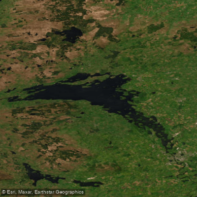
Lower Lough Erne

Shannon [Upper]
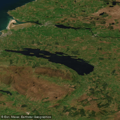
Lough Melvin
Duff
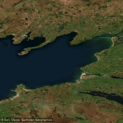
Donegal Bay (Erne)
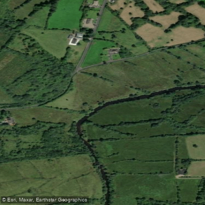
Bonet
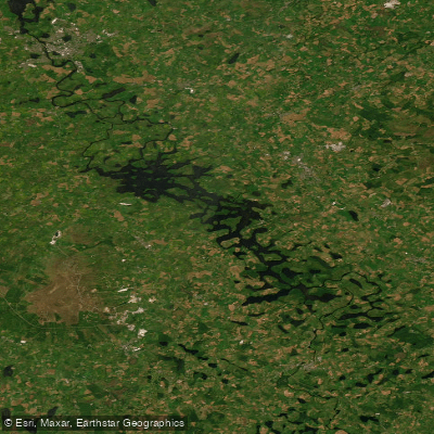
Erne (Lough) (Upper)
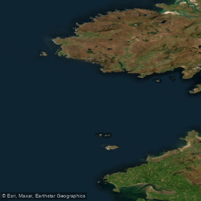
Donegal Bay Northern
Glenaniff
Explore Sligo waters
Top paddling waters
No waters available right now.
Popular Cities
Loading popular cities...
Explore near Donegal Bay

Smarter Paddling Starts in the App.
Paddleways gives you everything you need to plan smarter, paddle better, and own every trip from first launch to takeout.