Castletown Estuary
- Saltwater
- Estuary
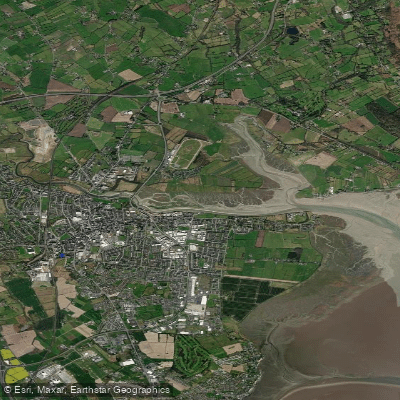
Castletown Estuary
- Saltwater
- Estuary
- Sq. miles
- 0.7
- Boat Ramps
- 0
- Access Points
- 0
- Campsites
- 0
The Castletown Estuary is a tidal, saltwater feature forming part of Dundalk Bay in County Louth. It is formed by the Castletown River, which meanders through Dundalk Harbour before reaching the sea. The estuary is characterized by extensive intertidal sand and mud flats, with "literally miles of sand are exposed at low tide" across Dundalk Bay. This creates a significant tidal range, dramatically altering the landscape between high and low water. The water body is very shallow, seldom deeper than eighteen metres at low tide even in the wider bay. For paddlers, this means careful tide planning is essential; launching or retrieving a small boat at locations like Blackrock could require waiting up to ten hours for suitable water levels, indicating a long tidal window. The best access points for the wider bay are Blackrock and Annagassan. At Annagassan, a slipway on the southern side allows for small boat launch, though high water presents the best conditions. The estuary's banks feature a loop walk along its lower reaches, indicating developed footpaths. The overall water quality status of the Castletown Estuary is currently classified as poor, with waste water discharges identified as a significant pressure. The area is an important wetland for waterbirds, including gulls, waders, and duck, making it of interest for wildlife observation. The estuary holds historical significance for local surfing, with a reference to a boy paddling a board up it in 1949. A key safety consideration is the speed of the tide, which can come in very fast across the mudflats, potentially cutting off the unwary. The area is also used by charter boats operating from Bellurgan within the estuary, indicating the presence of other vessel traffic.
Water access, boat ramps & amenities
Learn how to get on Castletown Estuary. Uncover great paddling access points, boat ramps, and all the facilities you need for an unforgettable day on the water. Some locations shown may border or include private property. Always check property boundaries and applicable regulations before visiting. PaddleWays's Public & Private Land layer can help you plan your access with confidence.
Paddle smarter with real-time insights
Whether you're en route and conditions shift or you're looking for the best spot based on current flows, we enable you to make informed decisions on the fly.







Co. Louth licenses and regulations
No licenses or regulations available for Co. Louth.
Find Places to Paddle

Over 400,000 Places to Paddle
Every user gets free access to launch points, boat ramps, and public property parcels.


Tides, wind & water conditions (10 day forecast)
On open water, wind and tide matter as much as the weather. See the best times to paddle Castletown Estuary and check the marine forecast before you launch.
Loading tide predictions…
Paddling near Castletown Estuary
Boyne
Fane
Outer Dundalk Bay

Inny [Shannon]
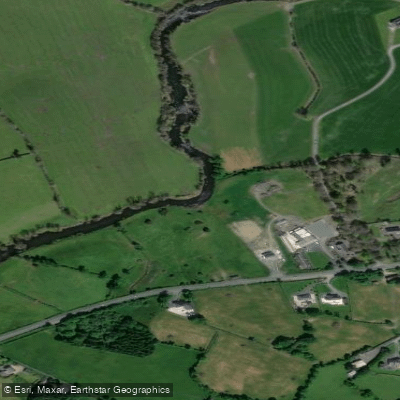
Annalee
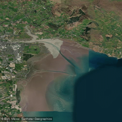
Inner Dundalk Bay
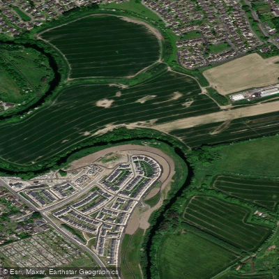
Liffey
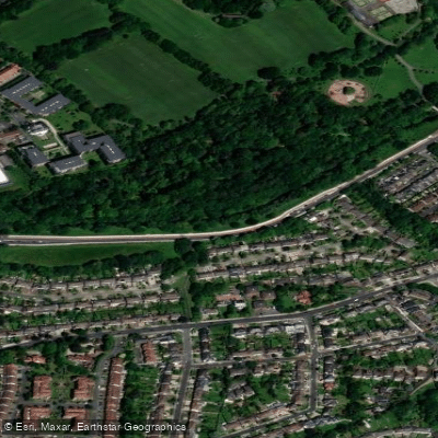
Dodder
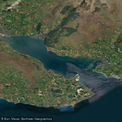
Carlingford Lough
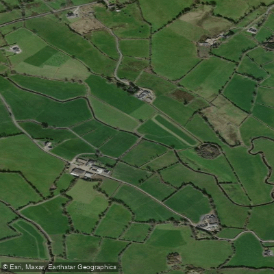
Erne
Explore Louth waters
Top paddling waters
No waters available right now.
Popular Cities
Loading popular cities...
Explore near Castletown Estuary
More in Co. Louth

Smarter Paddling Starts in the App.
Paddleways gives you everything you need to plan smarter, paddle better, and own every trip from first launch to takeout.