Annalee
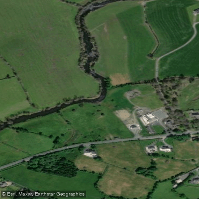
Annalee
- Boat Ramps
- 0
- Access Points
- 0
- Campsites
- 0
The River Annalee (Irish: Abhainn na hEoghancha) flows through County Cavan in Ireland, originating at Lough Sillan near Shercock and running approximately 67 kilometres westward before joining the River Erne, which ultimately drains to the Atlantic Ocean. The river passes through Lough Tacker and runs south of Cootehill before reaching Butlersbridge, after which it flows through a series of lakes on its way to the Erne confluence. The total catchment basin covers 522 square kilometres.
One documented paddling route runs from Cootehill downstream to Killykeen, a stretch that takes in the river's mid-section and the lake systems to the west of Butlersbridge. This section reflects the river's general character: a lowland agricultural river moving through open countryside and interconnected lakelands in the Upper Erne system.
The Annalee is well regarded as a fishery, with brown trout, perch, pike, roach, and bream present throughout the river. Trout fishing is particularly noted in the upper reaches, with fish reported to two or three pounds in weight, and the stretch below Knappagh Bridge upstream of Cootehill and the area near Deredis at Butlersbridge are recognised as productive angling locations. Paddlers should be aware that fishing activity is common along the river, particularly in these areas. The river has previously hosted national fly-fishing championships, indicating that angling pressure can be significant at times.
The main tributaries joining the Annalee include the Bunnoe, Laragh, Dromore, Knappagh, Madabawn, and Cavan Rivers, primarily entering below Cootehill, which may affect water levels and flow character in the lower sections of the river.
Water access, boat ramps & amenities
Learn how to get on Annalee. Uncover great paddling access points, boat ramps, and all the facilities you need for an unforgettable day on the water. Some locations shown may border or include private property. Always check property boundaries and applicable regulations before visiting. PaddleWays's Public & Private Land layer can help you plan your access with confidence.
Paddle smarter with real-time insights
Whether you're en route and conditions shift or you're looking for the best spot based on current flows, we enable you to make informed decisions on the fly.







Co. Cavan licenses and regulations
No licenses or regulations available for Co. Cavan.
Find Places to Paddle

Over 400,000 Places to Paddle
Every user gets free access to launch points, boat ramps, and public property parcels.


Water and weather conditions (10 day forecast)
See the best times to paddle Annalee and check the forecast before you go.
Butlers Bridge
Paddling near Annalee

Inny [Shannon]
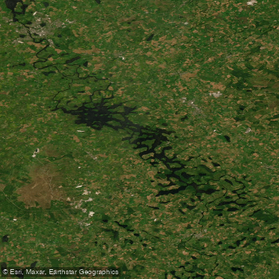
Erne (Lough) (Upper)
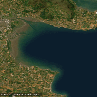
Outer Dundalk Bay
Erne
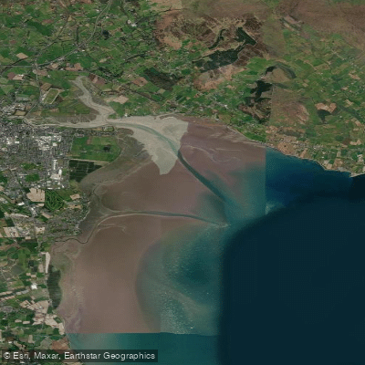
Inner Dundalk Bay
Boyne
Fane
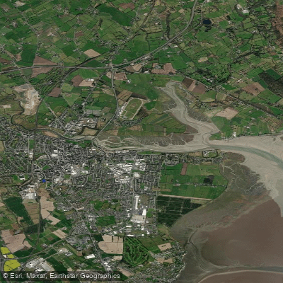
Castletown Estuary
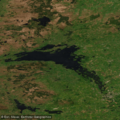
Lower Lough Erne
Explore Cavan waters
Top paddling waters
No waters available right now.
Popular Cities
Loading popular cities...
Explore near Annalee

Smarter Paddling Starts in the App.
Paddleways gives you everything you need to plan smarter, paddle better, and own every trip from first launch to takeout.