Erne
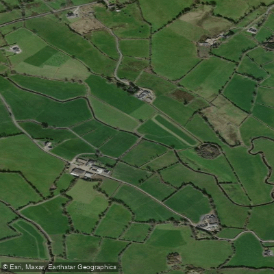
Erne
- Boat Ramps
- 0
- Access Points
- 2
- Campsites
- 0
The Erne system in County Fermanagh, Northern Ireland, consists of two large lakes — Upper Lough Erne and Lower Lough Erne — connected by a short river section through the town of Enniskillen. The system flows from south to north, with Upper Lough Erne to the south and Lower Lough Erne to the north. The total canoe trail covers approximately 42 miles. Access to the water is free and no licence is required to paddle.
Upper Lough Erne is characterised by a maze of bays, narrow channels of slow-moving water, and innumerable islands and peninsulas, making it well-suited to beginners and families. Lower Lough Erne, known locally as the "broad lough," is a more open expanse of water that can become very rough in strong winds and is better suited to experienced paddlers. The Arney River, which flows west to east from Lough MacNean Lower into Upper Lough Erne, is faster-moving Grade 1 water. The River Erne section through Enniskillen has a small but manageable flow for most of the year, though this can increase significantly during periods of heavy rainfall, and conditions should be checked in advance. Paddlers should keep to the left bank when travelling downstream through Enniskillen to use the lock channel.
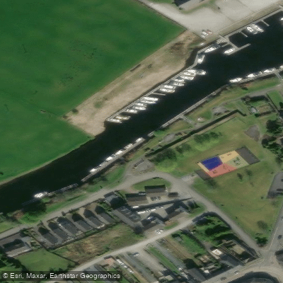
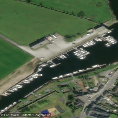
Several access points exist along the trail, including Castle Archdale Country Park (postcode BT94 1NB), which has a slipway, car parking, a café, and picnic facilities. Rossigh Bay offers a pontoon mooring and a camping site. Trory also provides water access and a wild camping area. Because many routes allow paddlers to start and finish from the same point, shuttles are generally not required, though local hire providers can assist with logistics.
Notable landmarks along the route include Devenish Island, with its 12th-century round tower standing 81 feet tall — a useful navigation marker — and its 6th-century monastic settlement founded by Saint Molaise. White Island features a 13th-century church ruin and seven enigmatic stone carvings. Crom Castle, a 19th-century estate, and the nearby Crichton Tower folly on Gad Island are also visible from the water. The area supports wildlife including pike and perch.
May through September offers the most favourable paddling conditions, with June and July providing the longest daylight hours and September typically seeing fewer visitors.
Water access, boat ramps & amenities
Learn how to get on Erne. Uncover great paddling access points, boat ramps, and all the facilities you need for an unforgettable day on the water. Some locations shown may border or include private property. Always check property boundaries and applicable regulations before visiting. PaddleWays's Public & Private Land layer can help you plan your access with confidence.
Paddle smarter with real-time insights
Whether you're en route and conditions shift or you're looking for the best spot based on current flows, we enable you to make informed decisions on the fly.







Co. Cavan licenses and regulations
No licenses or regulations available for Co. Cavan.
Find Places to Paddle

Over 400,000 Places to Paddle
Every user gets free access to launch points, boat ramps, and public property parcels.


Water and weather conditions (10 day forecast)
See the best times to paddle Erne and check the forecast before you go.
Sallaghan
All Flow Stations
Paddling near Erne

Inny [Shannon]
Outer Dundalk Bay
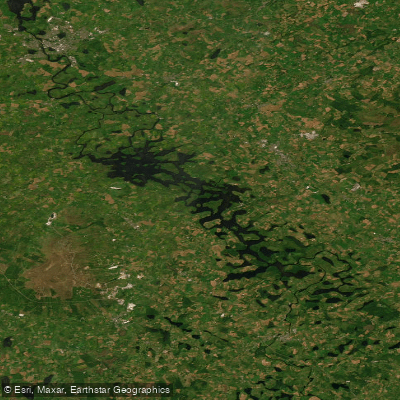
Erne (Lough) (Upper)
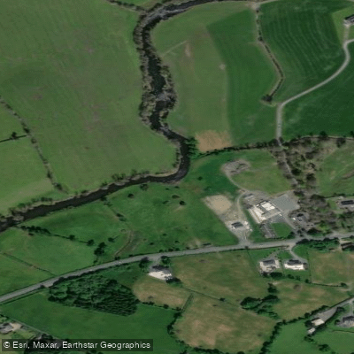
Annalee
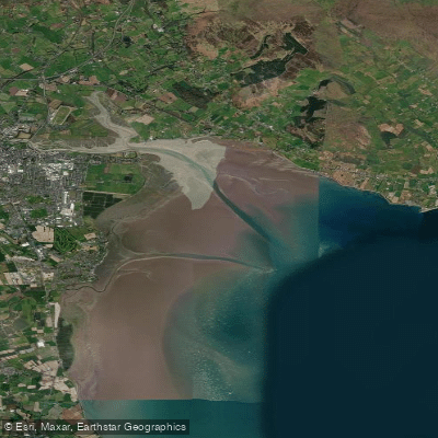
Inner Dundalk Bay

Shannon [Upper]
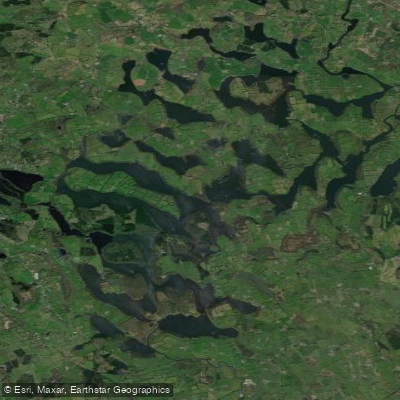
Lough Oughter
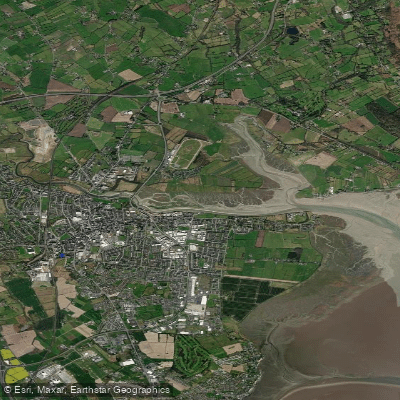
Castletown Estuary
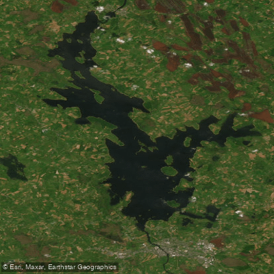
Lough Ree
Explore Cavan waters
Top paddling waters
No waters available right now.
Popular Cities
Loading popular cities...
Explore near Erne

Smarter Paddling Starts in the App.
Paddleways gives you everything you need to plan smarter, paddle better, and own every trip from first launch to takeout.