Shannon [Upper]

Shannon [Upper]
- Boat Ramps
- 4
- Access Points
- 11
- Campsites
- 2
The Upper Shannon in Ireland covers roughly 70km of the river's northern stretch, running from its source near the Shannon Pot southward through Lough Allen and on toward Carrick-on-Shannon and beyond to Rooskey. The river in its uppermost reaches — from the Shannon Pot to Dowra, approximately 15km — is generally considered unnavigable. This section is heavily overgrown, with the river narrowing to just two or three feet in places, making passage extremely difficult even for experienced paddlers.
The more commonly paddled upper section begins around Drumshanbo, at the southern end of Lough Allen, and runs approximately 15km to Battlebridge. From there, the river continues through Carrick-on-Shannon — widely regarded as the centre of boating activity on the Upper Shannon — and on to Rooskey, a stretch of roughly 30km. Access points along this corridor include Drumshanbo, Battlebridge, Carrick-on-Shannon, Ardnaffrin, Jamestown, Drumsna, Dromod, and Rooskey, each offering different facilities and points of interest. Carrick-on-Shannon in particular is a busy hub with a marina, provisions, pubs, and restaurants. Paddlers should be aware that cruisers and pleasure craft are common on this stretch, particularly around Carrick-on-Shannon, and the river sees significant boat traffic.
The Acres Lake Floating Boardwalk in Drumshanbo connects to a 6.5km riverside walk and serves as a useful orientation point for paddlers entering the river from Lough Allen. The landscape along the upper river is characterised by tree-lined banks, small lakes, and a shifting rural panorama. The area around Lough Allen sits at the boundary of counties Roscommon and Leitrim, offering a quieter, less trafficked alternative to the busier sections further south.
Guided tours are available at various points along the upper river, making this stretch accessible to less experienced paddlers. The river's generally flatwater character through this region suits a wide range of skill levels. Wildlife and natural scenery are consistent draws, and the surrounding area includes local heritage sites worth stopping to explore. The river is navigable for much of the year, with guided operations typically running from April through October.
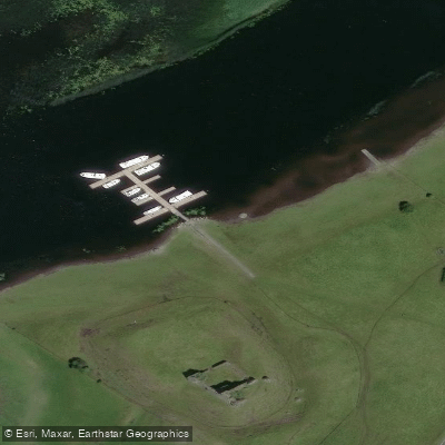
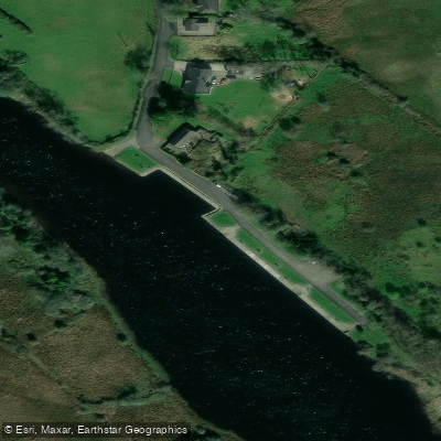
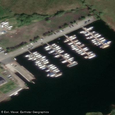
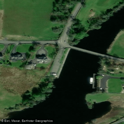
Water access, boat ramps & amenities
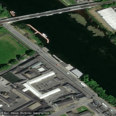
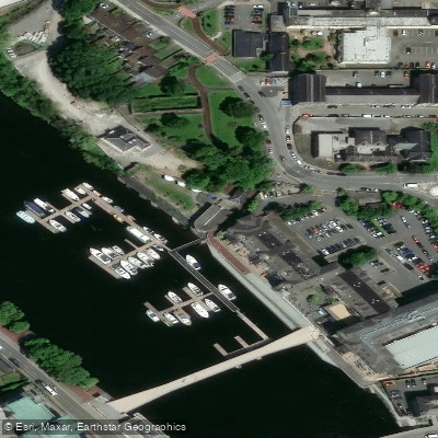
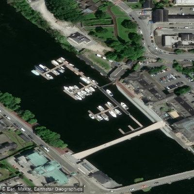
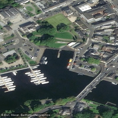
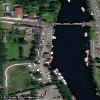
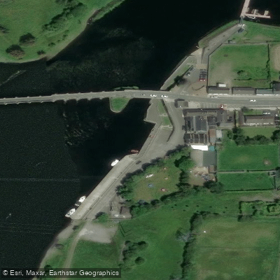
Learn how to get on Shannon [Upper]. Uncover great paddling access points, boat ramps, and all the facilities you need for an unforgettable day on the water. Some locations shown may border or include private property. Always check property boundaries and applicable regulations before visiting. PaddleWays's Public & Private Land layer can help you plan your access with confidence.
Paddle smarter with real-time insights
Whether you're en route and conditions shift or you're looking for the best spot based on current flows, we enable you to make informed decisions on the fly.







Co. Offaly licenses and regulations
No licenses or regulations available for Co. Offaly.
Find Places to Paddle

Over 400,000 Places to Paddle
Every user gets free access to launch points, boat ramps, and public property parcels.


Water and weather conditions (10 day forecast)
See the best times to paddle Shannon [Upper] and check the forecast before you go.
Athlone
All Flow Stations
Paddling near Shannon [Upper]
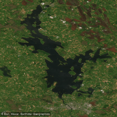
Lough Ree
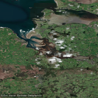
Ballysadare Estuary

Inny [Shannon]

Suck
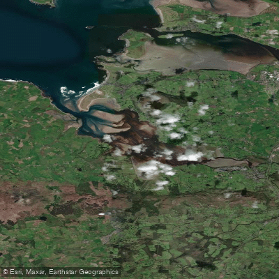
Ballysadare Bay
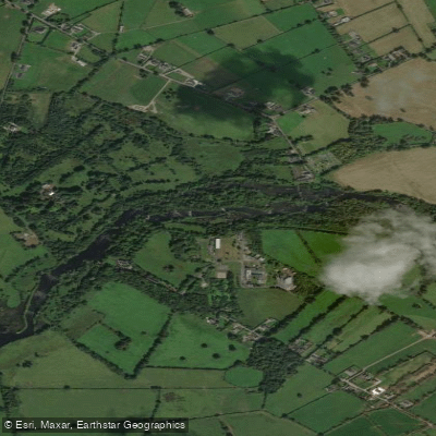
Shannon [Lower]
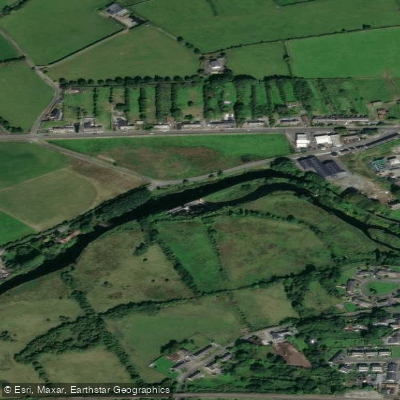
Boyle
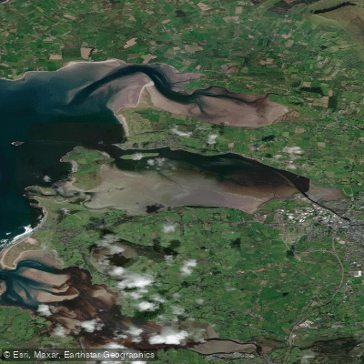
Garavoge Estuary
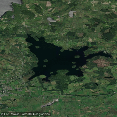
Lough Key
Explore Offaly waters
Top paddling waters
No waters available right now.
Popular Cities
Loading popular cities...
Explore near Shannon [Upper]
Access points
Nearby waters
More in Co. Offaly

Smarter Paddling Starts in the App.
Paddleways gives you everything you need to plan smarter, paddle better, and own every trip from first launch to takeout.