Garavoge Estuary
- Saltwater
- Estuary
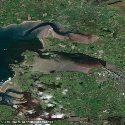
Garavoge Estuary
- Saltwater
- Estuary
- Sq. miles
- 7.1
- Boat Ramps
- 1
- Access Points
- 1
- Campsites
- 0
The Garavoge Estuary is a coastal saltwater feature extending approximately 6.4 kilometers from Sligo Town to the village of Rosses Point in County Sligo. It is formed by the outflow of the short Garavogue River from Lough Gill into Sligo Bay. The estuary is a significant navigational channel, allowing the passage of ships up to 10,000 tons as far as Sligo Town, which indicates the presence of substantial commercial boat traffic and a deep, maintained channel. This traffic is a primary hazard for paddlers, requiring careful awareness and channel crossing etiquette. The estuary's character is influenced by the tide, with the short river section upstream in Sligo Town known for forming playable rapids, waves, and holes specifically during low tide conditions when the river flow meets the bay. This whitewater section, approximately 300 to 500 meters long and running through an urban canyon of bridges and buildings, is graded as a challenging 2 to 3 and is not suitable for beginners due to shallow water, tricky lines beneath bridges, and potential urban debris hazards like shopping trolleys. Access for this specific whitewater section is described behind the Bank of Ireland on Stephen Street, with a put-in over a low wall by Weekender offices or via a seal launch by the Garavogue bar footbridge. The take-out is a slipway on river left below the rapids on Quay Street. The aesthetic is a mix of urban Sligo architecture transitioning to a more open coastal bay. Guided kayak tours are available from local operators, focusing on the coastal estuaries and inland lakes of the region, with tours typically departing in the morning.
Water access, boat ramps & amenities
Learn how to get on Garavoge Estuary. Uncover great paddling access points, boat ramps, and all the facilities you need for an unforgettable day on the water. Some locations shown may border or include private property. Always check property boundaries and applicable regulations before visiting. PaddleWays's Public & Private Land layer can help you plan your access with confidence.
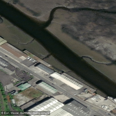
Paddle smarter with real-time insights
Whether you're en route and conditions shift or you're looking for the best spot based on current flows, we enable you to make informed decisions on the fly.







Co. Sligo licenses and regulations
No licenses or regulations available for Co. Sligo.
Find Places to Paddle

Over 400,000 Places to Paddle
Every user gets free access to launch points, boat ramps, and public property parcels.


Tides, wind & water conditions (10 day forecast)
On open water, wind and tide matter as much as the weather. See the best times to paddle Garavoge Estuary and check the marine forecast before you launch.
Loading tide predictions…
Paddling near Garavoge Estuary

Shannon [Upper]
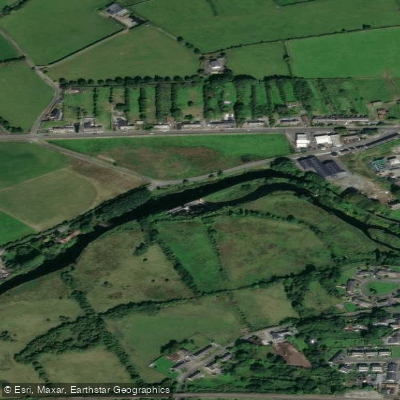
Boyle
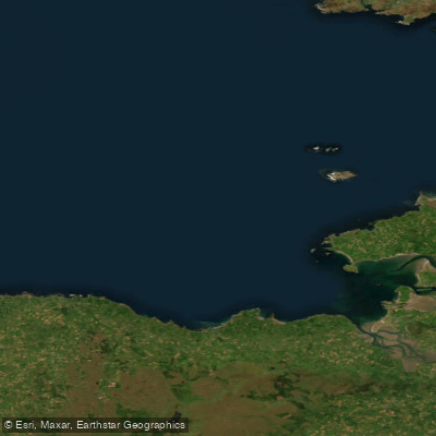
Donegal Bay Southern
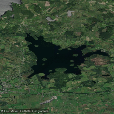
Lough Key
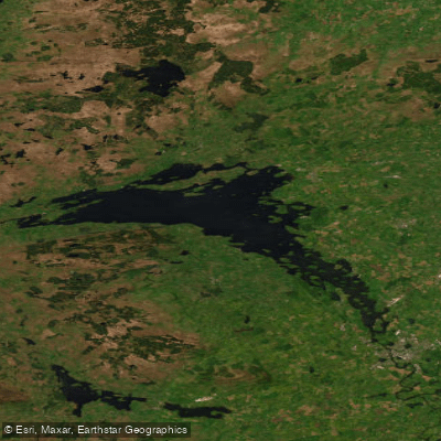
Lower Lough Erne
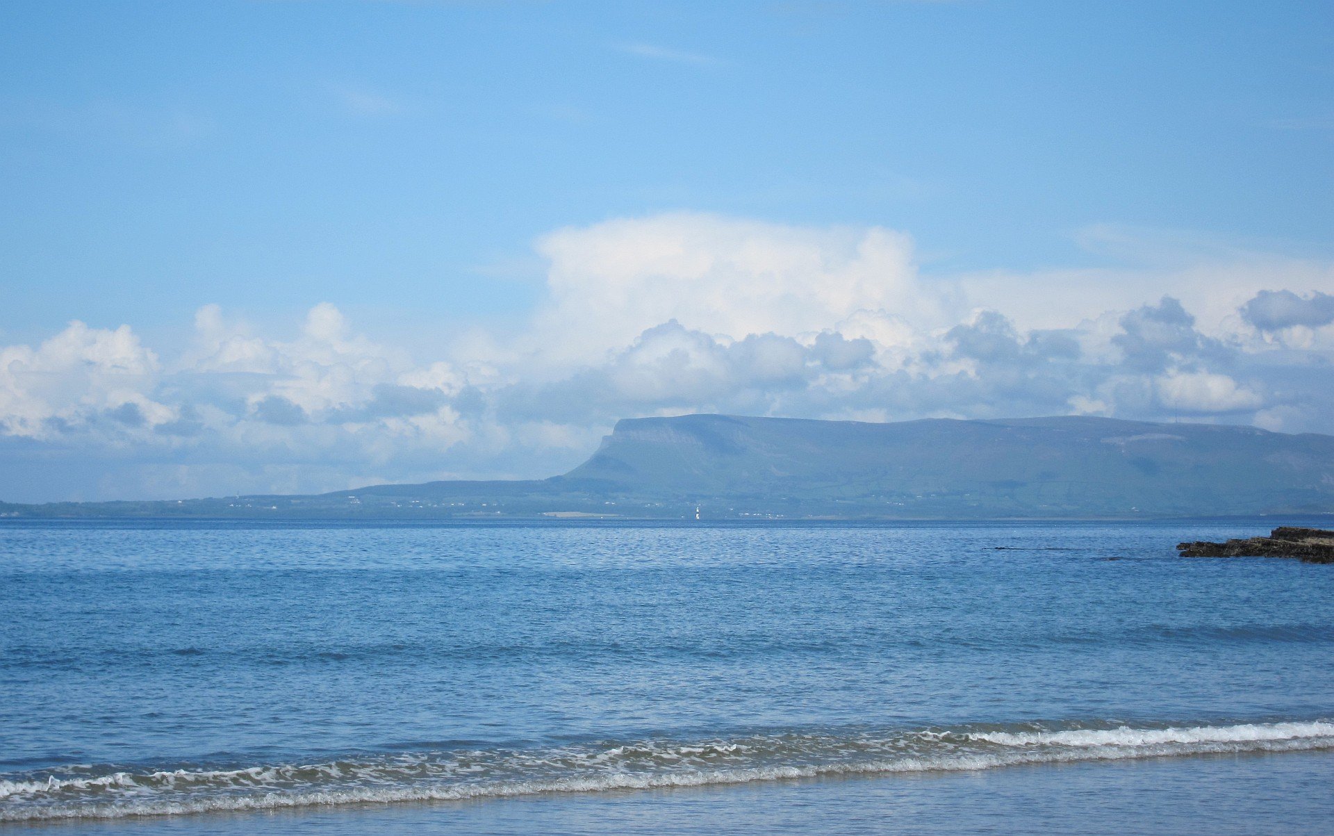
Sligo Bay

Suck
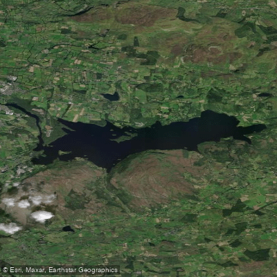
Lough Gill
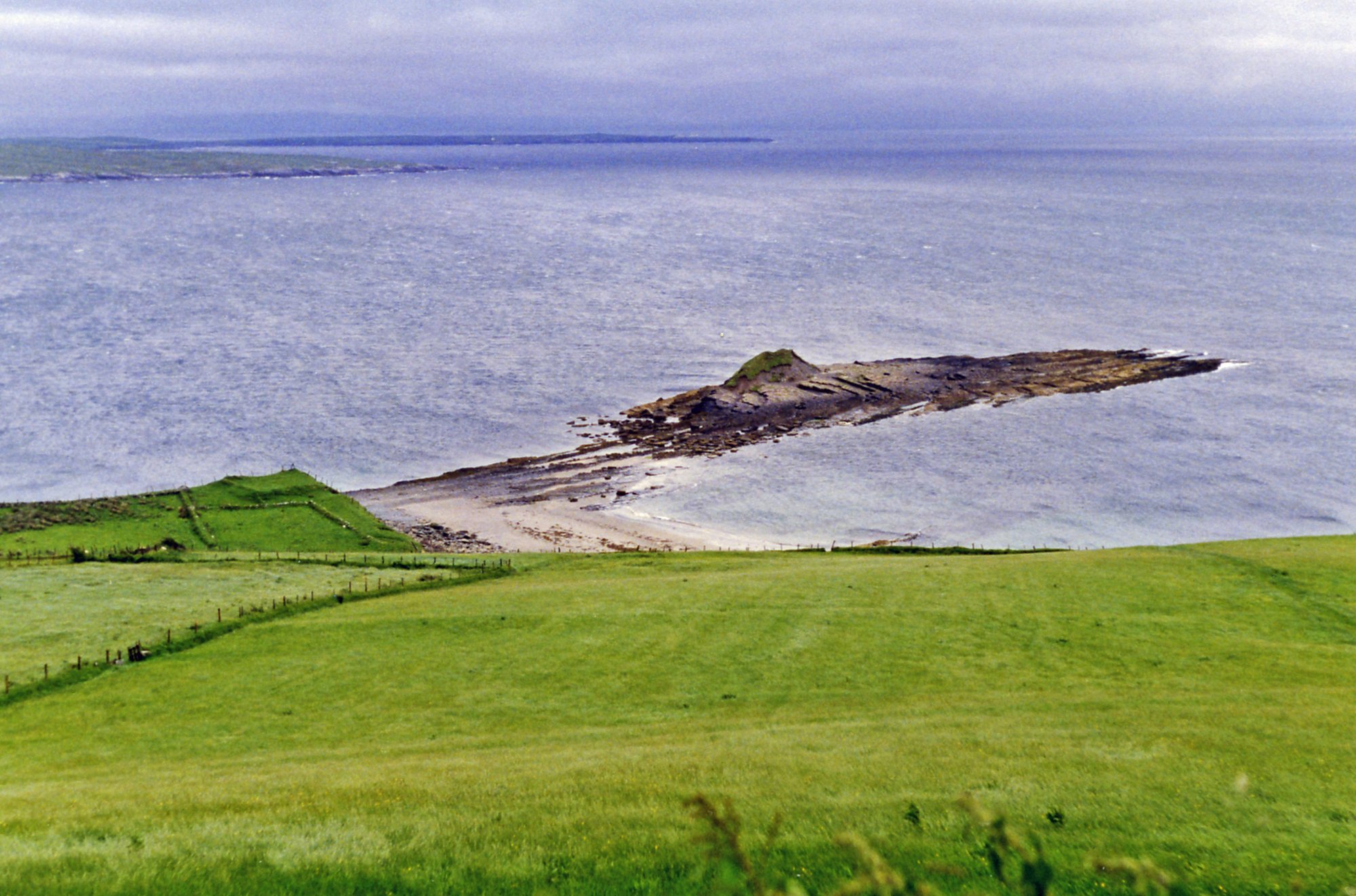
Donegal Bay
Owenmore [Sligo]
Explore Sligo waters
Top paddling waters
No waters available right now.
Popular Cities
Loading popular cities...
Explore near Garavoge Estuary

Smarter Paddling Starts in the App.
Paddleways gives you everything you need to plan smarter, paddle better, and own every trip from first launch to takeout.