Youghal Bay
- Saltwater
- Bay
Youghal Bay
- Saltwater
- Bay
- Sq. miles
- 18
- Boat Ramps
- 0
- Access Points
- 0
- Campsites
- 1
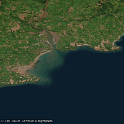
Youghal Bay is a coastal bay at the mouth of the River Blackwater, forming a natural harbour on the border of County Cork and County Waterford. The bay opens to the Atlantic Ocean, creating a mix of sandy shoreline and rugged coast. A prominent geographical feature is Ferry Point, a narrow 800-meter-long sand and shingle spit extending from the Waterford side towards Youghal town. The channel between the tip of Ferry Point and Youghal is only about 400 meters wide and is known for strong currents as the Blackwater empties into the bay, a stretch historically noted as dangerous for boaters. The bay's northern shore consists of mudflats that serve as a habitat for birds like Little Egrets and Black-Tailed Godwits. For paddlers, primary access points are the slipways and beaches in the town of Youghal, including Front Strand beach, which is linked by a boardwalk to Claycastle and Redbarn beaches. These sandy beaches offer gently shelving entries suitable for launching kayaks, paddleboards, or canoes. The bay is exposed to southerly winds blowing in from the Atlantic, which can generate significant chop, especially when opposing the outgoing tidal current from the river. Tidal influence is strong, with a notable falling tide referenced in rescue reports. The area sees pleasure craft traffic, and paddlers should be mindful of the channel near Ferry Point where currents are swift. The RNLI lifeboat station in Youghal indicates active marine rescue services, highlighting that conditions can become hazardous, particularly for small craft near rocks such as those around Goat Island. The overall paddling experience offers views of a historic medieval town, pastel-colored houses, and the Youghal Bridge spanning the river upstream. The presence of lifeboat callouts for kayakers in difficulty underscores the need for caution regarding wind, tide, and current.
Water access, boat ramps & amenities
Learn how to get on Youghal Bay. Uncover great paddling access points, boat ramps, and all the facilities you need for an unforgettable day on the water. Some locations shown may border or include private property. Always check property boundaries and applicable regulations before visiting. PaddleWays's Public & Private Land layer can help you plan your access with confidence.
Paddle smarter with real-time insights
Whether you're en route and conditions shift or you're looking for the best spot based on current flows, we enable you to make informed decisions on the fly.







Co. Waterford licenses and regulations
No licenses or regulations available for Co. Waterford.
Find Places to Paddle

Over 400,000 Places to Paddle
Every user gets free access to launch points, boat ramps, and public property parcels.


Tides, wind & water conditions (10 day forecast)
On open water, wind and tide matter as much as the weather. See the best times to paddle Youghal Bay and check the marine forecast before you launch.
Loading tide predictions…
Paddling near Youghal Bay
Suir
Blackwater [Munster]
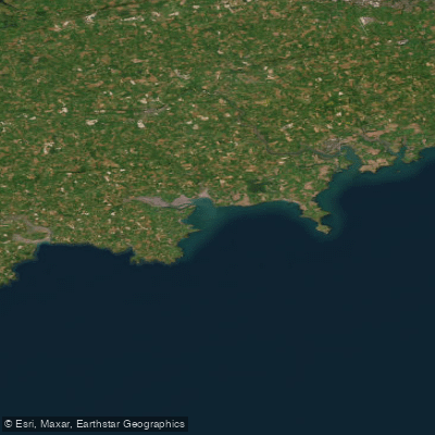
Western Celtic Sea (HAs 18;19;20)
Lee [Cork]
Colligan
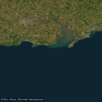
Eastern Celtic Sea (HAs 13;17)
Mahon
Nier
Clodiagh [Portlaw]
Explore Waterford waters
Top paddling waters
No waters available right now.
Popular Cities
Loading popular cities...
Explore near Youghal Bay
Access points
Nearby waters
More in Co. Waterford

Smarter Paddling Starts in the App.
Paddleways gives you everything you need to plan smarter, paddle better, and own every trip from first launch to takeout.