Nier
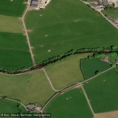
Nier
- Boat Ramps
- 0
- Access Points
- 0
- Campsites
- 1
The River Nire is a grade 3 whitewater river located near the village of Ballymacarbery in the Nire Valley, County Waterford. The river requires heavy recent rainfall to run at a paddleable level, with the most enjoyable conditions occurring at approximately 1 metre or slightly above on the gauge.
The character of the river is defined by short rapids, small drops, and waves suitable for surfing. There is also a series of drops that offer multiple line options, making it well-suited for practicing techniques such as the boof stroke. Well-positioned pools follow each drop, which aids in equipment recovery when necessary. The river runs alongside a road for much of its length, making access straightforward.
The primary hazard on the river is trees, which are particularly prevalent on the first section. Paddlers should account for the possibility of a longer outing than expected, as the surfing opportunities can extend time on the water considerably — trips of four hours have been reported.
The valley setting is notably scenic, and red squirrels have been observed along the riverbanks, making it of interest to paddlers with an eye for wildlife. The river is considered slightly more technically demanding than the Bundorragha river, providing a reasonable step up in challenge for paddlers looking to progress.
For those interested in whitewater rafting rather than kayaking, the outfitter I-CANOE has been suggested as a contact for guided experiences in the southern part of Ireland.
Water access, boat ramps & amenities
Learn how to get on Nier. Uncover great paddling access points, boat ramps, and all the facilities you need for an unforgettable day on the water. Some locations shown may border or include private property. Always check property boundaries and applicable regulations before visiting. PaddleWays's Public & Private Land layer can help you plan your access with confidence.
Paddle smarter with real-time insights
Whether you're en route and conditions shift or you're looking for the best spot based on current flows, we enable you to make informed decisions on the fly.







Co. Tipperary licenses and regulations
No licenses or regulations available for Co. Tipperary.
Find Places to Paddle

Over 400,000 Places to Paddle
Every user gets free access to launch points, boat ramps, and public property parcels.


Water and weather conditions (10 day forecast)
See the best times to paddle Nier and check the forecast before you go.
Fourmilewater
Paddling near Nier
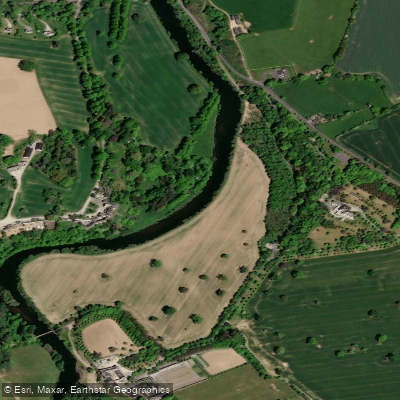
Suir
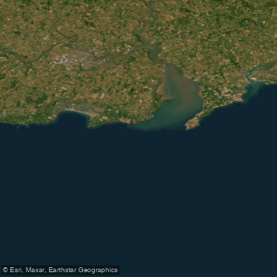
Eastern Celtic Sea (HAs 13;17)
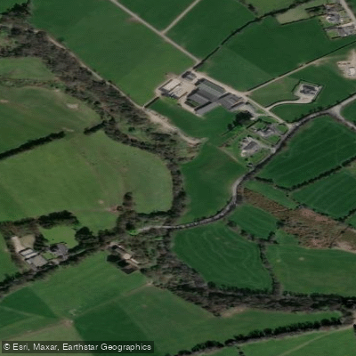
Clodiagh [Portlaw]
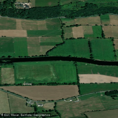
Blackwater [Munster]
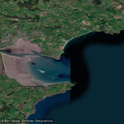
Dungarvan Harbour
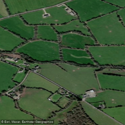
Mahon

Barrow
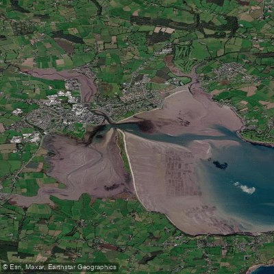
Colligan Estuary
Colligan
Explore Tipperary waters
Top paddling waters
No waters available right now.
Popular Cities
Loading popular cities...
Explore near Nier
Access points
Nearby waters
More in Co. Tipperary

Smarter Paddling Starts in the App.
Paddleways gives you everything you need to plan smarter, paddle better, and own every trip from first launch to takeout.