Clodiagh [Portlaw]
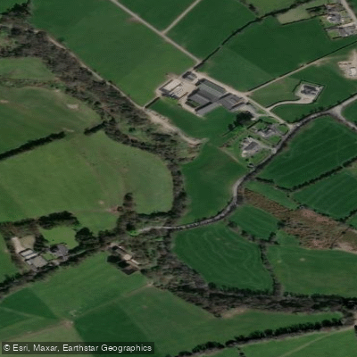
Clodiagh [Portlaw]
- Boat Ramps
- 0
- Access Points
- 0
- Campsites
- 0
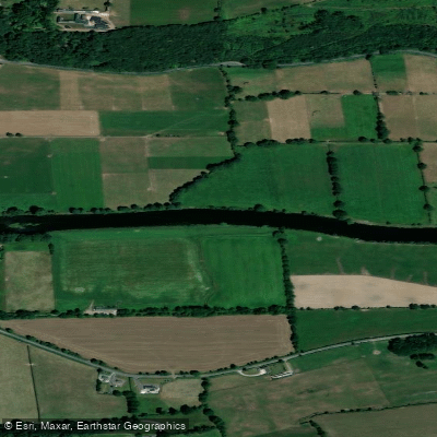
The River Clodiagh (Irish: An Chlóideach) rises in Lough Coumduala in the Comeragh Mountains of north County Waterford, descending from approximately 470 metres above sea level before flowing eastward through the villages of Rathgormack, Clonea-Power, and Portlaw, where it joins the River Suir. The total length from source to confluence is approximately 28–32 kilometres, and the river drains a catchment of around 130 square kilometres.
The primary put-in is located near Clonea-Power, accessed off the Carrick-on-Suir road (R677). The take-out is typically at Portlaw, where the river meets the Suir. The river can be run in smaller sections, with Clonea or Portlaw serving as intermediate or final egress points. Parking is available at various points depending on the chosen section. River level gauges are located at the bridge in Portlaw and at the bridge in Clonea village, which can assist in assessing conditions before launching.
There are several serious hazards that paddlers must be aware of. A low-head dam weir located after the old Tannery building in Portlaw has been the site of two fatal drownings. An official investigation concluded that the backflow at this weir exceeds half a kayak length, making it impassable regardless of water level, and the weir's design renders it inherently dangerous. Old machinery associated with the former tannery remains in the river. Through Lord Waterford's estate (Curraghmore Estate), a number of low bridges cross the river. Between the mountains and Clonea, farmers have strung fences across the river in places, and a low concrete access bridge presents a serious risk in high water.
Access through Curraghmore Estate requires consideration, as the land is private, though a road through the estate is open to visitors. The river is also used for licensed angling for brown trout and Atlantic salmon, with the open season running from March 1 to September 30.
The river passes through ecologically significant terrain. It is one of only three river systems in County Waterford supporting populations of the critically endangered freshwater pearl mussel, and the Clodiagh-Portlaw sub-catchment has been assessed as having particularly healthy ecological status. The upper reaches feature fast-flowing, shallow water characteristic of a mountain-fed river, transitioning as it descends toward the tidal lower reaches near Portlaw.
Given the documented fatalities and the presence of multiple fixed hazards, scouting each section before running is strongly advised.
Water access, boat ramps & amenities
Learn how to get on Clodiagh [Portlaw]. Uncover great paddling access points, boat ramps, and all the facilities you need for an unforgettable day on the water. Some locations shown may border or include private property. Always check property boundaries and applicable regulations before visiting. PaddleWays's Public & Private Land layer can help you plan your access with confidence.
Paddle smarter with real-time insights
Whether you're en route and conditions shift or you're looking for the best spot based on current flows, we enable you to make informed decisions on the fly.







Co. Waterford licenses and regulations
No licenses or regulations available for Co. Waterford.
Find Places to Paddle

Over 400,000 Places to Paddle
Every user gets free access to launch points, boat ramps, and public property parcels.


Water and weather conditions (10 day forecast)
See the best times to paddle Clodiagh [Portlaw] and check the forecast before you go.
No forecast data available.
Paddling near Clodiagh [Portlaw]
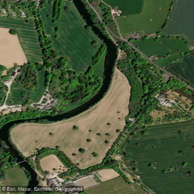
Suir

Barrow
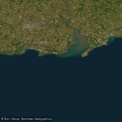
Eastern Celtic Sea (HAs 13;17)
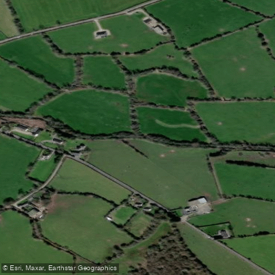
Mahon
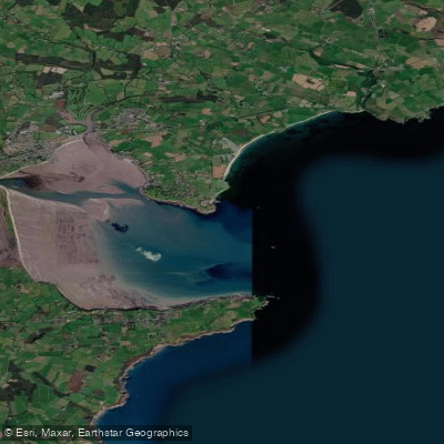
Dungarvan Harbour
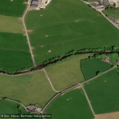
Nier
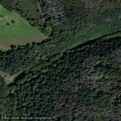
Colligan
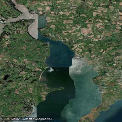
Barrow Suir Nore Estuary
Blackwater [Munster]
Explore Waterford waters
Top paddling waters
No waters available right now.
Popular Cities
Loading popular cities...
Explore near Clodiagh [Portlaw]

Smarter Paddling Starts in the App.
Paddleways gives you everything you need to plan smarter, paddle better, and own every trip from first launch to takeout.