Cahore
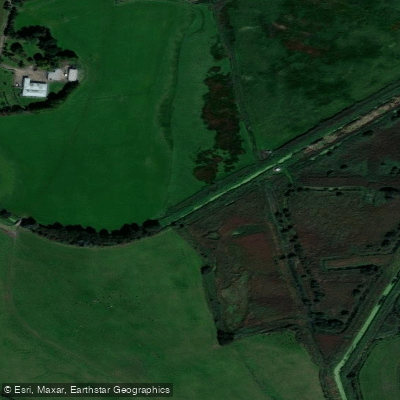
Cahore
- Boat Ramps
- 0
- Access Points
- 0
- Campsites
- 0
Cahore, also known as Polduff, is a small open harbour on Ireland's east coast along Wexford's northeastern coastline, situated approximately 35km north of Wexford Town and about an hour south of Dublin. The harbour sits within a bight and faces east, overlooking the Irish Sea, with a pier at one end of a roughly 500-metre section of coastline. The area is bordered to the west by a car park and a line of sand dunes, which form part of the Cahore Polders and Dunes National Heritage Area.
The harbour is entirely exposed except in offshore conditions from the southwest through west to northwest, making wind direction a critical consideration for anyone launching from here. The approach is free from outlying obstacles and sandbanks between the harbour and the Irish Sea, though paddlers should keep approximately 200 metres off the shoreline on the extremities of the harbour bight. The pier provides a practical launch and landing point; a slipway is also available at the harbour.
The surrounding coastline offers notable features of interest. To the south of the harbour, a golden sand beach extends past Morriscastle toward Curracloe and the Raven, representing one of the longer stretches of sandy beach in Ireland. The cliff walk north of the pier passes stone lookout towers, the remains of Cahore Castle, contorted rock strata, and the remnants of a WWII Éire sign. Views north take in Tara Hill and Arklow. The area falls within a Special Area of Conservation.
Basic facilities are available near the harbour, including a shop with basic provisions, a public house, and the slipway. The pier area has parking. The village of Ballygarrett is approximately 2km away. Given the fully exposed easterly aspect, paddlers should pay close attention to wind and swell forecasts, as conditions can deteriorate quickly with any easterly component to the wind.
Water access, boat ramps & amenities
Learn how to get on Cahore. Uncover great paddling access points, boat ramps, and all the facilities you need for an unforgettable day on the water. Some locations shown may border or include private property. Always check property boundaries and applicable regulations before visiting. PaddleWays's Public & Private Land layer can help you plan your access with confidence.
Paddle smarter with real-time insights
Whether you're en route and conditions shift or you're looking for the best spot based on current flows, we enable you to make informed decisions on the fly.







Co. Wexford licenses and regulations
No licenses or regulations available for Co. Wexford.
Find Places to Paddle

Over 400,000 Places to Paddle
Every user gets free access to launch points, boat ramps, and public property parcels.


Water and weather conditions (10 day forecast)
See the best times to paddle Cahore and check the forecast before you go.
No forecast data available.
Paddling near Cahore
Avonbeg
Avonmore

St George's Channel

Barrow
Vartry
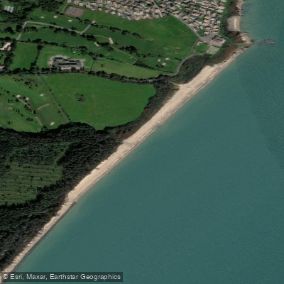
Duffcarrig Rocks Beach
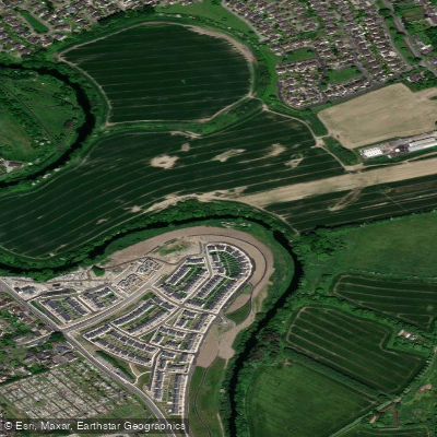
Liffey
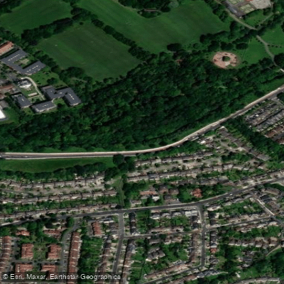
Dodder
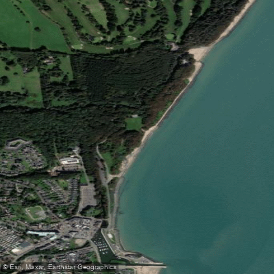
Owenavorragh Estuary
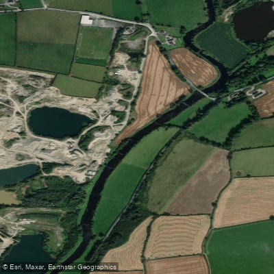
Slaney
Explore Wexford waters
Top paddling waters
No waters available right now.
Popular Cities
Loading popular cities...
Explore near Cahore
Nearby waters
More in Co. Wexford

Smarter Paddling Starts in the App.
Paddleways gives you everything you need to plan smarter, paddle better, and own every trip from first launch to takeout.