Carrawaystick
Carrawaystick
- Boat Ramps
- 0
- Access Points
- 0
- Campsites
- 0
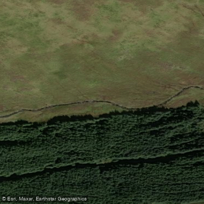
Carrawaystick Waterfall is a significant, tumbling waterfall located in the remote Glenmalure Valley within County Wicklow, Ireland, east of Lugnaquilla, the highest point in the Wicklow Mountains. The primary access point for the area is the Drumgoff Recreation Area Forest Car Park, which serves as a trailhead for routes leading into the landscape surrounding Carrawaystick. This car park is located at GPS coordinates 52.969, -6.374, with a grid reference of T 093 889. There is no public transport to this start point, with the nearest train station being in Rathdrum. The terrain in this area includes forest trails and boardwalks, but the network of forest roads can be difficult to navigate, requiring paddlers to remain on marked trails. The overall character of the area is one of remote, mountainous terrain. The Drumgoff Forest to Carrawaystick route is a linear trail, approximately 2.5 kilometers one way, with a total height climbed of 180 meters to a highest point of 500 meters. This route is considered of moderate grade and is marked with white markers. A longer, more challenging circular trail of approximately 15.0 kilometers also exists, encompassing Carrawaystick and Clohernagh Mountain. The area is popular for hiking, birding, and mountain activities. For those accessing the open mountains, it is essential to be properly equipped and capable of navigating in potentially difficult conditions. The aesthetic of the water body is defined by its status as a large waterfall set within a deep valley.
Water access, boat ramps & amenities
Learn how to get on Carrawaystick. Uncover great paddling access points, boat ramps, and all the facilities you need for an unforgettable day on the water. Some locations shown may border or include private property. Always check property boundaries and applicable regulations before visiting. PaddleWays's Public & Private Land layer can help you plan your access with confidence.
Paddle smarter with real-time insights
Whether you're en route and conditions shift or you're looking for the best spot based on current flows, we enable you to make informed decisions on the fly.







Co. Wicklow licenses and regulations
No licenses or regulations available for Co. Wicklow.
Find Places to Paddle

Over 400,000 Places to Paddle
Every user gets free access to launch points, boat ramps, and public property parcels.


Water and weather conditions (10 day forecast)
See the best times to paddle Carrawaystick and check the forecast before you go.
No forecast data available.
Paddling near Carrawaystick

Barrow
Avonbeg
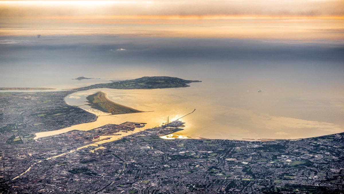
Dublin Bay
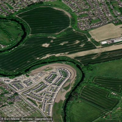
Liffey
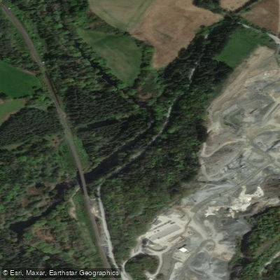
Avonmore

St George's Channel
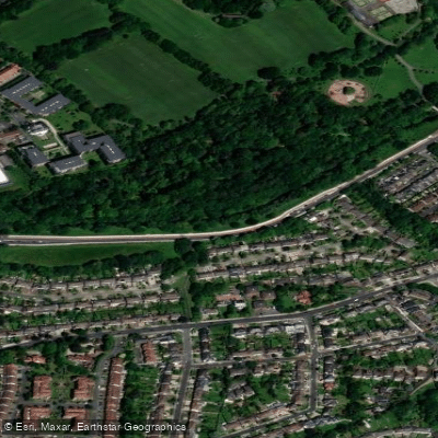
Dodder
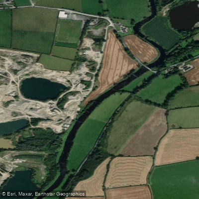
Slaney
Avoca Estuary
Vartry
Explore Wicklow waters
Top paddling waters
No waters available right now.
Popular Cities
Loading popular cities...
Explore near Carrawaystick
Nearby waters
More in Co. Wicklow

Smarter Paddling Starts in the App.
Paddleways gives you everything you need to plan smarter, paddle better, and own every trip from first launch to takeout.