Zuidlaardermeer
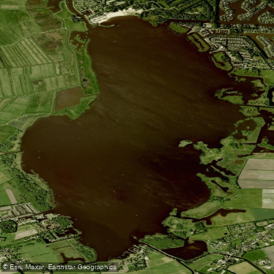
Zuidlaardermeer
- Boat Ramps
- 0
- Access Points
- 4
- Campsites
- 1
The Zuidlaardermeer is a shallow lowland lake of approximately 540 hectares situated on the border of the provinces of Groningen and Drenthe in the northern Netherlands, near the village of Zuidlaren. The lake was formed between 5,000 and 8,000 years ago and is fed by the river Hunze, which enters from the southeast and exits in the north as the Drentsche Diep. The average depth is around 1 metre (roughly 3 feet), though the marked north-south fairway maintains a more comfortable depth of approximately 2 metres. Outside the fairway, depths drop quickly — some areas along the western shore hold only 0.50–0.80 metres — so consulting a chart before paddling is advisable.
For canoeists and kayakers, the lake is a natural destination on the 27-kilometre Veenkoloniën canoe route, which begins at Kiel-Windeweer and passes through the Kieldiep, the Annerveense Kanaal, and the Hunze before opening onto the Zuidlaardermeer. The lake serves as the turnaround point before paddlers retrace the route back to the start. The surrounding area includes wet meadows, extensive reed beds, and low shores. The lake sits within a Natura 2000 protected area, and the central reed beds and goose resting areas are subject to restrictions during the breeding season.
The lake is a significant stopover for migratory birds; thousands of geese arrive in autumn, and rare marsh birds nest in the reeds in spring. This makes spring and autumn particularly interesting for wildlife observation from the water. In summer, the lake sees considerable sailing traffic, as it is one of the few lakes in the region suitable for sailing, so paddlers should be aware of motorboat and sailboat activity.
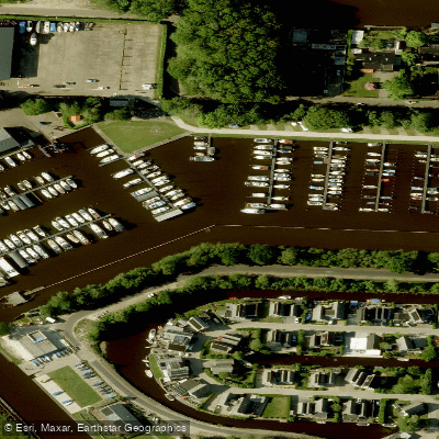
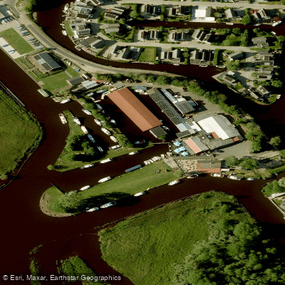
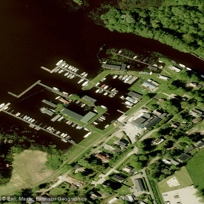
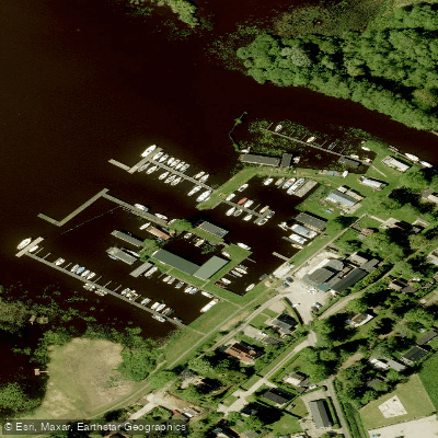
Several facilities are accessible from the water. On the northeastern shore, Allround Watersport Meerwijck offers marina berths and amenities. In the south, Jachthaven Meerzicht provides mooring, and Paviljoen Meerzicht is located nearby. Rest stops along the canoe route include Paviljoen de Leine and Beachclub Vifero near the lake. Informal swimming occurs on the east side near Meerzicht and in the south near Kropswolde; paddlers should check zwemwater.nl for blue-green algae advisories during hot summers before entering the water.
Water access, boat ramps & amenities
Learn how to get on Zuidlaardermeer. Uncover great paddling access points, boat ramps, and all the facilities you need for an unforgettable day on the water. Some locations shown may border or include private property. Always check property boundaries and applicable regulations before visiting. PaddleWays's Public & Private Land layer can help you plan your access with confidence.
Paddle smarter with real-time insights
Whether you're en route and conditions shift or you're looking for the best spot based on current flows, we enable you to make informed decisions on the fly.







Drenthe licenses and regulations
No licenses or regulations available for Drenthe.
Find Places to Paddle

Over 400,000 Places to Paddle
Every user gets free access to launch points, boat ramps, and public property parcels.


Water and weather conditions (10 day forecast)
See the best times to paddle Zuidlaardermeer and check the forecast before you go.
No forecast data available.
Paddling near Zuidlaardermeer
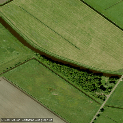
Hunze
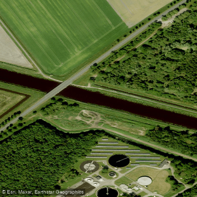
A.G. Wildervanckkanaal
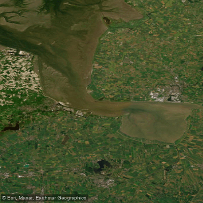
Eems-Dollard
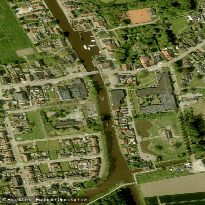
Termunterzijldiep
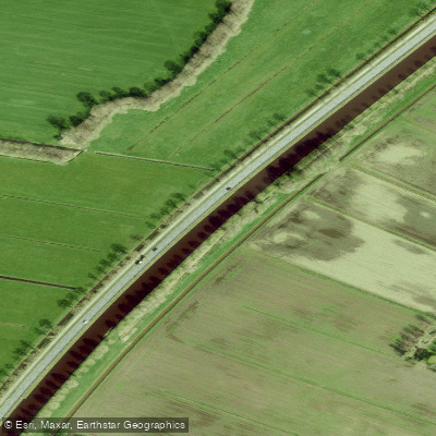
Drentsche Hoofdvaart
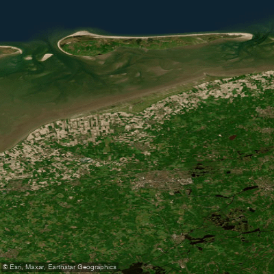
Waddenzee vastelandskust
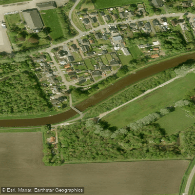
Afwateringskanaal van Duurswold
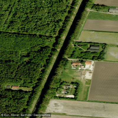
Ruiten Aa Kanaal
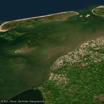
Waddenzee
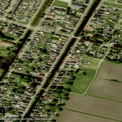
Oosterdiep
Explore Drenthe waters
Top paddling waters
No waters available right now.
Popular Cities
Loading popular cities...
Explore near Zuidlaardermeer
Nearby waters
More in Drenthe

Smarter Paddling Starts in the App.
Paddleways gives you everything you need to plan smarter, paddle better, and own every trip from first launch to takeout.