Vliehors
- Saltwater
- Beach
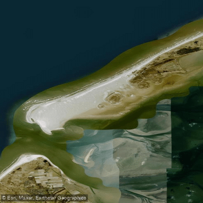
Vliehors
- Saltwater
- Beach
- Sq. miles
- 6.5
- Boat Ramps
- 0
- Access Points
- 0
- Campsites
- 0
Vliehors is a vast, exposed beach and sand plain on the western side of Vlieland island in the Dutch Wadden Sea. It is approximately 24 square kilometers in area, making it the largest sandy plain of its kind in Europe, and is often referred to as the 'Sahara of the North'. The beach changes shape constantly due to tide and weather conditions. For paddlers launching from shore, this is a remote and dynamic environment. The primary access for reaching the Vliehors area is via the Vliehors Expres, a four-wheel drive bus service that operates from the main village, as the area is a significant distance from the island's inhabited eastern end. The western part of Vliehors is a military training ground for the Royal Dutch Air Force and NATO partners, where live ammunition and explosive charges are used. Consequently, public access is strictly prohibited when the red flag is raised, which occurs on weekdays. The area is only freely accessible on weekends when the flag is lowered. There are no marked trails or formal facilities on the sand plain itself. The shoreline is characterized by wide, sandy beaches with a continuous wind. Key sights reachable from this beach include the Drenkelingenhuisje, a small rescue house that now serves as a beachcomber museum, and the most western point of Vlieland, from which the neighboring island of Texel is visible. This western point is a prime location for spotting seals along the coastline. The overall character for paddlers is one of solitude and exposure to the elements, with significant considerations for military activity, wind, and tidal forces. Paddling here is contingent upon the military schedule, being viable only on weekends.
Water access, boat ramps & amenities
Learn how to get on Vliehors. Uncover great paddling access points, boat ramps, and all the facilities you need for an unforgettable day on the water. Some locations shown may border or include private property. Always check property boundaries and applicable regulations before visiting. PaddleWays's Public & Private Land layer can help you plan your access with confidence.
Paddle smarter with real-time insights
Whether you're en route and conditions shift or you're looking for the best spot based on current flows, we enable you to make informed decisions on the fly.







Friesland licenses and regulations
No licenses or regulations available for Friesland.
Find Places to Paddle

Over 400,000 Places to Paddle
Every user gets free access to launch points, boat ramps, and public property parcels.


Tides, wind & water conditions (10 day forecast)
On open water, wind and tide matter as much as the weather. See the best times to paddle Vliehors and check the marine forecast before you launch.
Loading tide predictions…
Paddling near Vliehors
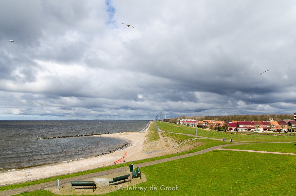
IJsselmeer
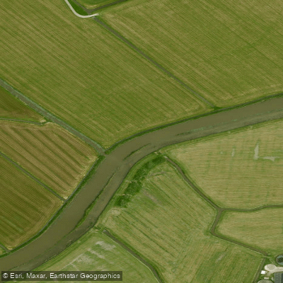
Bolswardertrekvaart
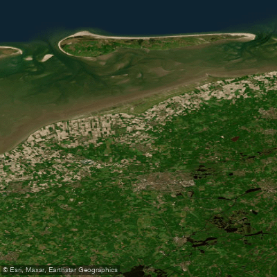
Waddenzee vastelandskust
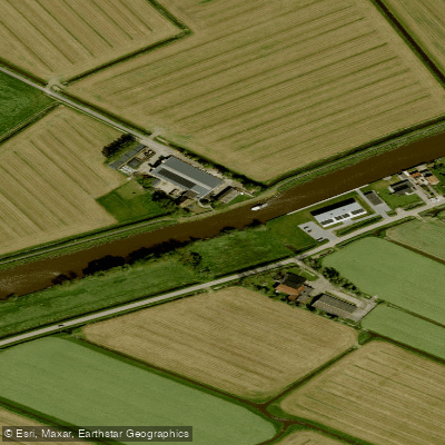
Dokkumer-Ee
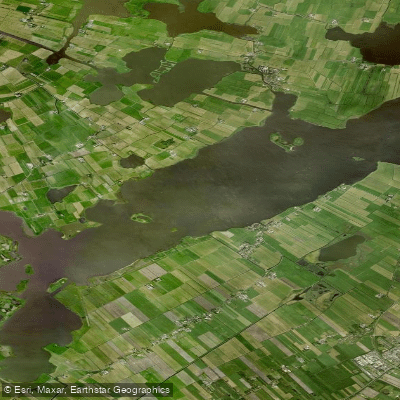
De Fluezen
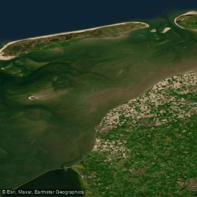
Waddenzee
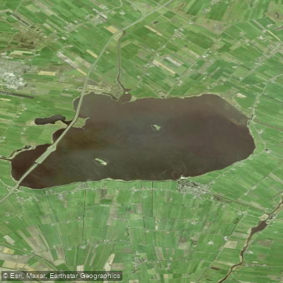
Tsjûkemar
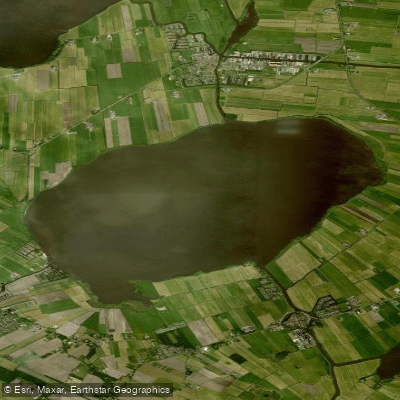
Sleattemer Mar
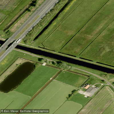
Nieuwe Vaart
Explore Friesland waters
Top paddling waters
No waters available right now.
Popular Cities
Loading popular cities...
Explore near Vliehors

Smarter Paddling Starts in the App.
Paddleways gives you everything you need to plan smarter, paddle better, and own every trip from first launch to takeout.