Drentsche Diep
Drentsche Diep
- Boat Ramps
- 0
- Access Points
- 0
- Campsites
- 1
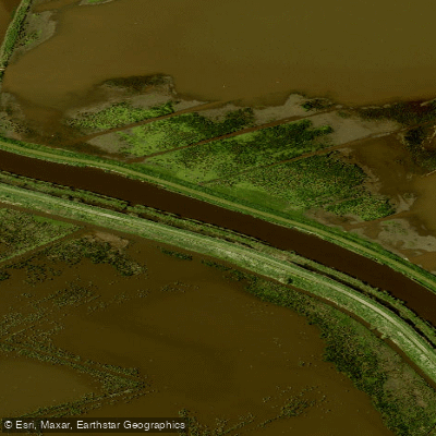
The Drentsche Diep is a short waterway of approximately 7 kilometres connecting the Winschoterdiep to the Zuidlaardermeer, a natural inland lake in the northern Netherlands. It forms part of the Hunze river system, occupying the stretch between the northern edge of the Zuidlaardermeer and the Winschoterdiep. Geographically, it sits within an ancient glacial valley carved by meltwater, though the flat surrounding landscape gives little visual indication of this origin today.
The waterway has been regulated and its current is minimal — paddlers travelling southward toward the Zuidlaardermeer will be moving upstream but are unlikely to notice any appreciable flow. The course retains a slightly meandering character, a remnant of its natural river origins. Banks are lined with reeds, and the surrounding land consists of pastures and hay meadows, giving the route a quiet, rural character through open agricultural countryside.
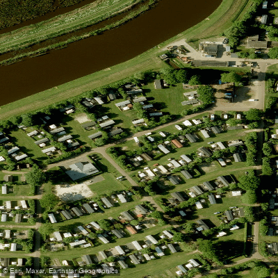
Access to the Drentsche Diep from the north is via the Winschoterdiep, departing at approximately canal kilometre 6. At the southern end, the waterway opens into the Zuidlaardermeer. On the port (eastern) side approaching the lake, the Meerwijck camping site and marina offer facilities including berths for vessels up to 7 metres in length, a restaurant, and a supermarket. The Allround Watersport Meerwijck marina on the north-eastern shore of the Zuidlaardermeer provides additional well-equipped mooring facilities.
The Drentsche Diep is also noted as a fishing location, with Northern pike and European perch among the species present in the water. The broader Zuidlaardermeer, into which the Drentsche Diep flows, also supports zander. Paddlers planning a route along this waterway can combine it with time on the Zuidlaardermeer itself, which lies immediately to the south and is a natural inland lake of some size.
Water access, boat ramps & amenities
Learn how to get on Drentsche Diep. Uncover great paddling access points, boat ramps, and all the facilities you need for an unforgettable day on the water. Some locations shown may border or include private property. Always check property boundaries and applicable regulations before visiting. PaddleWays's Public & Private Land layer can help you plan your access with confidence.
Paddle smarter with real-time insights
Whether you're en route and conditions shift or you're looking for the best spot based on current flows, we enable you to make informed decisions on the fly.







Groningen licenses and regulations
No licenses or regulations available for Groningen.
Find Places to Paddle

Over 400,000 Places to Paddle
Every user gets free access to launch points, boat ramps, and public property parcels.


Water and weather conditions (10 day forecast)
See the best times to paddle Drentsche Diep and check the forecast before you go.
No forecast data available.
Paddling near Drentsche Diep
Hunze
A.G. Wildervanckkanaal
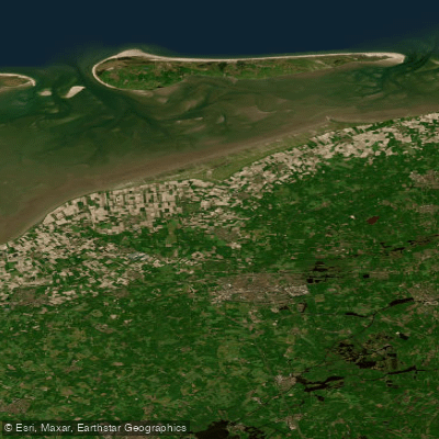
Waddenzee vastelandskust
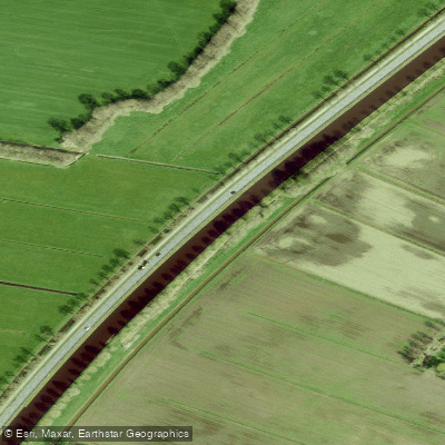
Drentsche Hoofdvaart
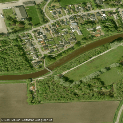
Afwateringskanaal van Duurswold
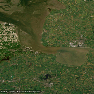
Eems-Dollard
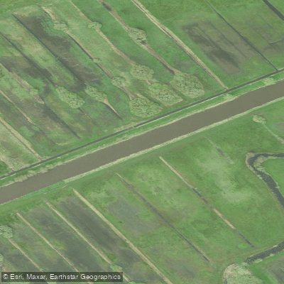
Kuinder of Tjonger
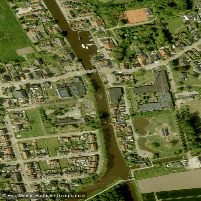
Termunterzijldiep
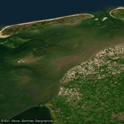
Waddenzee
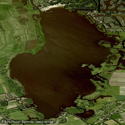
Zuidlaardermeer
Explore Groningen waters
Top paddling waters
No waters available right now.
Popular Cities
Loading popular cities...
Explore near Drentsche Diep

Smarter Paddling Starts in the App.
Paddleways gives you everything you need to plan smarter, paddle better, and own every trip from first launch to takeout.