Dommel
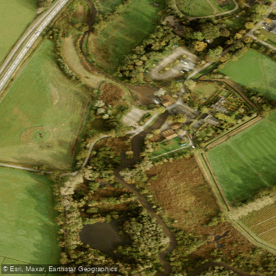
Dommel
- Boat Ramps
- 0
- Access Points
- 3
- Campsites
- 2
The Dommel is a lowland stream that originates in the Belgian province of Limburg near the municipality of Peer, with its first 20 kilometres running through Belgium before crossing into the Netherlands at the town of Brokel en Schaft. The remaining 126 kilometres flow through North Brabant, where the river gradually widens as it collects water from tributary streams in the Dommeldal (Dommel Valley). The river ultimately joins the Aa in 's-Hertogenbosch to form the Dieze, which flows into the Meuse.
The character of the Dommel is defined by constant meandering through forests and meadows. The current is light but the continuous bends demand steady attention from paddlers. The river is sometimes narrow, and the elevated banks along the upper sections provide habitat for kingfishers, which are frequently spotted. Swans, frogs, beavers, and cows are also commonly encountered. Aquatic vegetation including water violets and yellow marigolds appears in cleaner stretches. Beaver activity is visible along the banks, particularly in the middle sections of the river.
A well-established route runs from Neerpelt in Belgium to Valkenswaard in the Netherlands, covering approximately 15 to 16 kilometres. This cross-border trip passes through two nature reserves, 't Hageven and De Malpie. Along the way, paddlers can stop at restaurant De Zwaan after roughly 9 kilometres. The trip ends near the Venbergse Watermolen, close to 't Boothuys in Valkenswaard, which serves as a reception facility offering free parking, changing rooms, and showers. Canoe rental operators in the area offer single kayaks and open Canadian canoes suitable for two adults and one or two small children over age three, with a maximum combined weight of around 180 kilograms.
The river falls within the area managed by Waterschap De Dommel, which covers the Tilburg and Eindhoven region. Paddling is generally permitted throughout the waterschap's waterways, though some specific locations carry restrictions. An interactive map is available from the waterschap detailing permissions and prohibited zones. The river has historical significance dating to Roman times, when it was known as Dutmala, and several water mills and fish ponds remain along its course as remnants of medieval agricultural use. Fish species present include northern pike, common carp, European perch, and asp.
Water access, boat ramps & amenities
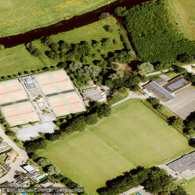
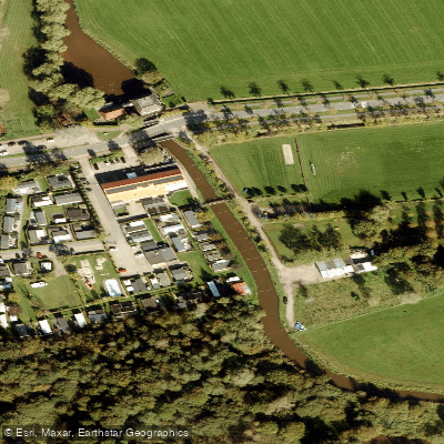
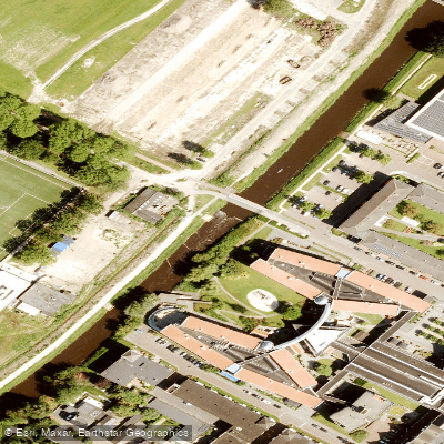
Learn how to get on Dommel. Uncover great paddling access points, boat ramps, and all the facilities you need for an unforgettable day on the water. Some locations shown may border or include private property. Always check property boundaries and applicable regulations before visiting. PaddleWays's Public & Private Land layer can help you plan your access with confidence.
Paddle smarter with real-time insights
Whether you're en route and conditions shift or you're looking for the best spot based on current flows, we enable you to make informed decisions on the fly.







North Brabant licenses and regulations
No licenses or regulations available for North Brabant.
Find Places to Paddle

Over 400,000 Places to Paddle
Every user gets free access to launch points, boat ramps, and public property parcels.


Water and weather conditions (10 day forecast)
See the best times to paddle Dommel and check the forecast before you go.
Sint-Michielsgestel, Dommel
Paddling near Dommel
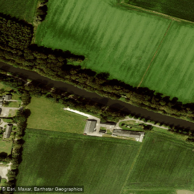
Wilhelminakanaal
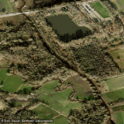
Kleine Dommel
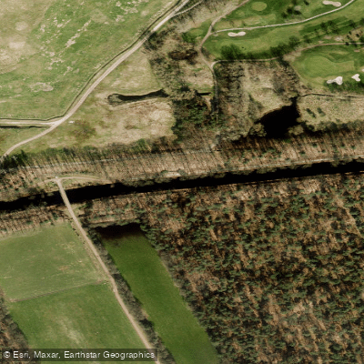
Eindhovensch Kanaal
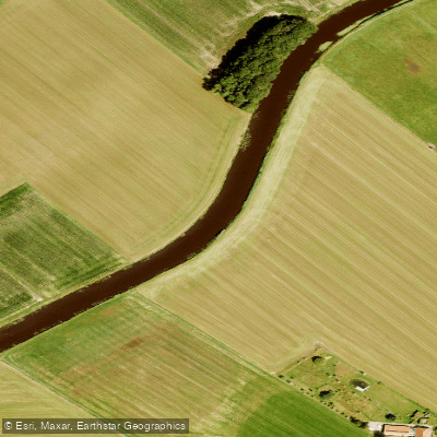
Essche Stroom
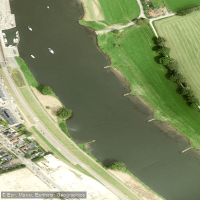
Maas
Waal
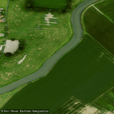
Linge
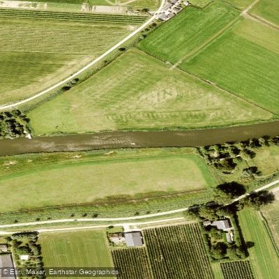
Linge
Afgedamde Maas
Explore North Brabant waters
Top paddling waters
No waters available right now.
Popular Cities
Loading popular cities...
Explore near Dommel
Nearby waters
More in North Brabant

Smarter Paddling Starts in the App.
Paddleways gives you everything you need to plan smarter, paddle better, and own every trip from first launch to takeout.