Wilhelminakanaal
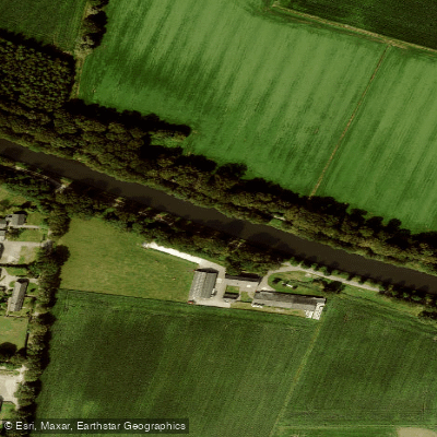
Wilhelminakanaal
- Boat Ramps
- 0
- Access Points
- 7
- Campsites
- 0
The Wilhelminakanaal is a 68-kilometer canal in North Brabant, running from the Zuid-Willemsvaart near Laarbeek westward to the Amer (a branch of the Meuse) just west of Geertruidenberg. Completed in 1923, it passes through Tilburg and serves as an active commercial shipping route connecting the interior of North Brabant to the broader Dutch waterway network.
Paddlers should be aware that this is a working commercial canal carrying significant freight traffic. The western section, from Geertruidenberg south to Lock I in Oosterhout, accommodates vessels up to 135 meters in length (CEMT class Va), while the section from Lock I to Lock II at the western edge of Tilburg handles CEMT class IV vessels up to 90 meters. The presence of large commercial ships is the primary safety consideration for anyone paddling on this waterway, and appropriate caution around vessel traffic and lock operations is essential.
Several locks are located along the canal's length, which paddlers would need to navigate. A cycling path runs alongside portions of the canal, indicating some recreational infrastructure in the corridor. The canal passes through or near Son en Breugel among other communities in North Brabant. The waterway supports populations of northern pike, zander, and European perch, suggesting reasonably productive aquatic habitat. Nearby water bodies include the Markkanaal and the Zuider Afwateringkanaal.
Water access, boat ramps & amenities
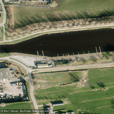
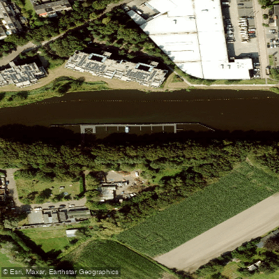
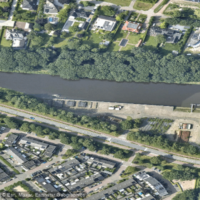
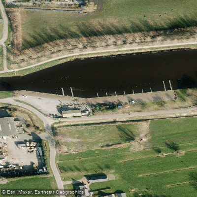
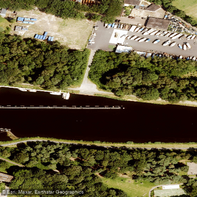
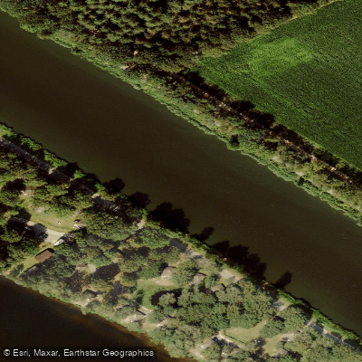
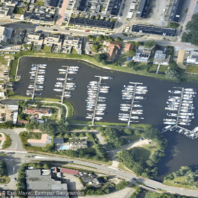
Learn how to get on Wilhelminakanaal. Uncover great paddling access points, boat ramps, and all the facilities you need for an unforgettable day on the water. Some locations shown may border or include private property. Always check property boundaries and applicable regulations before visiting. PaddleWays's Public & Private Land layer can help you plan your access with confidence.
Paddle smarter with real-time insights
Whether you're en route and conditions shift or you're looking for the best spot based on current flows, we enable you to make informed decisions on the fly.







North Brabant licenses and regulations
No licenses or regulations available for North Brabant.
Find Places to Paddle

Over 400,000 Places to Paddle
Every user gets free access to launch points, boat ramps, and public property parcels.


Water and weather conditions (10 day forecast)
See the best times to paddle Wilhelminakanaal and check the forecast before you go.
Aarle-Rixtel, Goorloop, Wilhelminakanaal
All Flow Stations
Paddling near Wilhelminakanaal
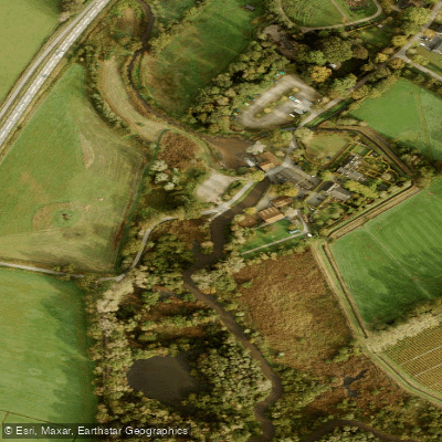
Dommel
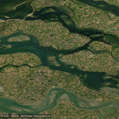
Oosterschelde
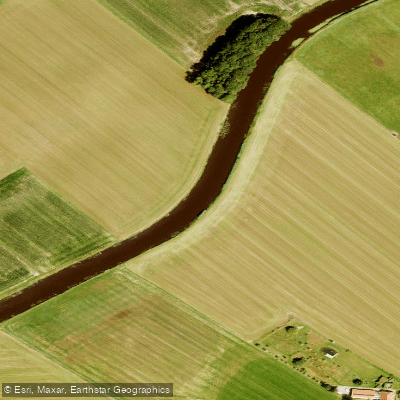
Essche Stroom
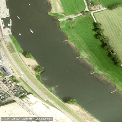
Maas
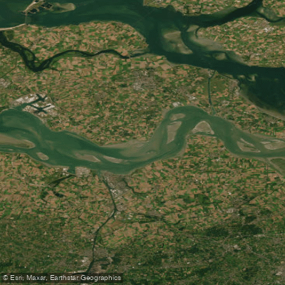
Westerschelde
Waal
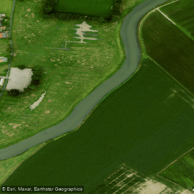
Linge
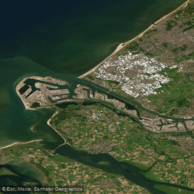
Nieuwe Waterweg
Linge
Explore North Brabant waters
Top paddling waters
No waters available right now.
Popular Cities
Loading popular cities...
Explore near Wilhelminakanaal

Smarter Paddling Starts in the App.
Paddleways gives you everything you need to plan smarter, paddle better, and own every trip from first launch to takeout.