Essche Stroom
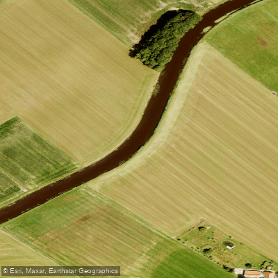
Essche Stroom
- Boat Ramps
- 0
- Access Points
- 0
- Campsites
- 0
The Esschestroom (also written Essche Stroom) is a small river of approximately 7 km in length, originating near Oisterwijk in North Brabant and flowing into the Dommel near 's-Hertogenbosch. The paddleable section runs from the village of Halder, where the river joins a popular route toward Den Bosch along the Dommel.
The most notable paddling stretch on the Esschestroom itself is about 3.7 km, ending at a weir that marks the upstream limit of navigation. This section passes through a restored natural reserve created as part of the Halsche Beemden project, completed in 2014, which reinstated roughly three kilometers of meanders between the A2 highway and the Boxtel–'s-Hertogenbosch railway line. The restoration returned the river to something close to its original winding course, resulting in numerous bends and a varied riparian landscape.
The project also created ponds to support amphibian life, and the area quickly attracted diverse plant, fish, and wildlife populations. The canalized channel was retained alongside the new meanders to handle excess water storage and emergency flooding.
The kayak pier for this section is located in Halder, with GPS coordinates N 51.6495, E 5.3253. There is no kayak pier at the Esschestroom itself; the nearest launch point is approximately 400 meters from the recommended parking area. Groups should note that parking at the Halder pier is limited, and larger groups are directed to park along the Vughterweg, about 400 meters away. There are no moorings along the Esschestroom section.
Current is generally light, though conditions can change significantly after periods of heavy rainfall, which paddlers should factor into trip planning. The Esschestroom is commonly paddled as part of a longer route that continues on the Dommel toward Den Bosch; a GPS track covering approximately 25 km is available that includes a trip on the Esschestroom combined with the Dommel and the canals around Den Bosch. The weir at the end of the navigable section has a portage point shared with members of a local rowing club.
The river was heavily canalized in 1965 and historically suffered from industrial pollution, earning the nickname "Dirty Stream." The restoration work of the early 21st century has substantially improved the ecological character of the area.
Water access, boat ramps & amenities
Learn how to get on Essche Stroom. Uncover great paddling access points, boat ramps, and all the facilities you need for an unforgettable day on the water. Some locations shown may border or include private property. Always check property boundaries and applicable regulations before visiting. PaddleWays's Public & Private Land layer can help you plan your access with confidence.
Paddle smarter with real-time insights
Whether you're en route and conditions shift or you're looking for the best spot based on current flows, we enable you to make informed decisions on the fly.







North Brabant licenses and regulations
No licenses or regulations available for North Brabant.
Find Places to Paddle

Over 400,000 Places to Paddle
Every user gets free access to launch points, boat ramps, and public property parcels.


Water and weather conditions (10 day forecast)
See the best times to paddle Essche Stroom and check the forecast before you go.
No forecast data available.
Paddling near Essche Stroom
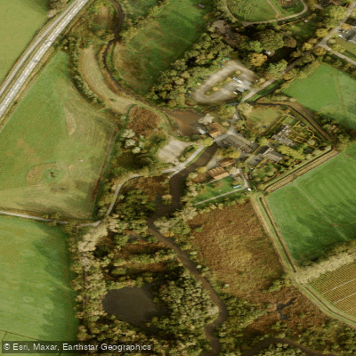
Dommel
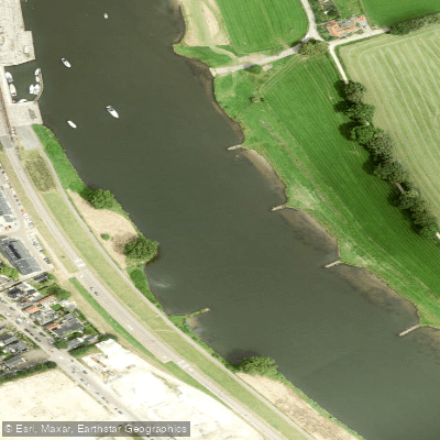
Maas
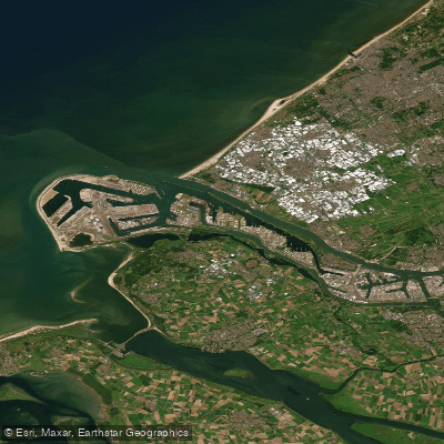
Nieuwe Waterweg
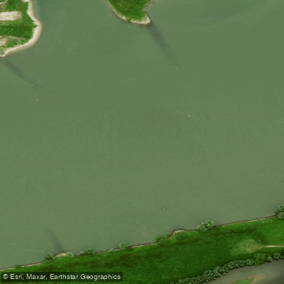
Waal
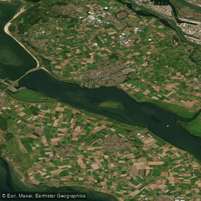
Haringvliet-west
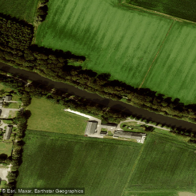
Wilhelminakanaal
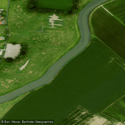
Linge
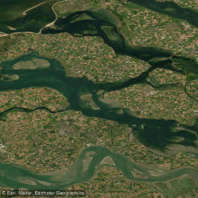
Oosterschelde
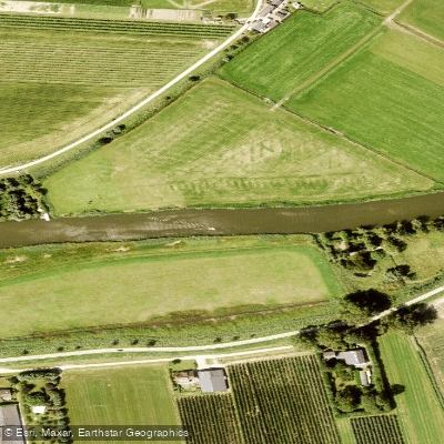
Linge
Explore North Brabant waters
Top paddling waters
No waters available right now.
Popular Cities
Loading popular cities...
Explore near Essche Stroom
More in North Brabant

Smarter Paddling Starts in the App.
Paddleways gives you everything you need to plan smarter, paddle better, and own every trip from first launch to takeout.