Hollandsch Diep
Hollandsch Diep
- Boat Ramps
- 0
- Access Points
- 0
- Campsites
- 0
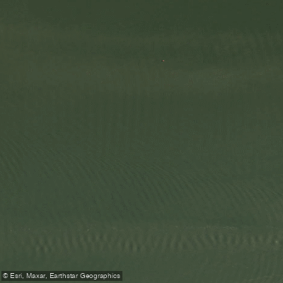
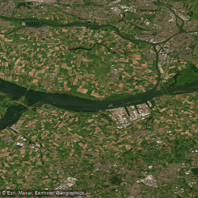
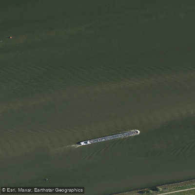
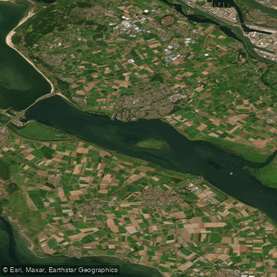
The Hollands Diep (historically spelled Hollandsch Diep) is a large, open waterway in the southwestern Netherlands, functioning as an estuary of the Rhine and Meuse rivers. It was formed through a series of historic floods, most notably the St. Elizabeth's flood of 1421, which connected an earlier saltwater inlet to the Merwede and established the water body as a major estuarine channel. The Bergse Maas and Nieuwe Merwede rivers join near Lage Zwaluwe to form the Hollands Diep, which then splits near Numansdorp into the Haringvliet and the Volkerak. The Dordtsche Kil connects to it near Moerdijk, and through the Scheldt–Rhine Canal it links to the Scheldt river and Antwerp.
The water body is characterized by deep channels, hard edges, shell beds, and broad plateaus, giving it a distinctly open and dynamic character. It is a large, working waterway with significant infrastructure: the Moerdijk bridges cross the eastern end, carrying road and rail traffic, and the Hellegatsplein road junction sits on an artificial island at the western split. Paddlers should be aware that commercial vessel traffic is present on this water, and conditions can be demanding given the scale and exposure of the estuary.
On warm summer days, the Hollands Diep sees recreational use including canoeing, boating, wakeboarding, and swimming, suggesting it is accessible for paddlers during the summer months. The town of Willemstad, situated along the water, has a boat ramp with free parking, which serves as one practical access point for those arriving by water.
The Hollands Diep holds Ramsar Wetland designation, awarded in August 2000, reflecting its ecological significance. It is recognized as one of the more reliable waters in the region for predator fish species such as zander, pike, and perch, which points to a healthy aquatic ecosystem with varied bottom structure. Anglers fishing the water require a valid VISpas (Dutch fishing permit), and visitors should familiarize themselves with local regulations and any closed zones before launching. Paddlers planning a trip should account for the water's tidal influences, its size and exposure to wind, and the presence of commercial and recreational boat traffic throughout the navigable channels.
Water access, boat ramps & amenities
Learn how to get on Hollandsch Diep. Uncover great paddling access points, boat ramps, and all the facilities you need for an unforgettable day on the water. Some locations shown may border or include private property. Always check property boundaries and applicable regulations before visiting. PaddleWays's Public & Private Land layer can help you plan your access with confidence.
Paddle smarter with real-time insights
Whether you're en route and conditions shift or you're looking for the best spot based on current flows, we enable you to make informed decisions on the fly.







North Brabant licenses and regulations
No licenses or regulations available for North Brabant.
Find Places to Paddle

Over 400,000 Places to Paddle
Every user gets free access to launch points, boat ramps, and public property parcels.


Water and weather conditions (10 day forecast)
See the best times to paddle Hollandsch Diep and check the forecast before you go.
Bovensluis
Paddling near Hollandsch Diep
Nieuwe Maas
Hollandsch Diep
Nieuwe Waterweg
Hollandsch Diep
Nieuwe Merwede
Haringvliet-west
Nieuwe Merwede
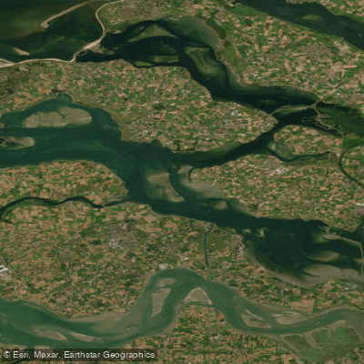
Oosterschelde
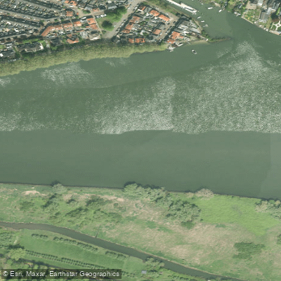
Beneden-Merwede
Explore North Brabant waters
Top paddling waters
No waters available right now.
Popular Cities
Loading popular cities...
Explore near Hollandsch Diep

Smarter Paddling Starts in the App.
Paddleways gives you everything you need to plan smarter, paddle better, and own every trip from first launch to takeout.