Nieuwe Merwede
Nieuwe Merwede
- Boat Ramps
- 0
- Access Points
- 1
- Campsites
- 0
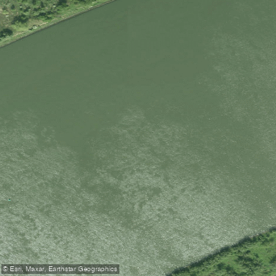
The Nieuwe Merwede is a major Dutch river approximately 21 kilometres in length, running through the delta region between the provinces of South Holland and North Brabant. It forms the northern boundary of the Biesbosch National Park — the largest freshwater tidal area in Europe — with the river Amer forming the park's southern edge. At its eastern end the Nieuwe Merwede connects with the Boven Merwede and Waal, while at its western end it flows into the Hollandsdiep, where it also meets the Amer. The river is a working waterway used by commercial shipping, which paddlers should factor into their planning.
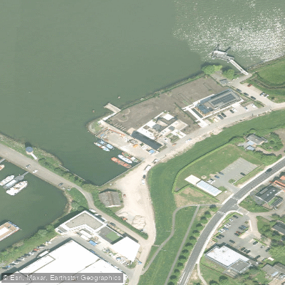
One practical launch point for exploring the adjacent Biesbosch waterways is near Werkendam, accessible from highway A27 exit 23. From there, following the road toward Dordrecht leads to the Steurgat, where a bridge provides a kayak launch site. Water levels can affect ease of entry at this spot. The Nieuwe Merwede itself has very few crossings along its length — no bridges or tunnels span most of it — making the ferry between Kop van 't Land and Werkendam one of the only connections across the river. This ferry links the Sliedrechtse Biesbosch on the South Holland side with the Brabantse Biesbosch in North Brabant.
Paddlers should be aware of tidal influences, depth fluctuations, and strong currents in this area. The Biesbosch experiences a small tidal range of roughly 30 centimetres under normal conditions, though this can vary significantly during storms or periods of high river discharge. In February 2020, the Noordwaard Polder — a restored area adjacent to the Nieuwe Merwede — flooded for the first time after restoration work completed in 2019, demonstrating that high water events can substantially alter the landscape and navigable areas.
The surrounding Biesbosch landscape consists of willow forests, wetlands, and a network of creeks and waterways. Wildlife is a notable feature of the area, including diverse bird species and beavers. Spring and autumn are generally considered good periods for wildlife observation, particularly migratory birds, while summer offers longer days for extended paddling. The overall character of the Nieuwe Merwede corridor is that of a broad, open river delta environment, with the wilder creek systems of the Biesbosch accessible as side routes for those seeking a more sheltered paddling experience.
Water access, boat ramps & amenities
Learn how to get on Nieuwe Merwede. Uncover great paddling access points, boat ramps, and all the facilities you need for an unforgettable day on the water. Some locations shown may border or include private property. Always check property boundaries and applicable regulations before visiting. PaddleWays's Public & Private Land layer can help you plan your access with confidence.
Paddle smarter with real-time insights
Whether you're en route and conditions shift or you're looking for the best spot based on current flows, we enable you to make informed decisions on the fly.







North Brabant licenses and regulations
No licenses or regulations available for North Brabant.
Find Places to Paddle

Over 400,000 Places to Paddle
Every user gets free access to launch points, boat ramps, and public property parcels.


Water and weather conditions (10 day forecast)
See the best times to paddle Nieuwe Merwede and check the forecast before you go.
No forecast data available.
Paddling near Nieuwe Merwede
Nieuwe Maas
Hollandsch Diep
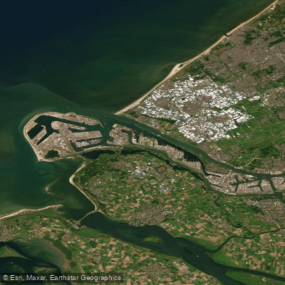
Nieuwe Waterweg
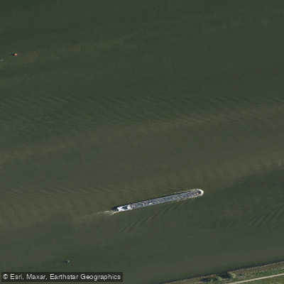
Hollandsch Diep
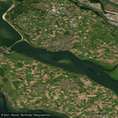
Haringvliet-west
Hollandsch Diep
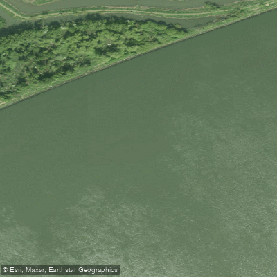
Nieuwe Merwede
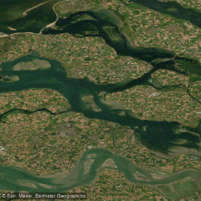
Oosterschelde
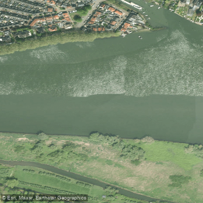
Beneden-Merwede
Explore North Brabant waters
Top paddling waters
No waters available right now.
Popular Cities
Loading popular cities...
Explore near Nieuwe Merwede
Access points
Nearby waters
More in North Brabant

Smarter Paddling Starts in the App.
Paddleways gives you everything you need to plan smarter, paddle better, and own every trip from first launch to takeout.