Nieuwe Waterweg
- Saltwater
- Estuary
Nieuwe Waterweg
- Saltwater
- Estuary
- Sq. miles
- 22
- Boat Ramps
- 0
- Access Points
- 6
- Campsites
- 1
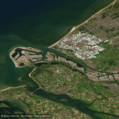
The Nieuwe Waterweg is a major estuary and the primary shipping channel connecting the Port of Rotterdam to the North Sea. It is a wide, open waterway characterized by significant commercial maritime traffic, the busiest shipping route in the Netherlands. This creates a primary hazard for paddlers, as the channel is frequented by large vessels including tankers and tugs. Paddlers must exercise extreme caution and will need to navigate busy harbors and locks to access the water, such as via the Buitenhaven in Vlaardingen. The water body has historical significance, including events from World War II, such as the sinking of a vessel by a magnetic mine in 1940. The Nieuwe Waterweg plays a crucial hydrological role as it provides the open connection to the sea that allows for the unique freshwater tidal system in the National Park De Biesbosch, located inland. The estuary itself experiences the influence of the North Sea's tides. For paddlers, key access points and facilities are associated with local water sports clubs (watersportverenigingen). These include W.S.V. De Nieuwe Waterweg in Schiedam, which offers moorings, a pier, and a clubhouse and is a first port of passage from the sea. Other nearby clubs providing potential access or services are W.S.V. De Schie on the outskirts of Schiedam and W.S.V. De Vijfsluizen located at the beginning of the Brielse Meer. Given its function as a major commercial shipping lane, the overall paddling experience on the Nieuwe Waterweg itself is one of navigating a heavily trafficked, industrial marine environment with significant exposure to wind and waves, rather than a recreational wilderness paddle.
Water access, boat ramps & amenities
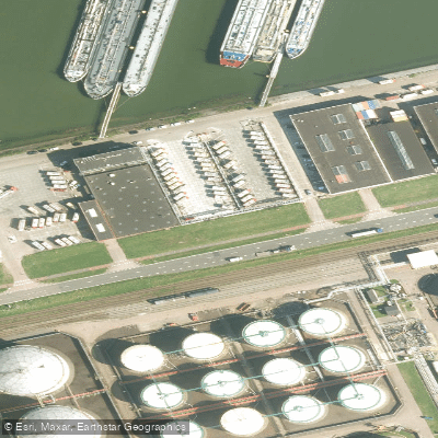
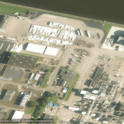
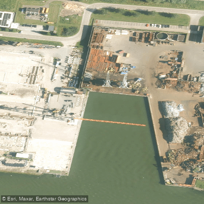
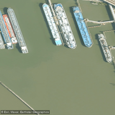
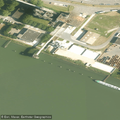
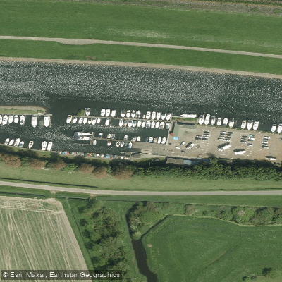
Learn how to get on Nieuwe Waterweg. Uncover great paddling access points, boat ramps, and all the facilities you need for an unforgettable day on the water. Some locations shown may border or include private property. Always check property boundaries and applicable regulations before visiting. PaddleWays's Public & Private Land layer can help you plan your access with confidence.
Paddle smarter with real-time insights
Whether you're en route and conditions shift or you're looking for the best spot based on current flows, we enable you to make informed decisions on the fly.







South Holland licenses and regulations
No licenses or regulations available for South Holland.
Find Places to Paddle

Over 400,000 Places to Paddle
Every user gets free access to launch points, boat ramps, and public property parcels.


Tides, wind & water conditions (10 day forecast)
On open water, wind and tide matter as much as the weather. See the best times to paddle Nieuwe Waterweg and check the marine forecast before you launch.
Loading tide predictions…
Paddling near Nieuwe Waterweg
Nieuwe Maas
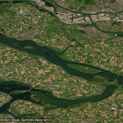
Haringvliet
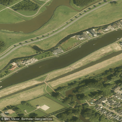
Rotte
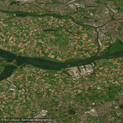
Hollandsch Diep
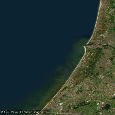
Hollandse kust (kustwater)
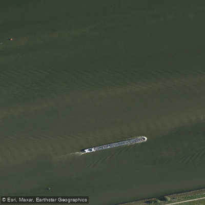
Hollandsch Diep
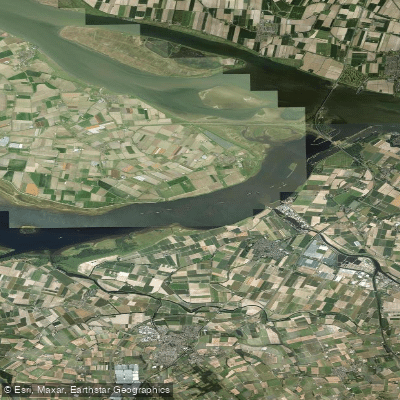
Volkerak
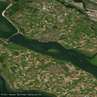
Haringvliet-west
Hollandsch Diep
Explore South Holland waters
Top paddling waters
No waters available right now.
Popular Cities
Loading popular cities...
Explore near Nieuwe Waterweg

Smarter Paddling Starts in the App.
Paddleways gives you everything you need to plan smarter, paddle better, and own every trip from first launch to takeout.