Amstel
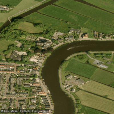
Amstel
- Boat Ramps
- 0
- Access Points
- 3
- Campsites
- 1
The Amstel is a river with origins over 900 years ago, formed when a freshwater river cut into a tidal channel of the IJ. It flows through Amsterdam and connects to the broader canal network of the city, eventually feeding into the IJsselmeer. The river is relatively wide in places, with no significant current, making it accessible to paddlers of all skill levels.
A practical launch point is near the Utrechtse Brug on the southern edge of Amsterdam, where free parking is available and getting a kayak or SUP into the water is straightforward. From there, paddlers can head north toward the city center along the river before transitioning into the canal network. The distance from this launch point to the start of the main canal circuit is approximately 3.5 km. Once in the canals, careful maneuvering is required, particularly at bridge crossings — regulations require keeping to the right, and paddlers should never pass under a bridge when a motorized vessel is approaching from the other side.
Weekend and sunny days bring considerable boat traffic on the Amstel, which can make conditions choppier and require more attentiveness. Mornings tend to offer calmer water and fewer vessels. Kayak rentals near the Amstel operate roughly from April through October, typically from 9 a.m. to 7 p.m. SUP rentals and lessons are available year-round from providers operating near the river and the Oosterdok area, with rental prices starting around €20 per hour and lessons from €30.
Along the river, paddlers pass notable landmarks including the Magere Brug (a historic drawbridge), the former Hermitage Museum building at Amstel 51, and a Jewish Monument commemorating the Jewish Resistance during World War II. The quaysides are generally high, which is worth noting in the event of a capsize. The water is considered polluted, so immersion should be avoided. Bringing a dry bag for valuables and wearing water-resistant footwear is advisable. Some rental operators provide waterproof maps indicating recommended routes and areas to avoid, particularly busy shipping lanes.
The Amstel is at its most festive around King's Day on 27 April, when the river fills with decorated boats and large crowds gather along the banks, making paddling conditions significantly more congested on that date.
Water access, boat ramps & amenities
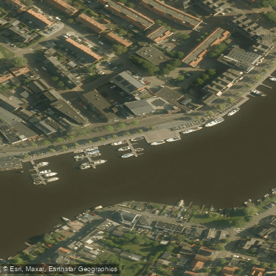
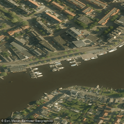
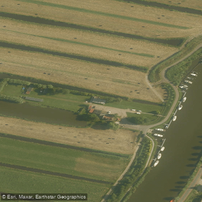
Learn how to get on Amstel. Uncover great paddling access points, boat ramps, and all the facilities you need for an unforgettable day on the water. Some locations shown may border or include private property. Always check property boundaries and applicable regulations before visiting. PaddleWays's Public & Private Land layer can help you plan your access with confidence.
Paddle smarter with real-time insights
Whether you're en route and conditions shift or you're looking for the best spot based on current flows, we enable you to make informed decisions on the fly.







North Holland licenses and regulations
No licenses or regulations available for North Holland.
Find Places to Paddle

Over 400,000 Places to Paddle
Every user gets free access to launch points, boat ramps, and public property parcels.


Water and weather conditions (10 day forecast)
See the best times to paddle Amstel and check the forecast before you go.
No forecast data available.
Paddling near Amstel
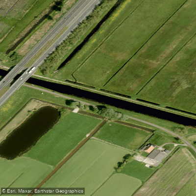
Nieuwe Vaart
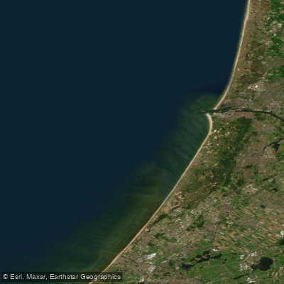
Hollandse kust (kustwater)
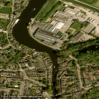
Vecht
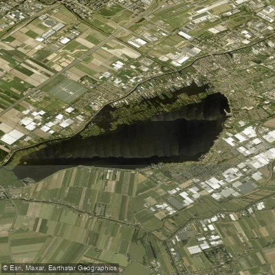
Westeinderplassen
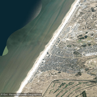
Strand Zandvoort
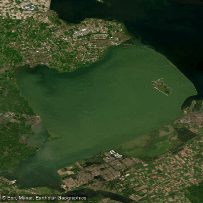
Markermeer
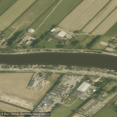
Oude Rijn
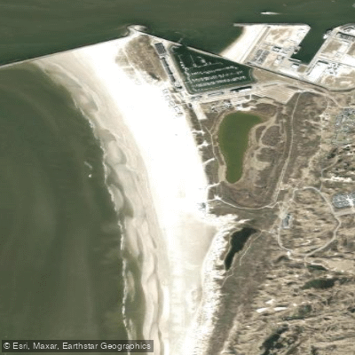
Kennemerstrand
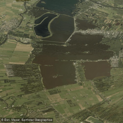
Loosdrechtse Plassen
Explore North Holland waters
Top paddling waters
No waters available right now.
Popular Cities
Loading popular cities...
Explore near Amstel

Smarter Paddling Starts in the App.
Paddleways gives you everything you need to plan smarter, paddle better, and own every trip from first launch to takeout.