Markermeer
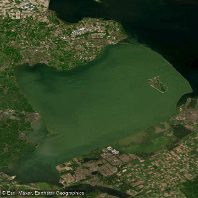
Markermeer
- Boat Ramps
- 0
- Access Points
- 33
- Campsites
- 8
The Markermeer is a large artificial lake in the Netherlands, covering over 700 square kilometers, situated south of the Houtribdijk — the dike built in 1976 between Lelystad and Enkhuizen that divided the former IJsselmeer into two separate bodies of water. The lake is named after the former island of Marken, now a peninsula accessible by water or dike. The original plan to drain the Markermeer and convert it to agricultural land was ultimately abandoned, leaving it as a water recreation area with significant ecological functions.
For paddlers, the lake is well-suited to kayaking and canoeing. In calm conditions, even small boats can navigate without particular difficulty, though conditions can become rough in bad weather. The lake is notably less crowded with boat traffic than many comparable destinations, which gives paddlers more room to move freely. From the Markermeer, it is possible to connect to the IJmeer and IJsselmeer, extending the range of possible routes considerably.
The Marker Wadden, a group of artificial islands in the northeastern corner of the lake roughly four kilometers from the Houtribdijk near Enkhuizen, are a major point of interest for paddlers. Constructed from 2016 onward by Natuurmonumenten, the islands form a nature reserve of reed marshes, mudflats, and shallow waters. The harbor island has a boat landing stage, making it accessible by kayak. The crossing from Lelystad takes just over an hour by boat. Some of the islands are reserved exclusively for wildlife and are not open to visitors.
The Markermeer is a Natura 2000 site and supports a wide range of bird species. It serves as breeding habitat for common tern and cormorant, and as feeding and resting grounds for barnacle goose, common goldeneye, little gull, great crested grebe, tufted duck, common spoonbill, smew, northern shoveller, and black tern, among others. Tundra swan, black-headed gull, and common shelduck use the lake for moulting, resting, and overwintering.
The lake suffers from poor water quality due to limited connectivity with other rivers and lakes, resulting in high concentrations of sediment including sand, clay, and silt, and a stagnant aquatic environment. The surrounding shoreline includes several historic harbor towns and fishing villages, with Enkhuizen and Marken among the notable stops accessible by water.
Water access, boat ramps & amenities
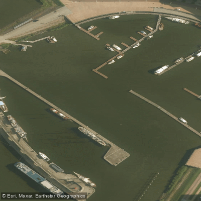
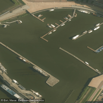
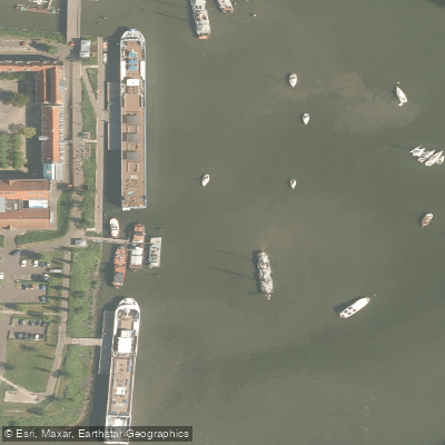
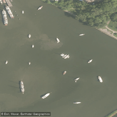
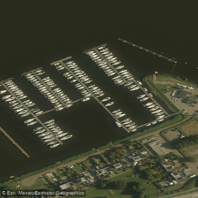
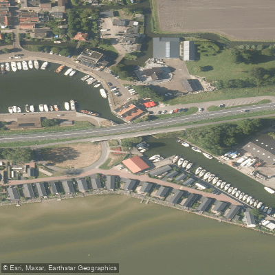
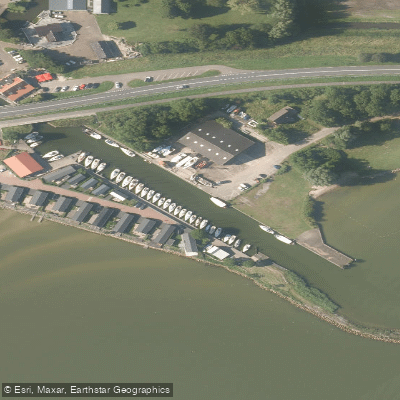
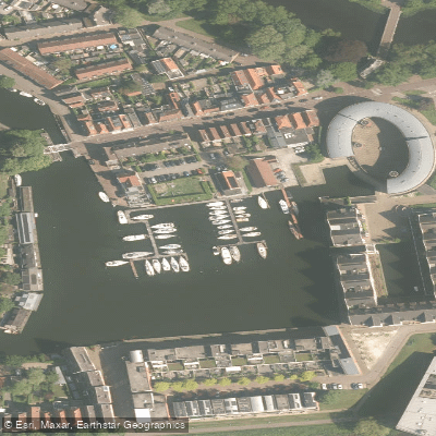
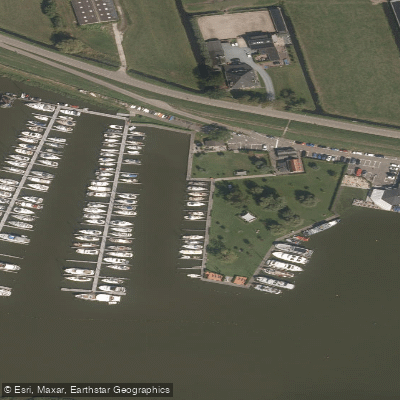
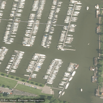
Learn how to get on Markermeer. Uncover great paddling access points, boat ramps, and all the facilities you need for an unforgettable day on the water. Some locations shown may border or include private property. Always check property boundaries and applicable regulations before visiting. PaddleWays's Public & Private Land layer can help you plan your access with confidence.
Paddle smarter with real-time insights
Whether you're en route and conditions shift or you're looking for the best spot based on current flows, we enable you to make informed decisions on the fly.







Flevoland licenses and regulations
No licenses or regulations available for Flevoland.
Find Places to Paddle

Over 400,000 Places to Paddle
Every user gets free access to launch points, boat ramps, and public property parcels.


Water and weather conditions (10 day forecast)
See the best times to paddle Markermeer and check the forecast before you go.
Krabbersgat, Ijsselmeer
Paddling near Markermeer
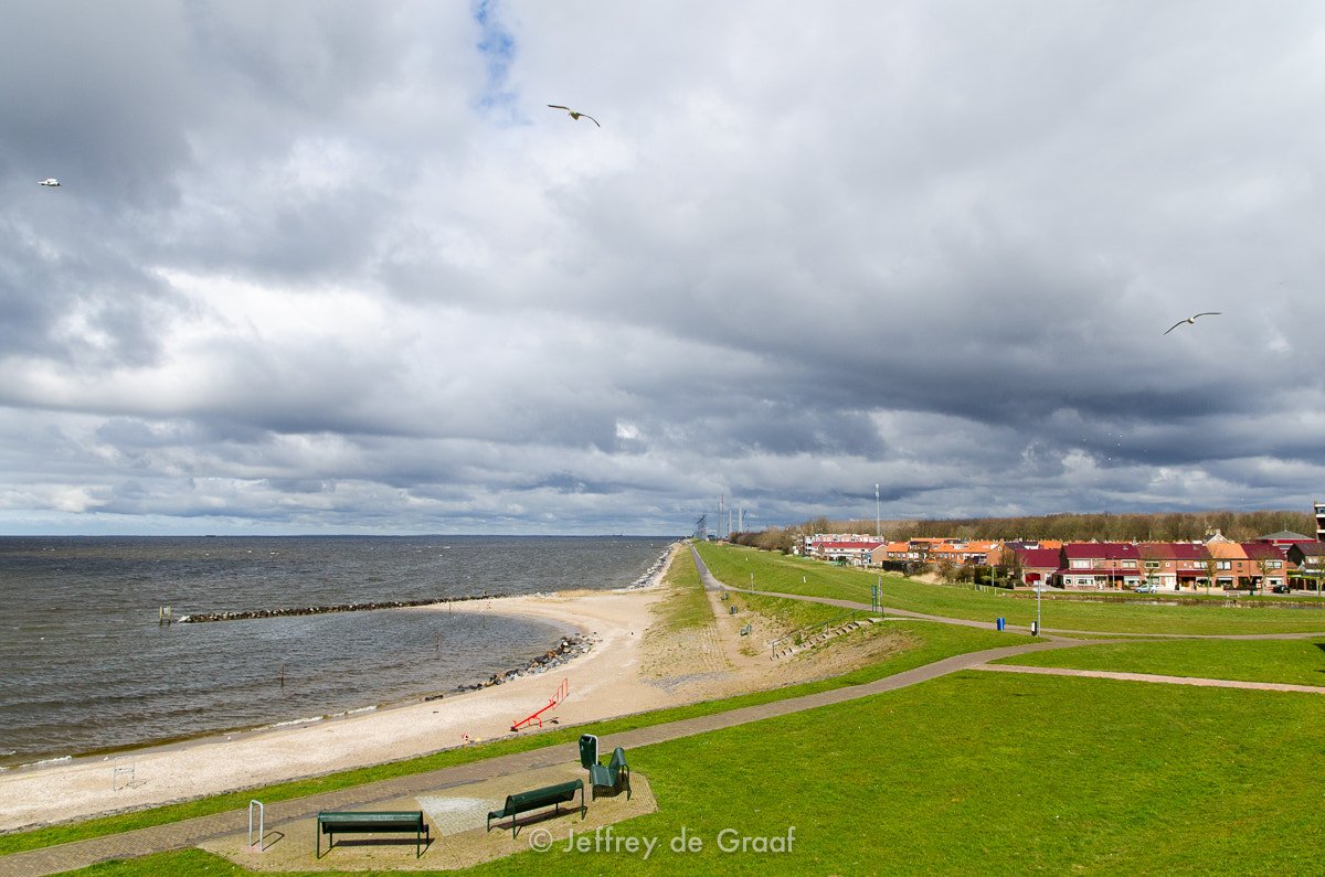
IJsselmeer
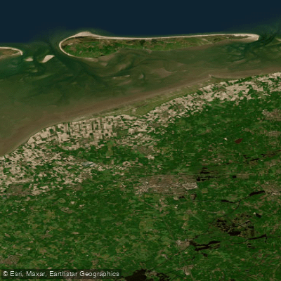
Waddenzee vastelandskust
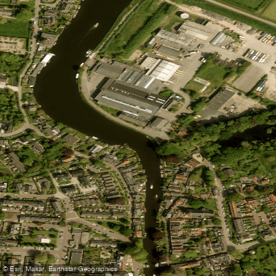
Vecht
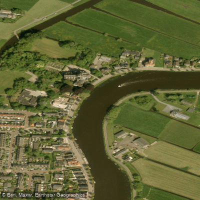
Amstel
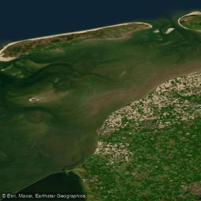
Waddenzee
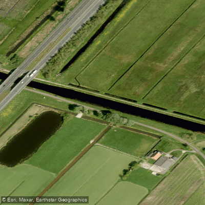
Nieuwe Vaart
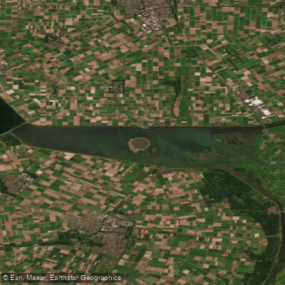
Ketelmeer
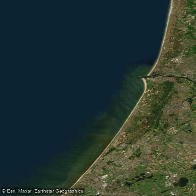
Hollandse kust (kustwater)
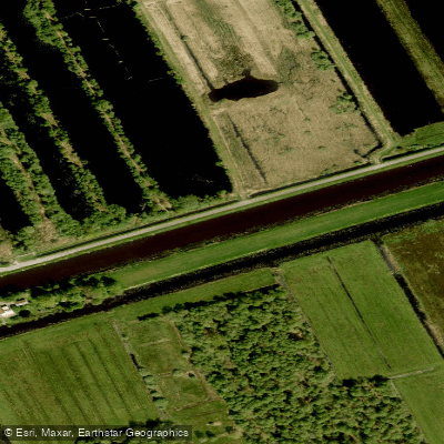
Ringvaart
Explore Flevoland waters
Top paddling waters
No waters available right now.
Popular Cities
Loading popular cities...
Explore near Markermeer
Access points
Nearby waters
More in Flevoland

Smarter Paddling Starts in the App.
Paddleways gives you everything you need to plan smarter, paddle better, and own every trip from first launch to takeout.