Ringvaart
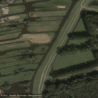
Ringvaart
- Boat Ramps
- 1
- Access Points
- 0
- Campsites
- 0
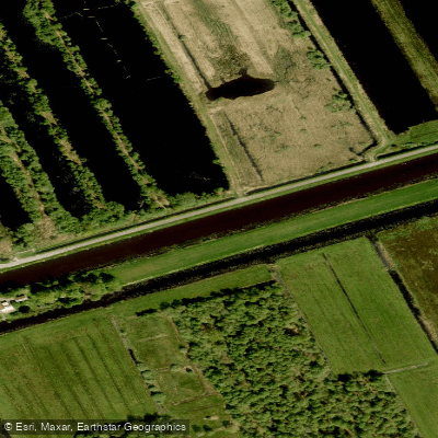
The Ringvaart, formally known as the Ringvaart of the Haarlemmermeer Polder, is a circular canal in the province of North Holland. True to its name — "ring canal" in Dutch — it forms a complete loop around the Haarlemmermeer polder, tracing the boundary of the Haarlemmermeer municipality. The canal stretches 61 kilometres in total length and reaches a depth of 2.4 metres, enclosing an area of more than 180 square kilometres.
Construction began in 1839, when thousands of laborers dug the canal through existing land, following as closely as possible the contour of the former Haarlemmermeer lake. At three locations — Vijfhuizen, Lisserbroek, and Huigsloot — the canal was cut through peninsulas, which subsequently became part of the Haarlemmermeer polder. The canal was completed in 1845 and used to drain the lake, a major feat of Dutch water engineering. The canal and the surrounding polder are recognized as a UNESCO World Heritage Site.
The Ringvaart carries both commercial and recreational boat traffic, so paddlers should be prepared to share the water with larger vessels. A portion of the canal forms part of a designated sail route connecting Hollands Diep to the IJsselmeer, and this section is navigable for ships with masts exceeding 6 metres in height, indicating meaningful vessel traffic on at least part of the route.
One notable feature along the canal is a aqueduct near Roelofarendsveen, where the Ringvaart passes beneath the A4 motorway. Built in 1961, it is the oldest aqueduct in the Netherlands. A newer, expanded aqueduct completed in 2006 extends 1.8 kilometres and also accommodates the HSL-Zuid high-speed railway crossing, making this stretch a structurally distinctive section of the route.
The canal's circular geometry makes it well suited to multi-day circumnavigation trips, with the full 61-kilometre loop offering a consistent, low-gradient waterway through the flat Dutch polder landscape. Fishing reports indicate the presence of European perch, northern pike, and zander in the canal.
Water access, boat ramps & amenities
Learn how to get on Ringvaart. Uncover great paddling access points, boat ramps, and all the facilities you need for an unforgettable day on the water. Some locations shown may border or include private property. Always check property boundaries and applicable regulations before visiting. PaddleWays's Public & Private Land layer can help you plan your access with confidence.
Paddle smarter with real-time insights
Whether you're en route and conditions shift or you're looking for the best spot based on current flows, we enable you to make informed decisions on the fly.







North Holland licenses and regulations
No licenses or regulations available for North Holland.
Find Places to Paddle

Over 400,000 Places to Paddle
Every user gets free access to launch points, boat ramps, and public property parcels.


Water and weather conditions (10 day forecast)
See the best times to paddle Ringvaart and check the forecast before you go.
No forecast data available.
Paddling near Ringvaart
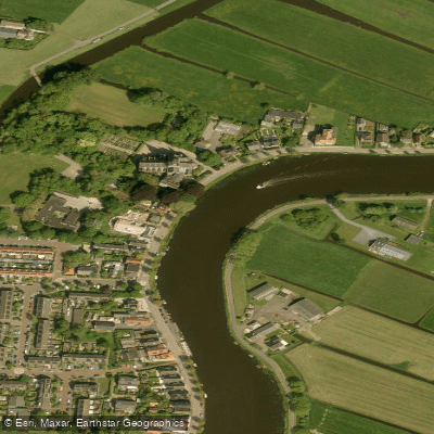
Amstel
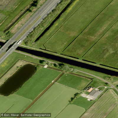
Nieuwe Vaart
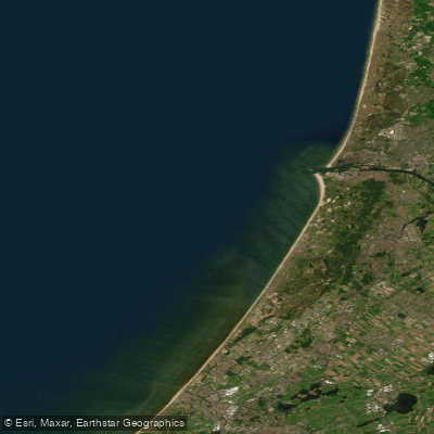
Hollandse kust (kustwater)
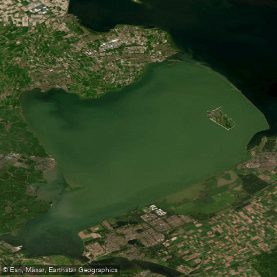
Markermeer
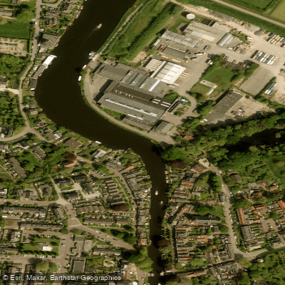
Vecht
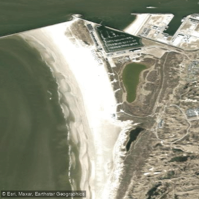
Kennemerstrand
Ringvaart
Strand Zandvoort
Westeinderplassen
Explore North Holland waters
Top paddling waters
No waters available right now.
Popular Cities
Loading popular cities...
Explore near Ringvaart
Access points
Nearby waters
More in North Holland

Smarter Paddling Starts in the App.
Paddleways gives you everything you need to plan smarter, paddle better, and own every trip from first launch to takeout.