Ringvaart van de Zuidplaspolder
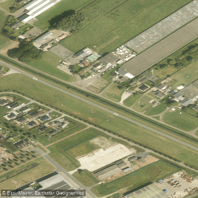
Ringvaart van de Zuidplaspolder
- Boat Ramps
- 0
- Access Points
- 0
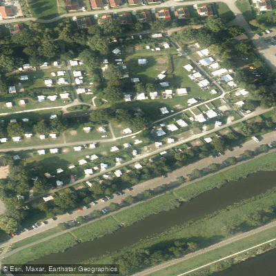
- Campsites
- 1
The Ringvaart van de Zuidplaspolder is a canal in the Zuid-Holland province of the Netherlands, approximately 34 kilometers in total length. It consists of three branches — an eastern, a western, and a northern arm — that converge at a junction near the Gemaal Abraham Kroes pumping station, where water is discharged into the Hollandsche IJssel. The canal's water level is managed flexibly between -2.30 m NAP and -2.05 m NAP, with a typical resting level of around -2.15 m NAP. Management responsibility lies with the Hoogheemraadschap van Schieland en de Krimpenerwaard.
The canal serves a dual purpose: draining the Zuidplaspolder and the Prins Alexanderpolder, and providing a recreational waterway connecting the Rotte river to the Hollandsche IJssel. This makes it a practical through-route for paddlers traveling between Rotterdam and Gouda, passing through the municipality of Zuidplas. The section between Zevenhuizen and Moordrecht is particularly developed for recreational use, with the gemeente Zuidplas having installed landing stages to allow access to village centers, along with waiting and passing points at bridges.
Infrastructure improvements have been ongoing. The Zevenhuizer Verlaat lock is being renovated and automated, with a fish passage being added (work beginning from October 2024). An improved waiting facility has been created at the Snelle Sluis. The Hennipsloot, a connecting waterway, was dredged in 2023 to maintain navigable depth, and dredging of the Ringvaart itself was planned for 2024–2025 to keep the canal at adequate depth.
The route passes through the dorpskernen (village centers) of the Zuidplas area, where paddlers can stop for food and drink or to view local cultural heritage. The canal's historical origins date to 1828, when it was excavated to drain the Zuidplas lake, originally requiring 18 polder windmills and later steam-powered pumping stations — a legacy that gives the surrounding landscape a distinctly engineered, polder character typical of this part of South Holland.
Water access, boat ramps & amenities
Learn how to get on Ringvaart van de Zuidplaspolder. Uncover great paddling access points, boat ramps, and all the facilities you need for an unforgettable day on the water. Some locations shown may border or include private property. Always check property boundaries and applicable regulations before visiting. PaddleWays's Public & Private Land layer can help you plan your access with confidence.
Paddle smarter with real-time insights
Whether you're en route and conditions shift or you're looking for the best spot based on current flows, we enable you to make informed decisions on the fly.







South Holland licenses and regulations
No licenses or regulations available for South Holland.
Find Places to Paddle

Over 400,000 Places to Paddle
Every user gets free access to launch points, boat ramps, and public property parcels.


Water and weather conditions (10 day forecast)
See the best times to paddle Ringvaart van de Zuidplaspolder and check the forecast before you go.
No forecast data available.
Paddling near Ringvaart van de Zuidplaspolder
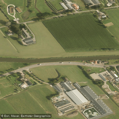
Gekanaliseerde Hollandsche IJssel
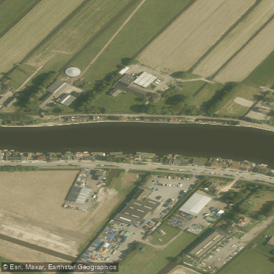
Oude Rijn
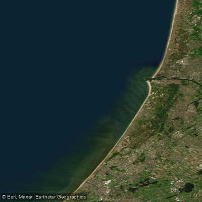
Hollandse kust (kustwater)
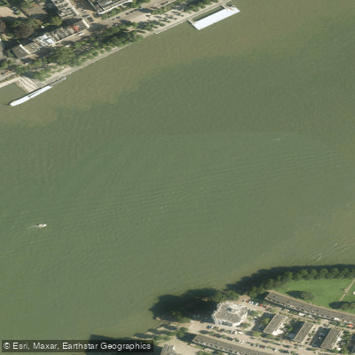
Nieuwe Maas
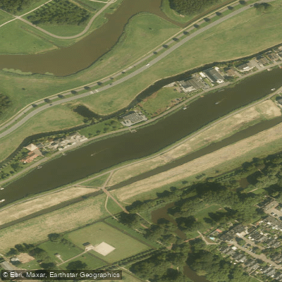
Rotte
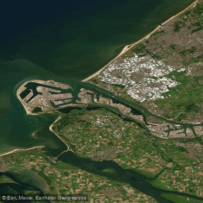
Nieuwe Waterweg
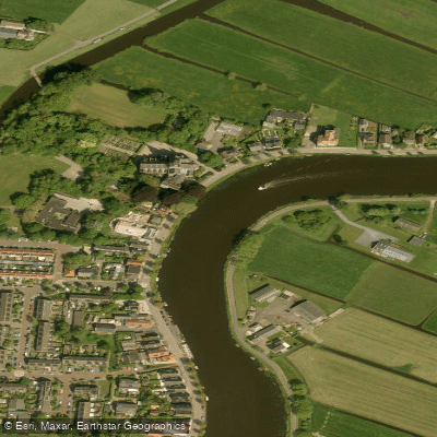
Amstel
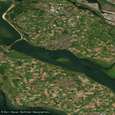
Haringvliet-west
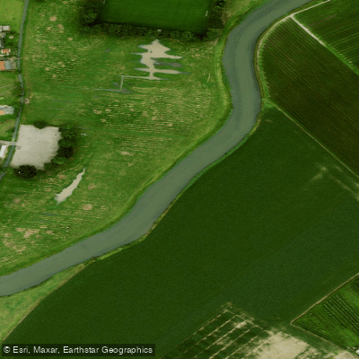
Linge
Explore South Holland waters
Top paddling waters
No waters available right now.
Popular Cities
Loading popular cities...
Explore near Ringvaart van de Zuidplaspolder
Access points
Nearby waters
More in South Holland

Smarter Paddling Starts in the App.
Paddleways gives you everything you need to plan smarter, paddle better, and own every trip from first launch to takeout.