Tauranga Harbour
- Saltwater
- Harbor
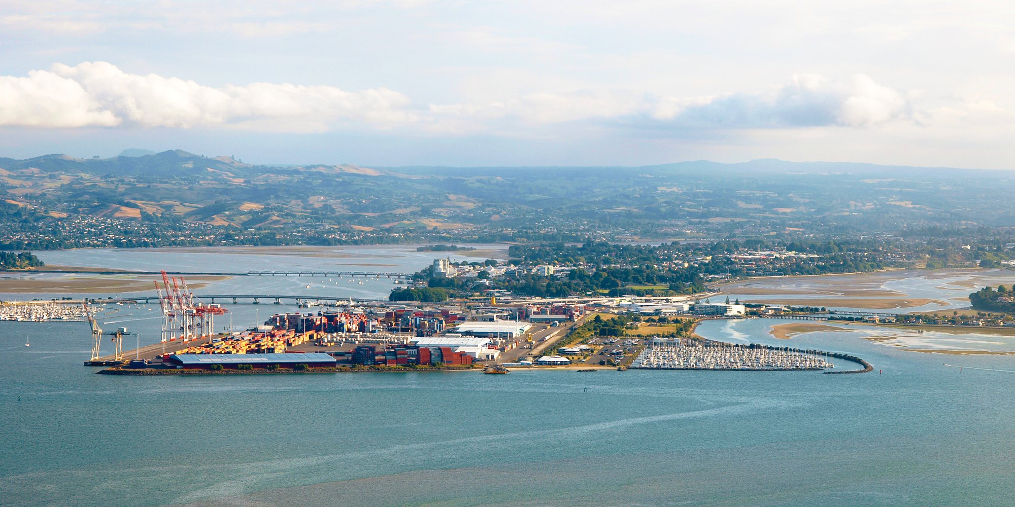
Tauranga Harbour
- Saltwater
- Harbor
- Sq. miles
- 77
- Boat Ramps
- 22
- Access Points
- 2
- Campsites
- 7
Tauranga Harbour is a large tidal estuary covering an area of 218 square kilometers, with the name meaning 'landing place.' It is a significant coastal feature in the Western Bay of Plenty, characterized by its scenic views of the iconic Mount Maunganui and the long, flat barrier island of Matakana Island. For paddlers, the harbour offers a mix of environments from calm, sheltered bays to more exposed crossings. There are numerous formal access points, with 33 boat ramps providing recreational access to the harbour. Specific launch sites include Main Beach and Pilot Bay near Mount Maunganui, with Pilot Bay noted for its calmer, more beginner-friendly waters. Tanners Point boat ramp, located on Tuapiro Creek on the eastern side of the harbour, is another access point. The Strand in Tauranga city is a bustling waterfront promenade with facilities.
A primary safety consideration is boat traffic, particularly when crossing the main Tauranga Harbour inlet to reach Matakana Island. The harbour entrance area near Mount Maunganui and Pilot Bay is a focal point for water-based activities. Paddling from Main Beach around Mount Maunganui to Pilot Bay is a popular route, and a longer trip can involve packing a picnic and paddling over to the pristine sands of Matakana Island. The harbour is subject to tidal influences, and paddlers must be wary of wind exposure and fetch across its open areas. The overall experience is suited for beginners to intermediate paddlers, with the calm harbours and gentle waves near the Mount providing a great place for learning. The aesthetic is defined by crystal-clear waters, golden beaches, and panoramic volcanic landscapes.
Water access, boat ramps & amenities
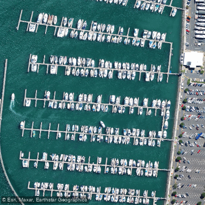
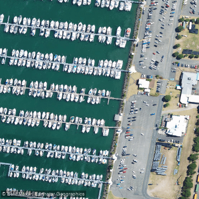
Learn how to get on Tauranga Harbour. Uncover great paddling access points, boat ramps, and all the facilities you need for an unforgettable day on the water. Some locations shown may border or include private property. Always check property boundaries and applicable regulations before visiting. PaddleWays's Public & Private Land layer can help you plan your access with confidence.
Paddle smarter with real-time insights
Whether you're en route and conditions shift or you're looking for the best spot based on current flows, we enable you to make informed decisions on the fly.







Bay Of Plenty licenses and regulations
No licenses or regulations available for Bay Of Plenty.
Find Places to Paddle

Over 400,000 Places to Paddle
Every user gets free access to launch points, boat ramps, and public property parcels.


Tides, wind & water conditions (10 day forecast)
On open water, wind and tide matter as much as the weather. See the best times to paddle Tauranga Harbour and check the marine forecast before you launch.
Loading tide predictions…
Paddling near Tauranga Harbour
Waihou River
Opuiaki River
Kaituna River
Mangapapa River
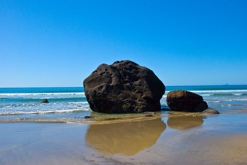
Bay of Plenty
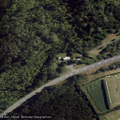
Waiau River
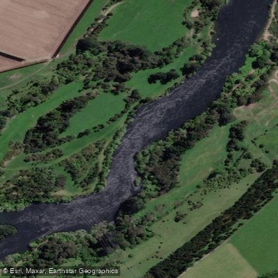
Waikato River
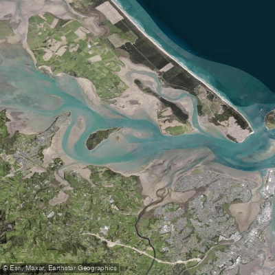
Western Channel
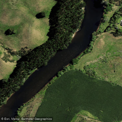
Wairoa River
Explore Bay Of Plenty waters
Top paddling waters
No waters available right now.
Popular Cities
Loading popular cities...
Explore near Tauranga Harbour
Access points
- Katikati Area - Athenree
- Katikati Area - Beach Road
- Katikati Area - Kauri Point
- Katikati Area - Pio'S Beach
- Katikati Area - Tanners Point
- Katikati Area - Tuapiro Point
- Matakana - Opureora Road
- Mount Maunganui Area - Waipu Bay
- Omokoroa/Te Puna Area - Omokoroa Beach
- Omokoroa/Te Puna Area - Omokoroa Beach
- Omokoroa/Te Puna Area - Pahoia Reserve
- Omokoroa/Te Puna Area - Station Road
- All 31 spots
Nearby waters
More in Bay Of Plenty

Smarter Paddling Starts in the App.
Paddleways gives you everything you need to plan smarter, paddle better, and own every trip from first launch to takeout.