Opuiaki River
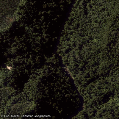
Opuiaki River
- Boat Ramps
- 0
- Access Points
- 0
- Campsites
- 0
The Opuiaki River is a 24-kilometre river in the Bay of Plenty Region of New Zealand's North Island, flowing north from the Mamaku Plateau into Lake McLaren before reaching the Wairoa River approximately 15 kilometres southwest of Tauranga. Its flow has been significantly reduced since the 1970s when most of its water was diverted into Mangapapa Lake as part of a hydroelectric development, which fundamentally altered its character as a waterway.
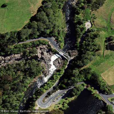
Kayaking on the Opuiaki is strictly for advanced paddlers and is dependent on rain events, as normal flows are insufficient to provide paddling amenity. The whitewater section begins at McLaren Falls, a seven-metre Grade VI waterfall that is generally not paddled. Below this, the first one-metre drop known as "Humpty Dumpty" is often used as a warm-up. The first major rapid, "Mother's Nightmare," is a long Grade IV rapid finishing with a two-metre drop. This is followed by several Grade III rapids — Helicopter, Double Trouble, and Devils Elbow/Washing Machine. The two Grade V sections are "Top Waterfall," a small drop into a hole followed by a three-metre drop, and "Roller Coaster." Downstream, paddlers encounter a Grade III rock garden, a Whitewater Slalom gorge, further Grade III rapids, and the "Bottom Waterfall," another two-metre drop.
From Lake McLaren, the lower portion of the Opuiaki can be paddled by entering from the lake and heading upstream into the river mouth. There is no public access to the upper catchment, and access to the river generally requires crossing private land, so landowner permission must be sought. The Opuiaki is accessed off Soldiers Road from State Highway 29, just beyond the Ngamuwahine bridge.
Given the reliance on rainfall to bring the river up to paddleable levels and the advanced nature of the rapids, this is not a suitable run for intermediate paddlers or those unfamiliar with high-consequence whitewater. The steep, fast nature of the upper river under flood conditions makes it extremely hazardous and not recommended for any paddling attempt.
Water access, boat ramps & amenities
Learn how to get on Opuiaki River. Uncover great paddling access points, boat ramps, and all the facilities you need for an unforgettable day on the water. Some locations shown may border or include private property. Always check property boundaries and applicable regulations before visiting. PaddleWays's Public & Private Land layer can help you plan your access with confidence.
Paddle smarter with real-time insights
Whether you're en route and conditions shift or you're looking for the best spot based on current flows, we enable you to make informed decisions on the fly.







Bay Of Plenty licenses and regulations
No licenses or regulations available for Bay Of Plenty.
Find Places to Paddle

Over 400,000 Places to Paddle
Every user gets free access to launch points, boat ramps, and public property parcels.


Water and weather conditions (10 day forecast)
See the best times to paddle Opuiaki River and check the forecast before you go.
No forecast data available.
Paddling near Opuiaki River
Kaituna River
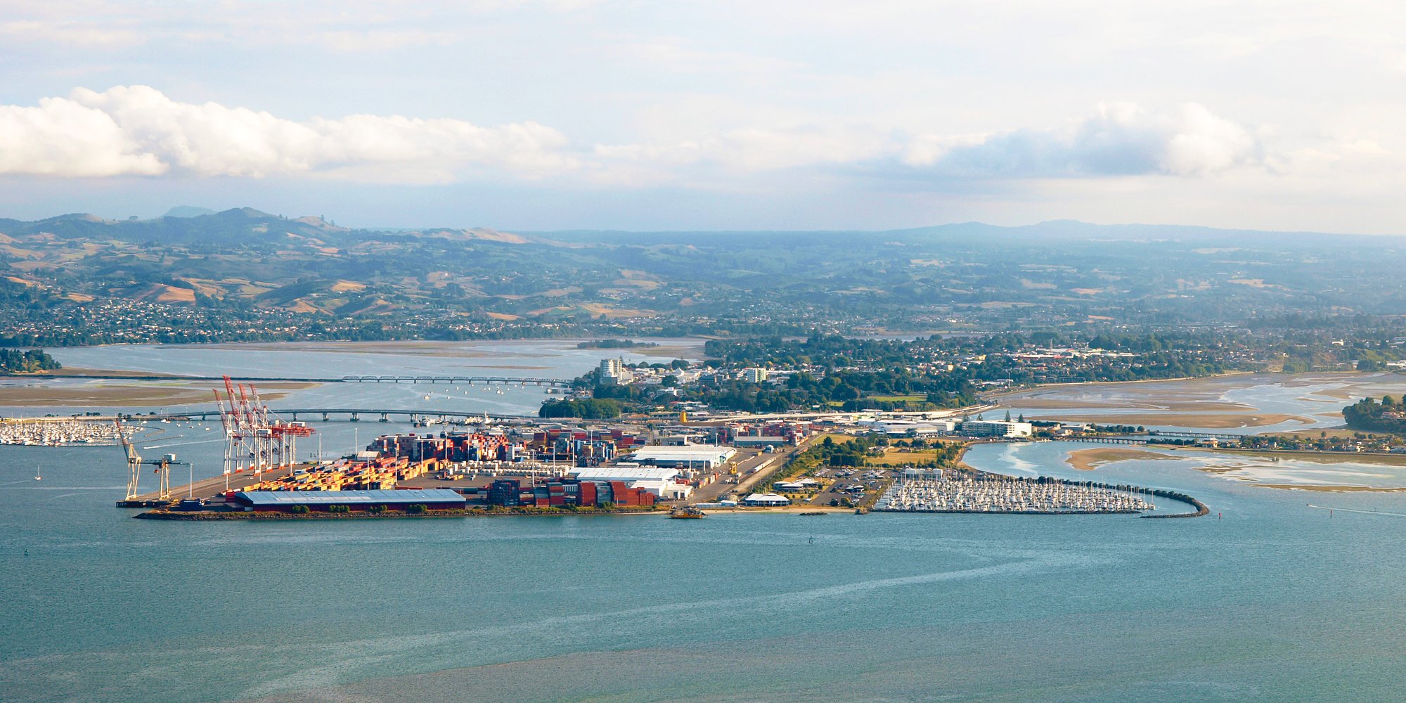
Tauranga Harbour
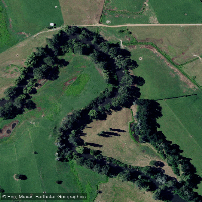
Waihou River
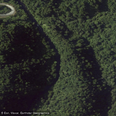
Mangapapa River
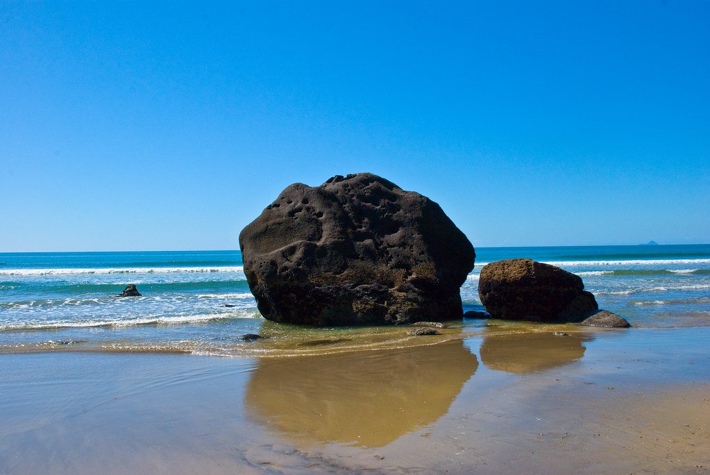
Bay of Plenty
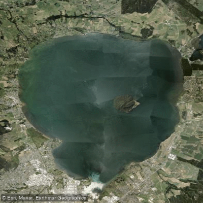
Lake Rotorua / Te Rotorua Nui Ā Kahumatamomoe
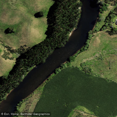
Wairoa River
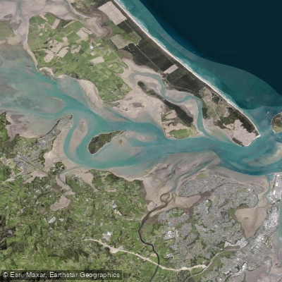
Western Channel
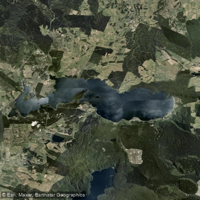
Lake Rotoiti / Te Roto Kite Ā Ihenga I Ariki Ai Kahu
Explore Bay Of Plenty waters
Top paddling waters
No waters available right now.
Popular Cities
Loading popular cities...
Explore near Opuiaki River

Smarter Paddling Starts in the App.
Paddleways gives you everything you need to plan smarter, paddle better, and own every trip from first launch to takeout.