Mangapapa River
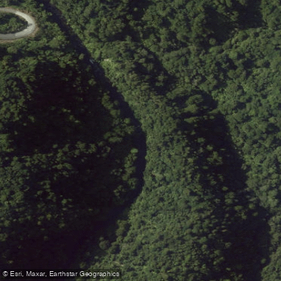
Mangapapa River
- Boat Ramps
- 0
- Access Points
- 0
- Campsites
- 0
The Mangapapa River drains into Lake McLaren near Tauranga in the Bay of Plenty region, and the most accessible paddling on the river is the Mangapapa Canyon, reached by paddling across Lake McLaren from its launch point at Taniwha Place, approximately 10 minutes from central Tauranga. The canyon section is characterized by sheer cliffs rising from deep water, with native bush growing densely along the walls and canopy closing overhead to create a cave-like effect. Birdlife is present throughout the lake and canyon approach. The canyon is also notable for glowworms visible on the cliff walls during evening tours.
Guided kayak tours of the canyon operate year-round, with daytime departures at 9am and evening glowworm tours also available. The total paddling time on guided tours is approximately one and a half hours. The canyon is considered suitable for general visitors when accessed via the lake route on guided tours.
The upper Mangapapa River, above Lake McLaren and Lake Mangaonui, presents an entirely different character and is strictly for advanced paddlers. Kayaking on this section depends on rain events to raise water levels, as normal flows are insufficient for paddling. In extreme flood conditions, the upper river is described as extremely hazardous. Access to the upper river is also physically demanding, with riparian access described as very difficult. The river's headwaters on the Mamaku Plateau hold trout habitat of regional significance, though angling access requires experienced bushcraft.
The river is part of the Kaimai Hydroelectric Power Scheme (operated by Manawa Energy), which affects flow levels in the upper catchment. Paddlers considering the upper river should be aware that scheme operations can influence water availability.
Water access, boat ramps & amenities
Learn how to get on Mangapapa River. Uncover great paddling access points, boat ramps, and all the facilities you need for an unforgettable day on the water. Some locations shown may border or include private property. Always check property boundaries and applicable regulations before visiting. PaddleWays's Public & Private Land layer can help you plan your access with confidence.
Paddle smarter with real-time insights
Whether you're en route and conditions shift or you're looking for the best spot based on current flows, we enable you to make informed decisions on the fly.







Bay Of Plenty licenses and regulations
No licenses or regulations available for Bay Of Plenty.
Find Places to Paddle

Over 400,000 Places to Paddle
Every user gets free access to launch points, boat ramps, and public property parcels.


Water and weather conditions (10 day forecast)
See the best times to paddle Mangapapa River and check the forecast before you go.
No forecast data available.
Paddling near Mangapapa River
Opuiaki River
Kaituna River
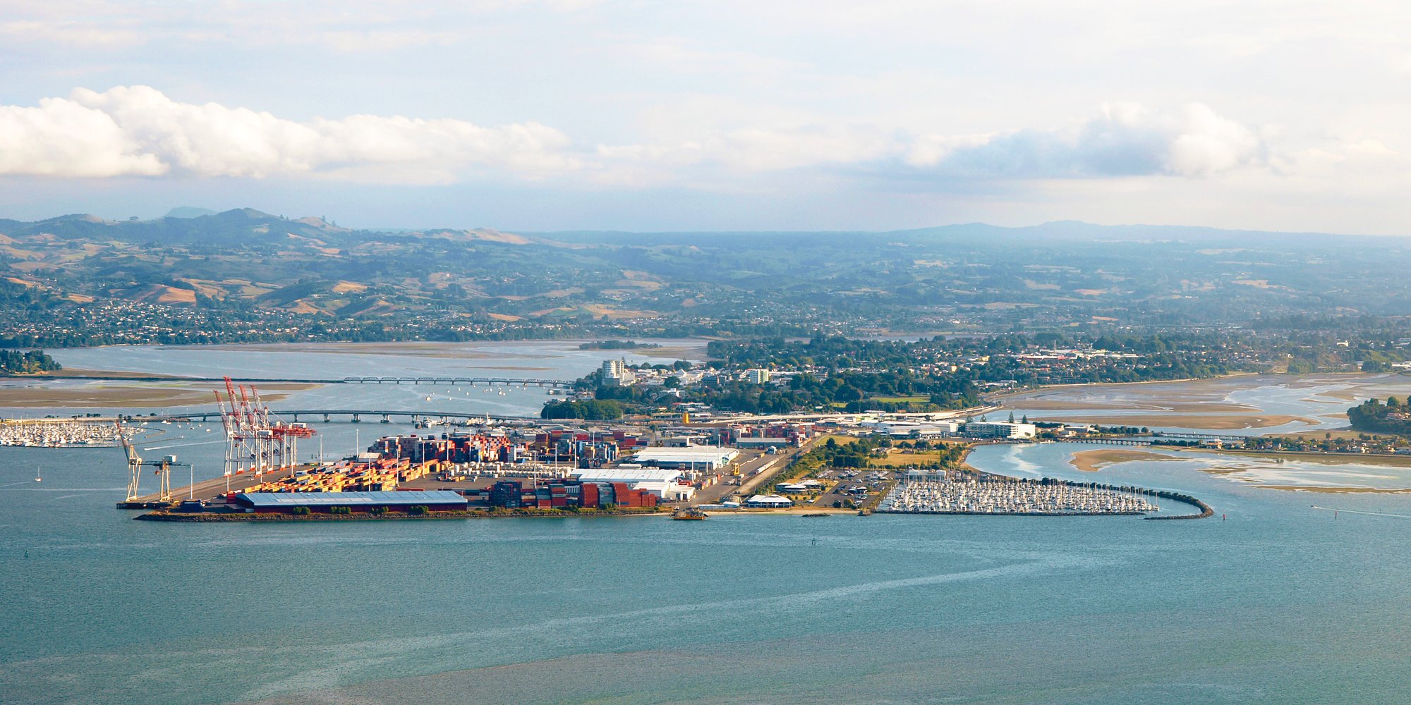
Tauranga Harbour
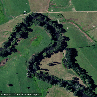
Waihou River
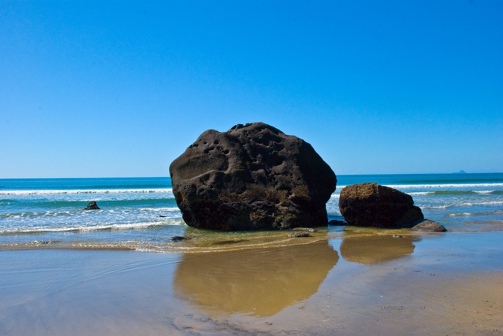
Bay of Plenty
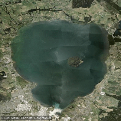
Lake Rotorua / Te Rotorua Nui Ā Kahumatamomoe
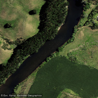
Wairoa River
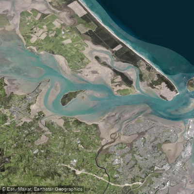
Western Channel
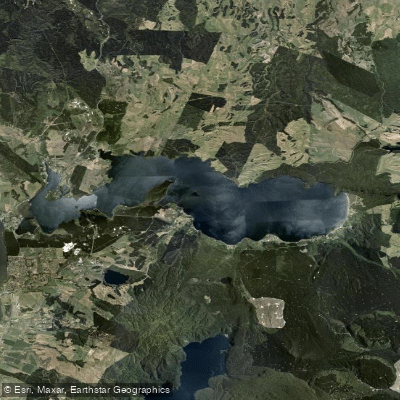
Lake Rotoiti / Te Roto Kite Ā Ihenga I Ariki Ai Kahu
Explore Bay Of Plenty waters
Top paddling waters
No waters available right now.
Popular Cities
Loading popular cities...
Explore near Mangapapa River

Smarter Paddling Starts in the App.
Paddleways gives you everything you need to plan smarter, paddle better, and own every trip from first launch to takeout.