Kaituna River
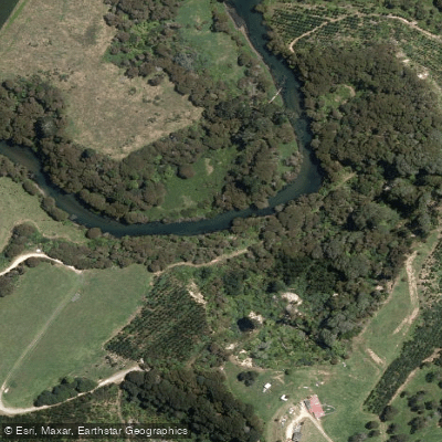
Kaituna River
- Boat Ramps
- 0
- Access Points
- 0
- Campsites
- 0
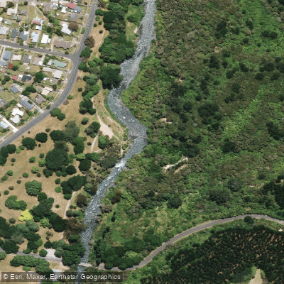
The Kaituna River flows northward from Lake Rotoiti through the Okere Falls area, approximately 15 to 20 minutes east of Rotorua on New Zealand's North Island, before eventually reaching the Bay of Plenty near Te Puke. The river stretches roughly 45 to 50 kilometers in total, though the sections most relevant to whitewater paddlers are considerably shorter. The river is dam-controlled, with releases from a dam just upstream of the main put-in, making it runnable year-round. Recommended flows for the upper section run between 200 and 600 gate units, or 15 to 27 cumecs at Trout Pool.
The upper section, known as the Okere Falls run, covers approximately 0.85 miles from the put-in at State Highway 33 to Trout Pool, with a gradient averaging around 74 feet per mile and a difficulty rating of Class III to IV (IV+). The run begins with a rail launch at the put-in, followed by The Chute (Class III), and builds toward Tutea Falls, a 7-meter (approximately 23-foot) waterfall recognized as the highest commercially rafted waterfall in the world. Below Tutea Falls, the bottom half of the run features play holes, tight eddies, small chutes, and rapids including Skateboard Ramp, Boiling Pot, Swimmers, Eta Riffles, Abis, Stand Up, and the Bottom Hole, which is well-suited for freestyle moves. The shuttle for the upper section is walkable.
Troutpool Falls (also called Trouties) near the end of the upper run is rated Class V and carries significant hazard due to extreme retention, undercuts, and caves. Raft companies are legally prohibited from running this drop with clients. Once on the river, scouting is described as nearly impossible, making prior familiarity with the lines important.
Below Trout Pool, the Lowers section covers approximately 13.2 miles through Awesome Gorge and Smoky Gorge at Class IV to IV+, with a gradient averaging 78 feet per mile. This section includes at least one unscoutable and unportageable rapid that must be run far left of center. The take-out is at a farm off Maungarangi Road, with a 30-kilometer shuttle.
The entrance to the upper gorge contains a slalom course used by international teams for off-season training. A Maori statue stands at the Powerhouse Rapid, commemorating the site of one of New Zealand's first hydroelectric stations, built in 1901 and decommissioned in 1936. The river's name derives from the Maori words for "eat" (kai) and "eels" (tuna), reflecting its historical importance as a food source for the Ngāti Pikiao people. Tutea Falls is named after Chief Tutea, who is buried there. The water runs warm through a gorge of native bush, and the emerald green color of the water is frequently noted.
Water access, boat ramps & amenities
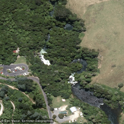
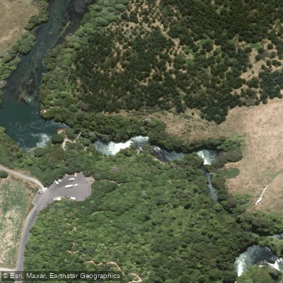
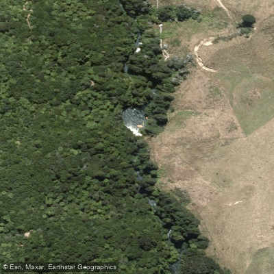
Learn how to get on Kaituna River. Uncover great paddling access points, boat ramps, and all the facilities you need for an unforgettable day on the water. Some locations shown may border or include private property. Always check property boundaries and applicable regulations before visiting. PaddleWays's Public & Private Land layer can help you plan your access with confidence.
Paddle smarter with real-time insights
Whether you're en route and conditions shift or you're looking for the best spot based on current flows, we enable you to make informed decisions on the fly.







Bay Of Plenty licenses and regulations
No licenses or regulations available for Bay Of Plenty.
Find Places to Paddle

Over 400,000 Places to Paddle
Every user gets free access to launch points, boat ramps, and public property parcels.


Water and weather conditions (10 day forecast)
See the best times to paddle Kaituna River and check the forecast before you go.
No forecast data available.
Paddling near Kaituna River
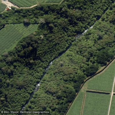
Waiari Stream
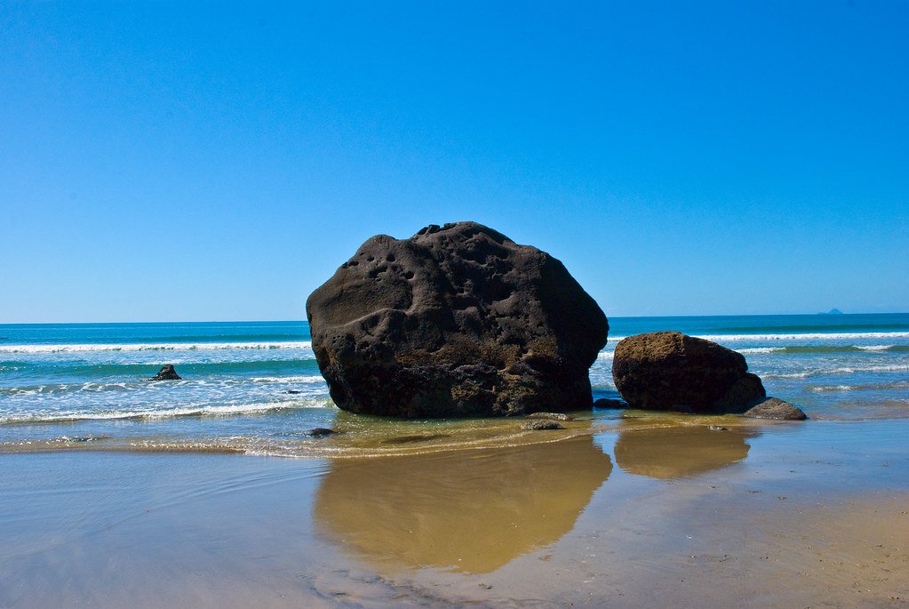
Bay of Plenty
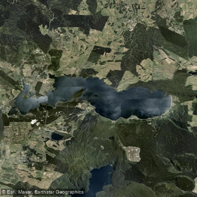
Lake Rotoiti / Te Roto Kite Ā Ihenga I Ariki Ai Kahu
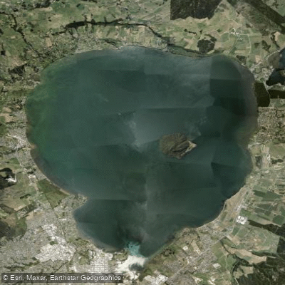
Lake Rotorua / Te Rotorua Nui Ā Kahumatamomoe
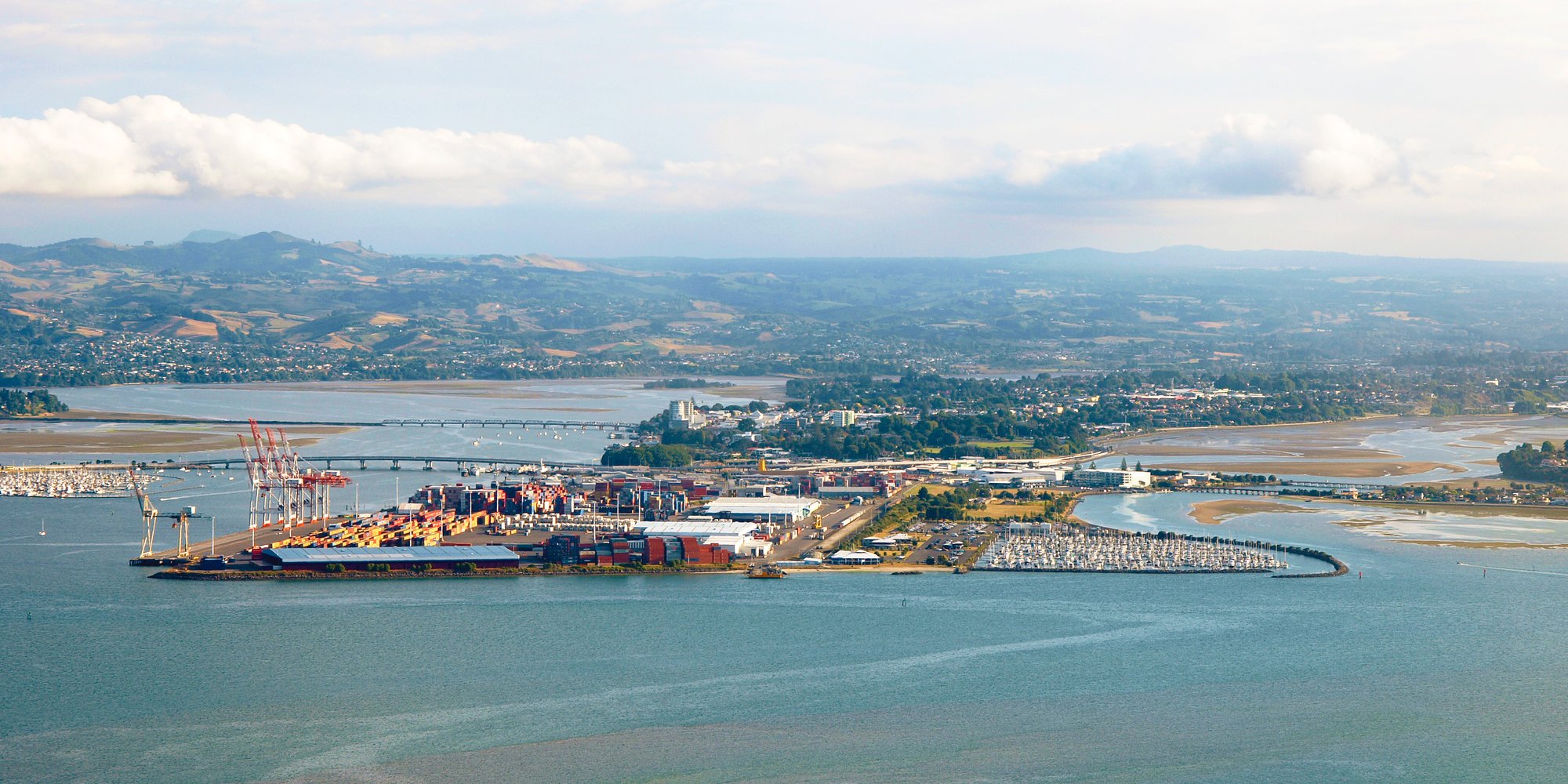
Tauranga Harbour
Opuiaki River
Mangapapa River
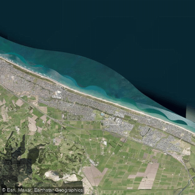
Pāpāmoa Beach
Tarawera River
Explore Bay Of Plenty waters
Top paddling waters
No waters available right now.
Popular Cities
Loading popular cities...
Explore near Kaituna River

Smarter Paddling Starts in the App.
Paddleways gives you everything you need to plan smarter, paddle better, and own every trip from first launch to takeout.