Lyttelton Harbour / Whakaraupō
- Saltwater
- Harbor
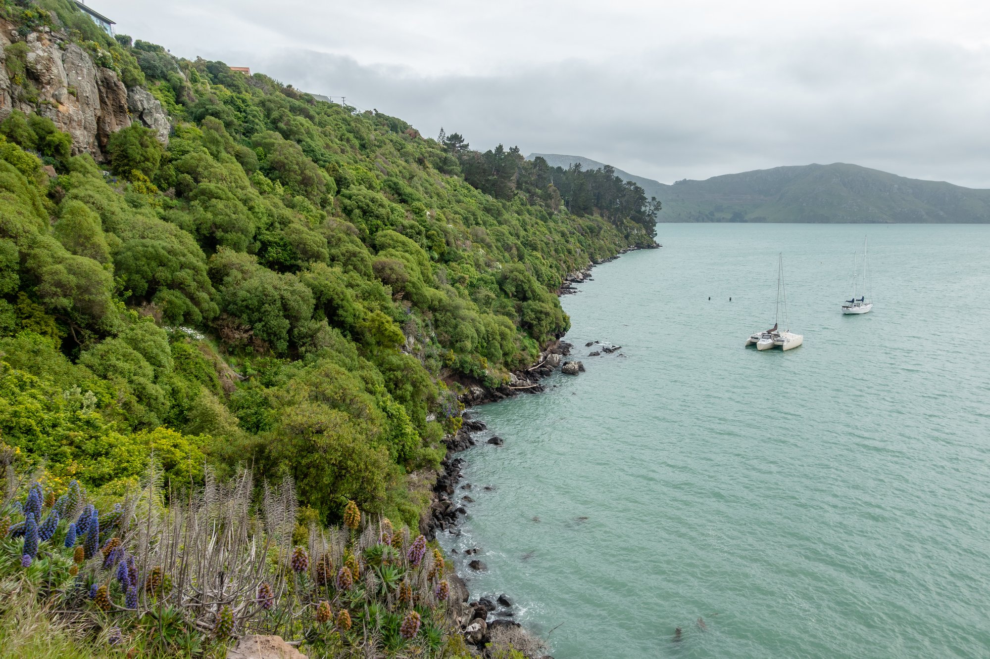
Lyttelton Harbour / Whakaraupō
- Saltwater
- Harbor
- Sq. miles
- 16
- Boat Ramps
- 9
- Access Points
- 1
- Campsites
- 1
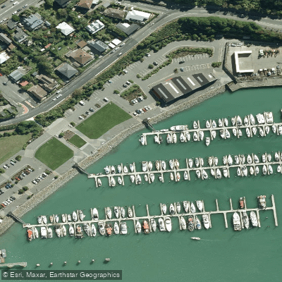
Lyttelton Harbour / Whakaraupō is a significant coastal harbour located on Banks Peninsula near Christchurch. This saltwater harbour is approximately 15 kilometres in length from its narrow entrance to the settlement of Teddington at its head. The harbour occupies the erosion caldera of an ancient volcano, with the steep sides forming the Port Hills along its northern shore. This geological origin creates a distinctive, sheltered basin-like environment. For paddlers, the harbour offers a mix of open water and intricate shoreline. Access points for launching and landing include public sites such as Lyttelton marina, which has a sealed access point suitable for foot and vehicle. Other potential launch areas are found at settlements like Diamond Harbour. The harbour is a working port, so paddlers must anticipate significant commercial ship traffic, especially near the entrance and the port facilities of Lyttelton township. Recreational boat traffic is also present. The narrow harbour mouth can experience strong tidal currents and wind-against-tide conditions, requiring careful planning. Paddlers should consult local tide tables and nautical charts, as the tidal range influences currents throughout the harbour. Winds can funnel down the length of the harbour, creating fetch and building chop, particularly in the central and eastern basins. Weather conditions can change rapidly, and the marine environment demands respect for adverse sea states. Notable destinations for day trips include Quail Island, which features a loop track and a hut, and Ripapa Island Historic Reserve on the southern shore. Ripapa Island, which holds significant cultural and historical importance for Ngāi Tahu, is only accessible by private boat or kayak. Visitors to Ripapa Island must respect its tapu status, with eating and drinking restricted to designated areas. The harbour's shores offer walking tracks, and the historic port town of Lyttelton hosts a weekly farmers market. Guided sea kayaking tours operate in the harbour, often incorporating Quail Island. The water is part of a marine environment with typical coastal wildlife.
Water access, boat ramps & amenities
Learn how to get on Lyttelton Harbour / Whakaraupō. Uncover great paddling access points, boat ramps, and all the facilities you need for an unforgettable day on the water. Some locations shown may border or include private property. Always check property boundaries and applicable regulations before visiting. PaddleWays's Public & Private Land layer can help you plan your access with confidence.
Paddle smarter with real-time insights
Whether you're en route and conditions shift or you're looking for the best spot based on current flows, we enable you to make informed decisions on the fly.







Canterbury licenses and regulations
No licenses or regulations available for Canterbury.
Find Places to Paddle

Over 400,000 Places to Paddle
Every user gets free access to launch points, boat ramps, and public property parcels.


Tides, wind & water conditions (10 day forecast)
On open water, wind and tide matter as much as the weather. See the best times to paddle Lyttelton Harbour / Whakaraupō and check the marine forecast before you launch.
Loading tide predictions…
Paddling near Lyttelton Harbour / Whakaraupō

Avon River / Ōtākaro
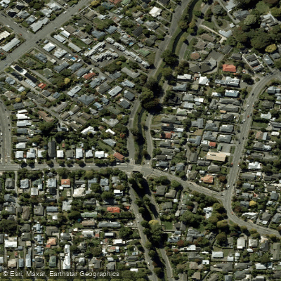
Ōpāwaho / Heathcote River
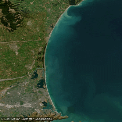
Pegasus Bay
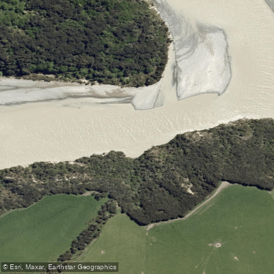
Waimakariri River
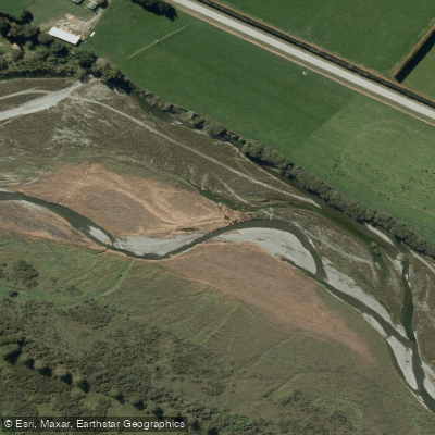
Selwyn River / Waikirikiri
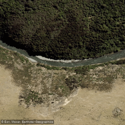
Ashley River / Rakahuri
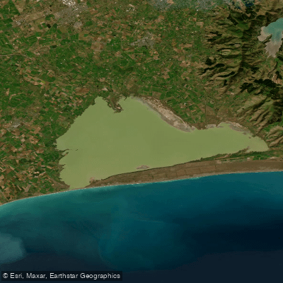
Ellesmere / Te Waihora
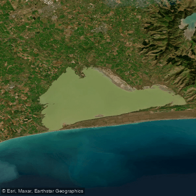
Lake Ellesmere / Te Waihora
Kaituna River
Explore Canterbury waters
Top paddling waters
No waters available right now.
Popular Cities
Loading popular cities...
Explore near Lyttelton Harbour / Whakaraupō
Access points
Nearby waters
More in Canterbury

Smarter Paddling Starts in the App.
Paddleways gives you everything you need to plan smarter, paddle better, and own every trip from first launch to takeout.