Waimakariri River
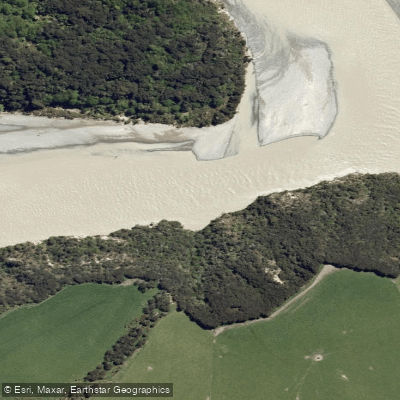
Waimakariri River
- Boat Ramps
- 0
- Access Points
- 0
- Campsites
- 0
The Waimakariri River is one of Canterbury's iconic braided river systems, flowing from the Southern Alps toward the coast near Christchurch on New Zealand's South Island. As a braided river, it features a wide riverbed where water divides and recombines across multiple channels, a characteristic shared by only a small percentage of the world's rivers. The river is divided broadly into an upper section of roughly 60km and a lower section of approximately 15km below the gorge, with a dramatic gorge section of around 30km connecting them.
The upper and gorge sections are classified as Grade 2 whitewater, making them suitable for paddlers with intermediate skills and a Grade 2 certificate. Typical flows at the Otarama Gauge range from 35 to 70 cumecs, with the river considered paddleable between 30 and 130 cumecs; 100 cumecs is common in midsummer. The maximum safe flow for the gorge is generally cited at 180 cumecs. Hazards include wave trains, strong eddy lines, bluffs, midstream rocks, trees, and willow hazards in the lower braided section. The Rock Garden Rapids, located approximately 30 minutes below the upper put-in, change configuration annually. The gorge itself features landmarks such as Hamilton Rapid and the Red Staircase Viaduct. Exposed sections offer little wind shelter, and wind can funnel strongly down the channels.
For the upper section, the launch point is accessed via Woodstock Road, View Hill (7495), where paddlers can drive onto the riverbed and park. There are no facilities at this put-in. The egress for this section is at Waimakariri Gorge, Waimakariri Picnic Road, Sheffield (7495), also without facilities, with a shuttle time of approximately 20 minutes between the two points. The lower 15km section offers easier access from Christchurch. Additional access points exist at Kaiapoi, including a boat ramp at Askeaton Park off Hall Street and a launch point for kayaks near Murphy Park west of the Mandeville Bridge, as well as a public ramp at Kairaki Beach at the end of Featherstone Ave.
Because the river is braided, its channels shift regularly, meaning the specific lines and conditions can differ noticeably from one visit to the next. Checking flow data at the Esk and Otarama gauges before any trip is strongly recommended, as conditions vary considerably with rainfall.
Water access, boat ramps & amenities
Learn how to get on Waimakariri River. Uncover great paddling access points, boat ramps, and all the facilities you need for an unforgettable day on the water. Some locations shown may border or include private property. Always check property boundaries and applicable regulations before visiting. PaddleWays's Public & Private Land layer can help you plan your access with confidence.
Paddle smarter with real-time insights
Whether you're en route and conditions shift or you're looking for the best spot based on current flows, we enable you to make informed decisions on the fly.







Canterbury licenses and regulations
No licenses or regulations available for Canterbury.
Find Places to Paddle

Over 400,000 Places to Paddle
Every user gets free access to launch points, boat ramps, and public property parcels.


Water and weather conditions (10 day forecast)
See the best times to paddle Waimakariri River and check the forecast before you go.
Waimakariri River At Old Highway Bridge
All Flow Stations
Paddling near Waimakariri River
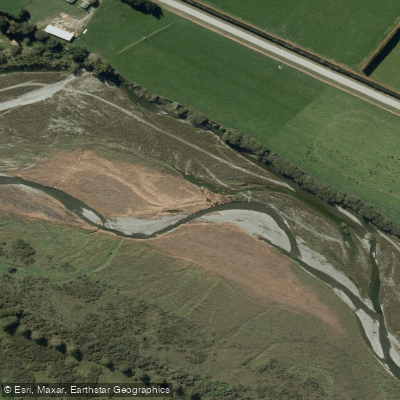
Selwyn River / Waikirikiri
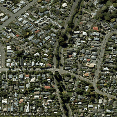
Ōpāwaho / Heathcote River
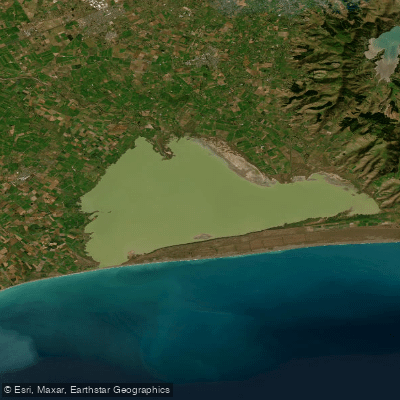
Lake Ellesmere / Te Waihora

Avon River / Ōtākaro
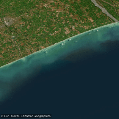
Canterbury Bight
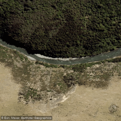
Ashley River / Rakahuri
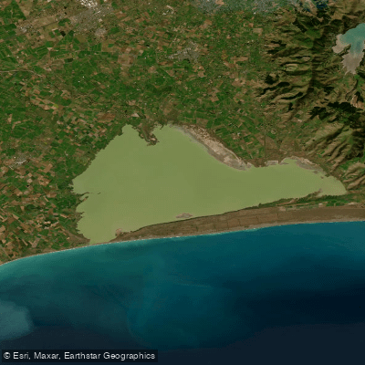
Ellesmere / Te Waihora
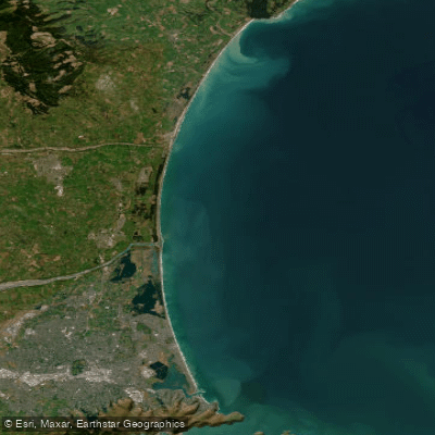
Pegasus Bay
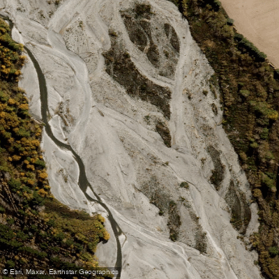
Ashburton River North Branch
Explore Canterbury waters
Top paddling waters
No waters available right now.
Popular Cities
Loading popular cities...
Explore near Waimakariri River

Smarter Paddling Starts in the App.
Paddleways gives you everything you need to plan smarter, paddle better, and own every trip from first launch to takeout.