Ashley River / Rakahuri
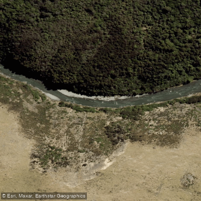
Ashley River / Rakahuri
- Boat Ramps
- 0
- Access Points
- 0
- Campsites
- 1
The Ashley River / Rakahuri is a Canterbury river draining a large catchment that backs onto the Southern Alps, making it highly responsive to rainfall — flows can rise quickly when rain falls in the headwaters. The most paddled section is Ashley Gorge, running from Middle Bridge to the Campground, a stretch that delivers continuous grade III rapids over approximately 4 kilometres once the technical water begins. Above this, the Lees Valley to Middle Bridge section offers easier water in the II to II+ range at lower flows.
Flow levels strongly determine the character and appropriate skill level for the gorge. At 5–10 cumecs, the gorge runs at II/III and is the preferred range for packrafters. Between 20 and 50 cumecs, the rapids grade up to a solid III and represent the preferred window for most kayakers. At 60 cumecs and above, the river becomes expert-only territory, grading III+, with boulder drops flushing out and powerful holes developing. At these higher flows, some eddies become difficult or impossible to exit, and certain features become unscoutable and unportageable. The standard advice is to put on after rain has stopped and flows are dropping rather than rising.
The gorge demands strong group rescue skills at kayaking flows. Swimmers can lose their boats quickly, as boats flush through rapidly and are rarely recovered. Throw ropes are only effective if the rescuer is positioned upstream. Most search-and-rescue callouts on this river involve paddlers separated from their craft. One notable hazard is a large rock on the first significant rapid, located on a left turn after a long straight section — scouting from an eddy is recommended rather than running it blind. The long rapid leading to Big Eddy carries pinning potential in midstream, and creative rescue techniques may be required if a pin occurs there.
At its lower end, the Ashley River / Rakahuri flows into a tidal lagoon estuary — the Ashley-Rakahuri / Saltwater Creek Estuary (Te Akaaka) — a semi-enclosed embayment where fresh and salt water mix. The estuary supports diverse ecological communities and is a recognised area of ecological significance. A public viewing platform accessible from the Ashley River end of Waikuku Beach provides a vantage point over this coastal environment.
Water access, boat ramps & amenities
Learn how to get on Ashley River / Rakahuri. Uncover great paddling access points, boat ramps, and all the facilities you need for an unforgettable day on the water. Some locations shown may border or include private property. Always check property boundaries and applicable regulations before visiting. PaddleWays's Public & Private Land layer can help you plan your access with confidence.
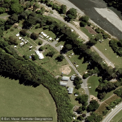
Paddle smarter with real-time insights
Whether you're en route and conditions shift or you're looking for the best spot based on current flows, we enable you to make informed decisions on the fly.







Canterbury licenses and regulations
No licenses or regulations available for Canterbury.
Find Places to Paddle

Over 400,000 Places to Paddle
Every user gets free access to launch points, boat ramps, and public property parcels.


Water and weather conditions (10 day forecast)
See the best times to paddle Ashley River / Rakahuri and check the forecast before you go.
Ashley River At Sh1 Bridge
All Flow Stations
Paddling near Ashley River / Rakahuri
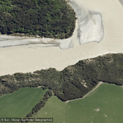
Waimakariri River
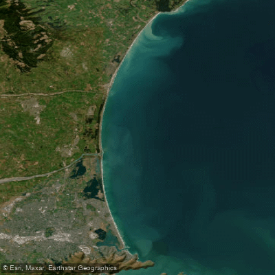
Pegasus Bay

Avon River / Ōtākaro
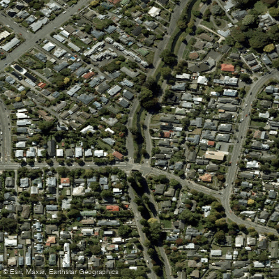
Ōpāwaho / Heathcote River
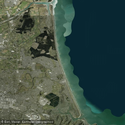
New Brighton Beach
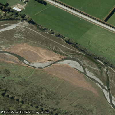
Selwyn River / Waikirikiri
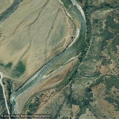
Hurunui River
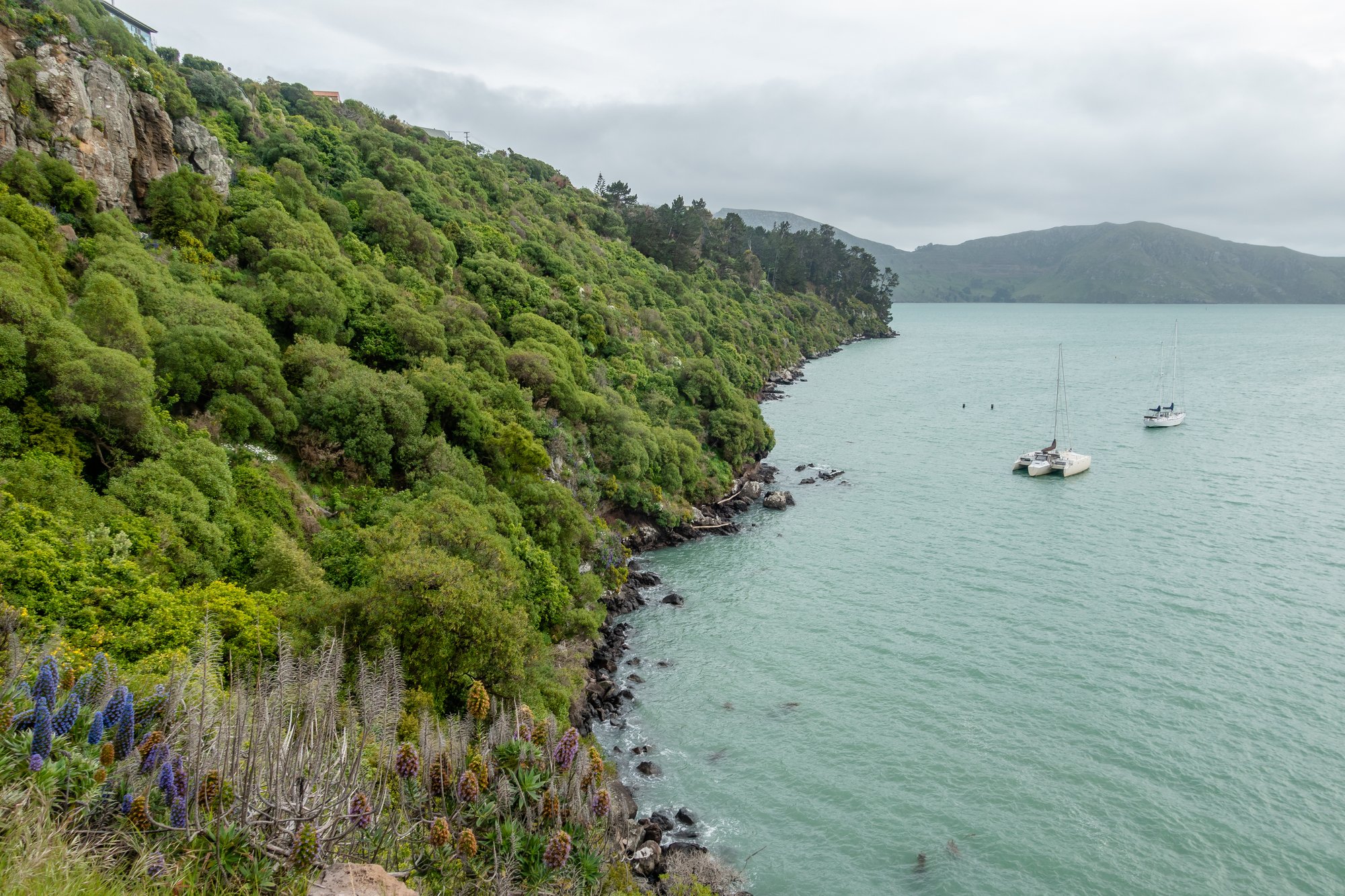
Lyttelton Harbour / Whakaraupō
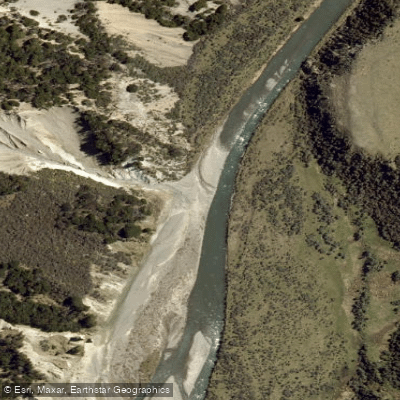
Esk River
Explore Canterbury waters
Top paddling waters
No waters available right now.
Popular Cities
Loading popular cities...
Explore near Ashley River / Rakahuri

Smarter Paddling Starts in the App.
Paddleways gives you everything you need to plan smarter, paddle better, and own every trip from first launch to takeout.