Selwyn River / Waikirikiri
Selwyn River / Waikirikiri
- Boat Ramps
- 0
- Access Points
- 0
- Campsites
- 4
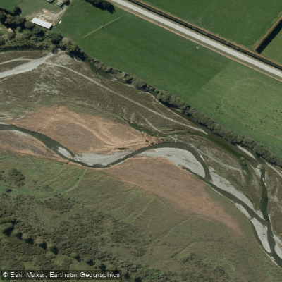
The Selwyn River / Waikirikiri originates in the Canterbury foothills above Whitecliffs and travels approximately 80 kilometres across the Canterbury Plains before entering Lake Ellesmere (Te Waihora). Originally known by its Māori name Waikirikiri, the river was renamed in the 1840s after Anglican Bishop Selwyn, and both names remain in use today.
Flow on the Selwyn is highly seasonal and this is the most critical factor for trip planning. The river runs high and is flood-prone during winter and early spring, while summer drought conditions can reduce the upper reaches to bone-dry channels. Paddlers should verify flow conditions carefully before committing to any trip, as sections that appear navigable on a map may carry no water at all in dry months.
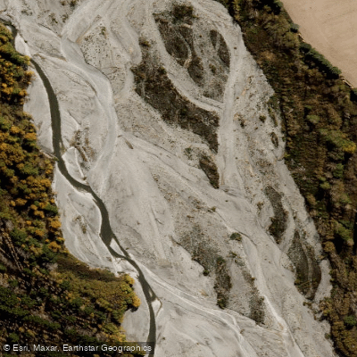
The river has been paddled in at least two distinct sections. The upper section runs from White Cliffs down to Coalgate, while the lower section — from near the Hororata River confluence through to SH1 and potentially continuing to Lake Ellesmere — passes through braided river terrain. The braided character of the lower reaches is a defining feature of the paddling experience on this stretch.
A Lower Selwyn Huts boat ramp provides access near the river's mouth at Lake Ellesmere, making it a practical take-out point for those running the lower river or transitioning onto the lake. Bealey Road bridge and Coes Ford have also been referenced as access points along the river corridor.
The surrounding landscape is Canterbury Plains farmland, with the river winding through a patchwork of agricultural land. The area around the river mouth and Lake Ellesmere is notable for its birdlife, with approximately 170 species recorded at the lake. Duck shooting is a significant activity in the region, with the season opening on the first Saturday in May each year, which paddlers in that area should be aware of.
Water access, boat ramps & amenities
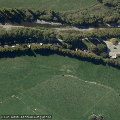
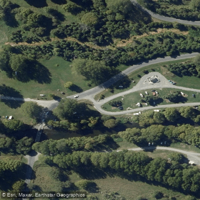
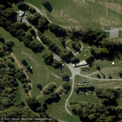
Learn how to get on Selwyn River / Waikirikiri. Uncover great paddling access points, boat ramps, and all the facilities you need for an unforgettable day on the water. Some locations shown may border or include private property. Always check property boundaries and applicable regulations before visiting. PaddleWays's Public & Private Land layer can help you plan your access with confidence.
Paddle smarter with real-time insights
Whether you're en route and conditions shift or you're looking for the best spot based on current flows, we enable you to make informed decisions on the fly.







Canterbury licenses and regulations
No licenses or regulations available for Canterbury.
Find Places to Paddle

Over 400,000 Places to Paddle
Every user gets free access to launch points, boat ramps, and public property parcels.


Water and weather conditions (10 day forecast)
See the best times to paddle Selwyn River / Waikirikiri and check the forecast before you go.
Selwyn River At Whitecliffs (Esnz)
All Flow Stations
Paddling near Selwyn River / Waikirikiri
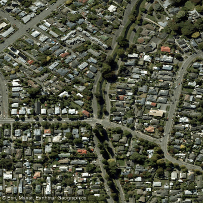
Ōpāwaho / Heathcote River
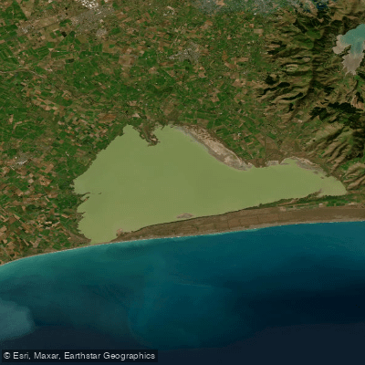
Lake Ellesmere / Te Waihora
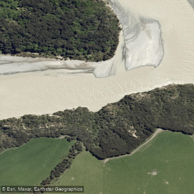
Waimakariri River

Avon River / Ōtākaro
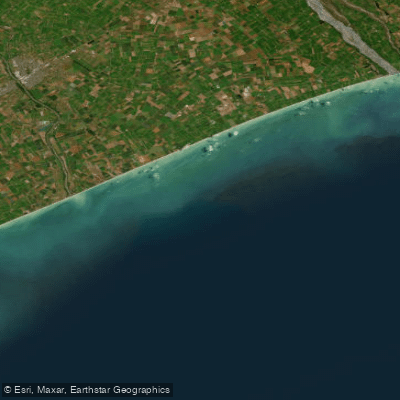
Canterbury Bight
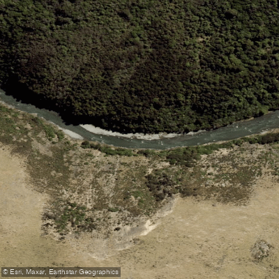
Ashley River / Rakahuri
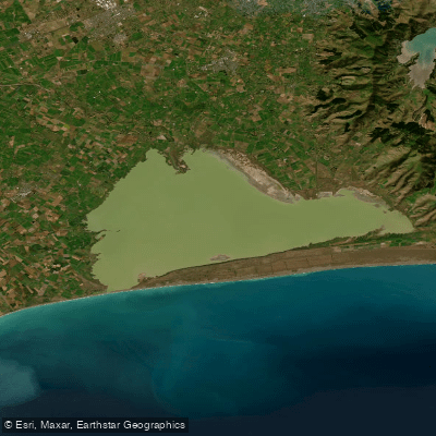
Ellesmere / Te Waihora
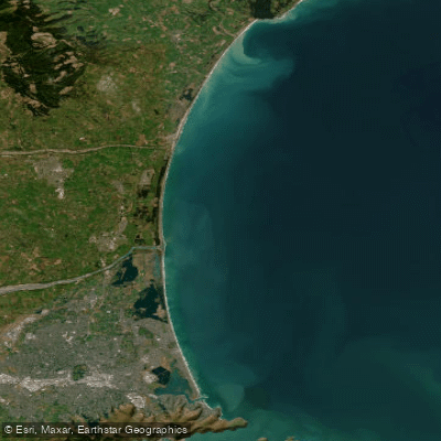
Pegasus Bay
Ashburton River North Branch
Explore Canterbury waters
Top paddling waters
No waters available right now.
Popular Cities
Loading popular cities...
Explore near Selwyn River / Waikirikiri
Access points
Nearby waters
More in Canterbury

Smarter Paddling Starts in the App.
Paddleways gives you everything you need to plan smarter, paddle better, and own every trip from first launch to takeout.