Whangaehu River
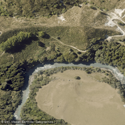
Whangaehu River
- Boat Ramps
- 0
- Access Points
- 0
- Campsites
- 0
The Whangaehu River in New Zealand's Lower North Island owes its distinctive character to its origins: it is shaped by lahars and flows out of an acidic crater lake, giving it properties unlike most other rivers in the region. The water is acidic and notably murky, concealing numerous rocks just below the surface throughout the run. This combination of hidden rocks, extensive boulder gardens, and narrow passages with drops makes for a technically demanding paddle that demands constant attention.
The main run extends from an abandoned quarry to Colliers Bridge and is rated a meaty grade 3, typically taking around four hours to complete. Getting to the put-in at the quarry is itself a challenge, requiring a descent of roughly 100 metres down a steep slope through brambles and other dense vegetation. An alternative put-in further upstream is available, adding approximately 45 minutes to the overall paddle time. For those who want to shorten the trip, there is an intermediate take-out roughly midway through the run, though reaching it involves a 40-minute walk uphill.
The river's murky, acidic water is one of its defining features. While reports that the water melts eyeglasses are noted to be exaggerated, the acidity is real and contributes to the river's unusual appearance and feel. The hidden subsurface rocks throughout the run mean paddlers cannot rely on reading the water surface alone and must remain alert for obstacles at all times.
The Whangaehu is considered a grade 3 run overall, making it suitable for paddlers with solid intermediate skills. The combination of boulder gardens, drops, and poor water visibility means it is not a river to underestimate. The take-out is at Colliers Bridge, providing a defined end point for the main run.
Water access, boat ramps & amenities
Learn how to get on Whangaehu River. Uncover great paddling access points, boat ramps, and all the facilities you need for an unforgettable day on the water. Some locations shown may border or include private property. Always check property boundaries and applicable regulations before visiting. PaddleWays's Public & Private Land layer can help you plan your access with confidence.
Paddle smarter with real-time insights
Whether you're en route and conditions shift or you're looking for the best spot based on current flows, we enable you to make informed decisions on the fly.







Manawatū Whanganui licenses and regulations
No licenses or regulations available for Manawatū Whanganui.
Find Places to Paddle

Over 400,000 Places to Paddle
Every user gets free access to launch points, boat ramps, and public property parcels.


Water and weather conditions (10 day forecast)
See the best times to paddle Whangaehu River and check the forecast before you go.
No forecast data available.
Paddling near Whangaehu River

Whanganui River
South Taranaki Bight
Rangitīkei River
Pātea River
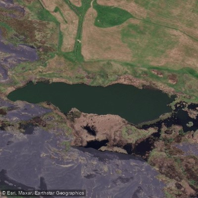
Tapuarau Lagoon
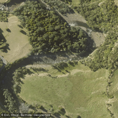
Manganuioteao River
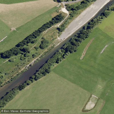
Manawatū River
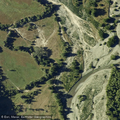
Pohangina River
Kahuterawa Stream
Explore Manawatū Whanganui waters
Top paddling waters
No waters available right now.
Popular Cities
Loading popular cities...
Explore near Whangaehu River

Smarter Paddling Starts in the App.
Paddleways gives you everything you need to plan smarter, paddle better, and own every trip from first launch to takeout.