Whanganui River

Whanganui River
- Boat Ramps
- 1
- Access Points
- 1
- Campsites
- 22
The Whanganui River in New Zealand's North Island stretches 290 kilometres and is the country's longest navigable waterway. It flows through Whanganui National Park, winding through steep-sided canyons, deep gorges, and dense native forest before reaching the Tasman Sea. The river holds significant cultural importance to Māori, who have travelled it for centuries, and it is the only river in New Zealand granted legal personhood. It is also one of New Zealand's ten Great Walks — uniquely, the only one completed by paddle rather than on foot.
The primary paddling route, known as the Whanganui Journey, runs 145 kilometres from Taumarunui (Cherry Grove) to Pipiriki and is typically completed in five days. A popular three-day option covers approximately 87–90 kilometres starting from Whakahoro, which is the last road access point before Pipiriki. Pipiriki serves as the main takeout for both the full and shortened journeys. The river is graded Class 2, with more than 200 rapids between Taumarunui and Pipiriki, though most drop less than one metre. Previous paddling experience is not essential, though the trip should only be attempted outside the Great Walks season (May through September) by those with considerable experience paddling remote New Zealand rivers in winter conditions.
The Great Walks season runs from 1 October through 30 April, during which hut and campsite bookings are required. Outside this period, facilities operate on a first-come, first-served basis. Huts and campsites are available along the route, including at Tīeke Kāinga, which is jointly managed by DOC and local Māori and where traditional customs (tikanga) are observed. There is a bunkroom and camping at Tīeke Kāinga for canoeists.
Notable points of interest along the route include the Mangapurua Landing, access point for the Bridge to Nowhere — a concrete road bridge constructed in the mid-1930s now surrounded entirely by native forest — and the carved timber pou whenua at Tīeke Kāinga. Within the national park, there is no road access; the river is the only way in. Wildlife along the banks includes ducks, cormorants, kingfishers, and wild goats. Both brown trout and rainbow trout can be caught in the river. The landscape transitions from farmland near the upper reaches to increasingly rugged, forested terrain deeper into the park.
Water access, boat ramps & amenities
Learn how to get on Whanganui River. Uncover great paddling access points, boat ramps, and all the facilities you need for an unforgettable day on the water. Some locations shown may border or include private property. Always check property boundaries and applicable regulations before visiting. PaddleWays's Public & Private Land layer can help you plan your access with confidence.
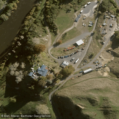
Paddle smarter with real-time insights
Whether you're en route and conditions shift or you're looking for the best spot based on current flows, we enable you to make informed decisions on the fly.







Manawatū Whanganui licenses and regulations
No licenses or regulations available for Manawatū Whanganui.
Find Places to Paddle

Over 400,000 Places to Paddle
Every user gets free access to launch points, boat ramps, and public property parcels.


Water and weather conditions (10 day forecast)
See the best times to paddle Whanganui River and check the forecast before you go.
No forecast data available.
Paddling near Whanganui River
Ōngarue River
Waikawau Beach
Mangatepopo Stream
Whakapapa River
Kiritehere Beach
Whakapapanui Stream
Mōkau River
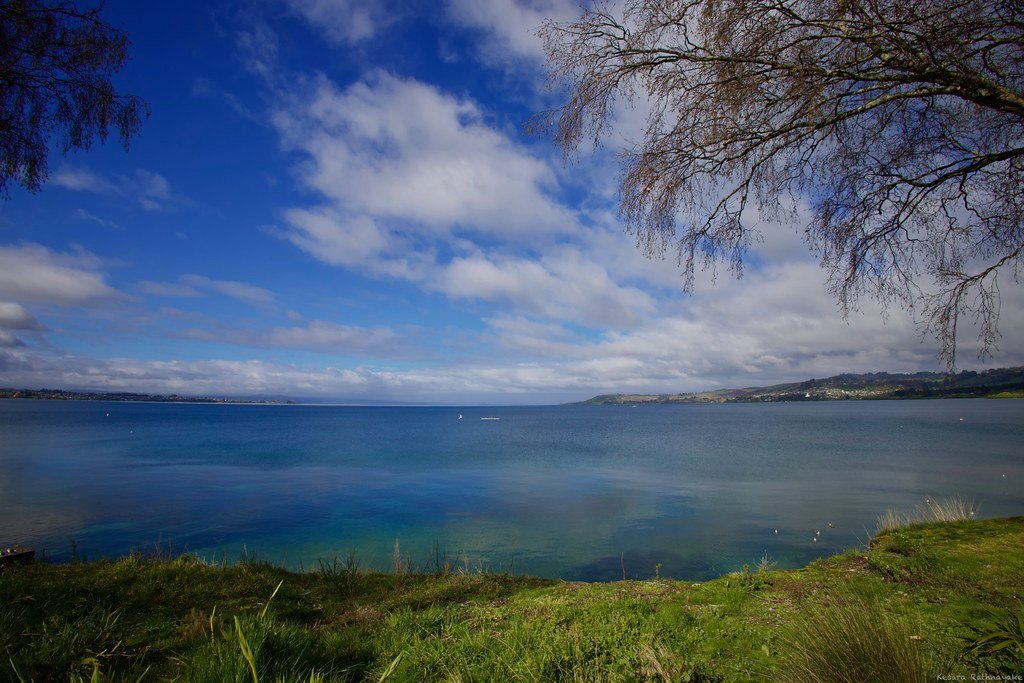
Lake Taupō
Manganuioteao River
Explore Manawatū Whanganui waters
Top paddling waters
No waters available right now.
Popular Cities
Loading popular cities...
Explore near Whanganui River
Access points
Nearby waters
More in Manawatū Whanganui

Smarter Paddling Starts in the App.
Paddleways gives you everything you need to plan smarter, paddle better, and own every trip from first launch to takeout.