Paddling in Mount Aspiring National Park
- National Park
- Lakes
- 25
- Rivers
- 39
- Access
- 0
- Boat Ramps
- 0
- Shops
- 0
Mount Aspiring National Park holds some of the South Island's most demanding and rewarding river country — glacier-fed, braided, and largely roadless.
The park spans roughly 3,500 square kilometres of the Southern Alps between Wānaka and Fiordland, and most of its rivers run deep into terrain that has no road access at all. That remoteness is the defining fact of paddling here.
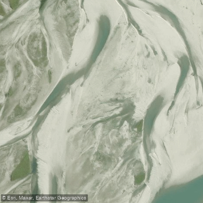
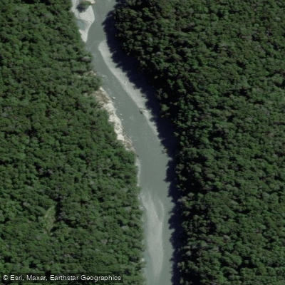
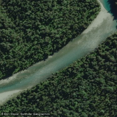
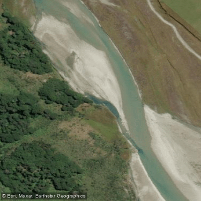
The Matukituki River is the most accessible entry point from Wānaka, draining the eastern flanks of Tititea / Mt Aspiring at 3,033 metres. It is shallow, fast, and braided — the kind of river that rearranges its channels after every flood.
Guided packraft trips run the West Branch at Grade 2, covering around 7 km of river after a hike into the valley.
The Dart River / Te Awa Whakatipu flows south toward Lake Whakatipu from the park's northern reaches, with side streams and the Rockburn chasm accessible by guided inflatable kayak from Glenorchy.
The Wilkin River and the Makarora River connect in the park's northeastern corner; jet boat operators use the Makarora as a highway into the Wilkin valley, which gives some sense of how far from a put-in these waters sit.
The Haast, Arawhata, Cascade, Pyke, Rees, Okuru, Burke, and Olivine rivers all rise within or drain through the park.
Several of these — particularly the Pyke, Olivine, and Cascade — are multi-day wilderness commitments with no road egress and serious consequence if conditions change.
Commercial operators running guided trips on park rivers require a DOC concession, issued by the Department of Conservation / Te Papa Atawhai.
Independent paddlers should check current DOC conditions before any trip; river levels in a glaciated alpine park can shift fast and without warning, and the distances involved make self-rescue a real calculation, not a footnote.
The park is part of Te Wāhipounamu — the South West New Zealand World Heritage Area. That status shapes how the rivers are managed and how lightly operators are expected to run.
Paddlers who come here independently carry the same obligation: the valley looks the way it does because the pressure on it has been kept low.
Water and weather conditions (10 day forecast)
See the best times to paddle Mount Aspiring National Park and check the forecast before you go.
No forecast data available.
Paddle smarter with real-time insights
Whether you're en route and conditions shift or you're looking for the best spot based on current flows, we enable you to make informed decisions on the fly.







Paddling near Mount Aspiring National Park
Loading...
Gateway towns
Where to base yourself for paddling in Mount Aspiring National Park.
- WānakaOtago
Main base for the park, with lodging, guides, outfitters, and easy access to the Matukituki Valley entrance.
- GlenorchyOtago
Southern gateway at the head of Lake Wakatipu, providing access to the Rees-Dart and Routeburn tracks.
- MakaroraOtago
Small settlement inside the park's northern boundary with accommodation, camping, and direct trailhead access.
- HaastWest Coast
Western gateway along the Haast corridor, with lodging and services for visitors entering from the West Coast.
Explore Mount Aspiring National Park
Top paddling waters
Popular Cities
Loading popular cities...

Smarter Paddling Starts in the App.
Paddleways gives you everything you need to plan smarter, paddle better, and own every trip from first launch to takeout.