Rees River
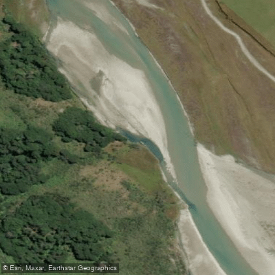
Rees River
- Boat Ramps
- 0
- Access Points
- 0
- Campsites
- 1
The Rees River flows through the Rees Valley in Otago, approximately 68 km northwest of Queenstown, within the Mt Aspiring National Park region. The river drains a glacial catchment flanked by the Forbes Mountains to the west and the Richardson Mountains to the east, offering a remote alpine setting with beech forest corridors along its lower reaches.
The river is commonly paddled in two distinct sections. The upper section, from around Twenty Five Mile Creek down to Muddy Creek, is rated Class I and is well suited to beginners and packrafters. This stretch consists of gentle braided channels with small wave trains and occasional shallow sections. The lower section, from Muddy Creek down to McDougals Creek and continuing to the Glenorchy Bridge, is rated Class II/III. The first three drops below Muddy Creek are consecutive and warrant scouting; all can be portaged on river right if needed. A drop known as "I'll Go If You Go" on the river right channel also merits inspection and is more manageable at higher flows. Below these initial rapids, the river eases into Class II fun rapids before exiting the beech forest corridor. The full run from put-in to the Glenorchy Bridge takes approximately four hours.
Because the Rees is glacially fed, flows rise noticeably during hot afternoons as snowmelt increases, and appropriate cold water clothing is essential. The river rises and falls faster than the nearby Dart River, which can be used as a rough gauge reference — flows on the Dart above 400 cumecs suggest caution on the lower Rees. Strainers in the beech forest corridor are the most significant hazard, and the braided gravel bars shift frequently after floods, meaning conditions can change between visits.
Access begins at the Muddy Creek Carpark. The road beyond Glenorchy involves fords and shallow creek crossings, making a 4WD preferable; 2WD access becomes particularly difficult after heavy rain. Shuttles are available from Queenstown and Glenorchy.
Jet boating is permitted on the Rees River from Lake Wakatipu to Muddy Creek during the period 30 October to 1 May, which paddlers on the lower river should be aware of when planning trips during that window.
Water access, boat ramps & amenities
Learn how to get on Rees River. Uncover great paddling access points, boat ramps, and all the facilities you need for an unforgettable day on the water. Some locations shown may border or include private property. Always check property boundaries and applicable regulations before visiting. PaddleWays's Public & Private Land layer can help you plan your access with confidence.
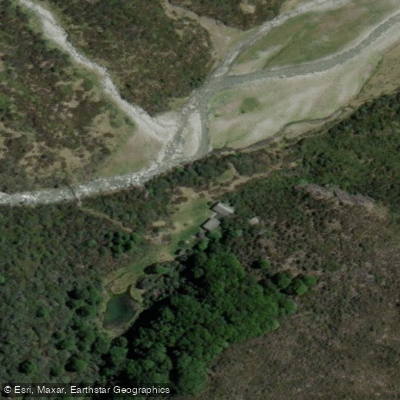
Paddle smarter with real-time insights
Whether you're en route and conditions shift or you're looking for the best spot based on current flows, we enable you to make informed decisions on the fly.







Otago licenses and regulations
No licenses or regulations available for Otago.
Find Places to Paddle

Over 400,000 Places to Paddle
Every user gets free access to launch points, boat ramps, and public property parcels.


Water and weather conditions (10 day forecast)
See the best times to paddle Rees River and check the forecast before you go.
No forecast data available.
Paddling near Rees River
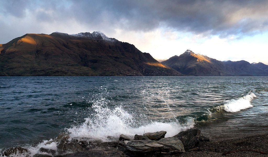
Lake Wakatipu
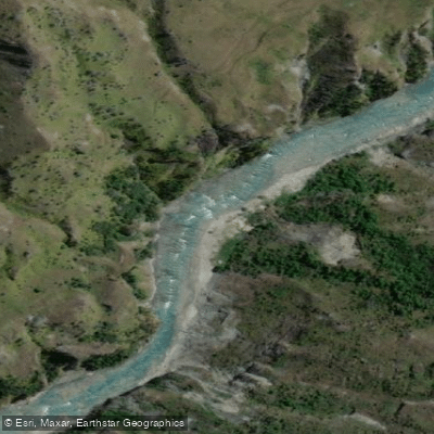
Shotover River
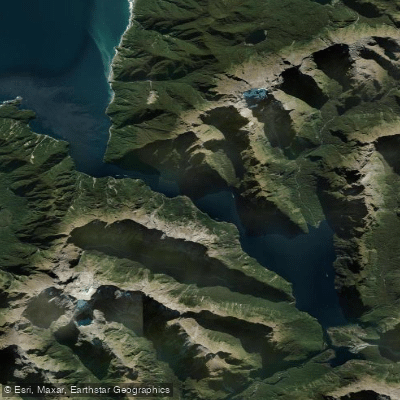
Milford Sound / Piopiotahi
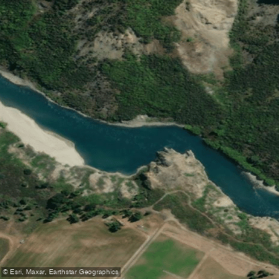
Kawarau River
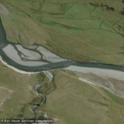
Greenstone River
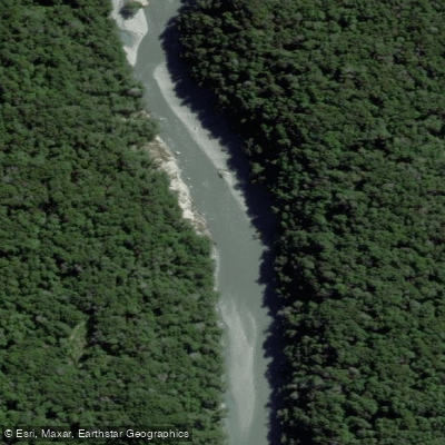
Dart River / Te Awa Whakatipu
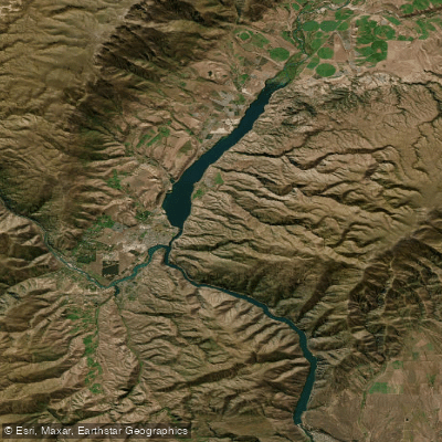
Lake Dunstan

Clutha River / Mata-Au
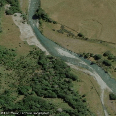
Caples River
Explore Otago waters
Top paddling waters
No waters available right now.
Popular Cities
Loading popular cities...
Explore near Rees River

Smarter Paddling Starts in the App.
Paddleways gives you everything you need to plan smarter, paddle better, and own every trip from first launch to takeout.