Arawhata River
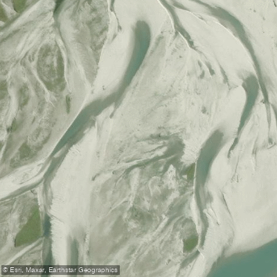
Arawhata River
- Boat Ramps
- 0
- Access Points
- 0
- Campsites
- 0
The Arawhata River runs through the West Coast region of New Zealand's South Island, draining the western flanks of the Southern Alps / Kā Tiritiri o te Moana. Its headwaters originate at Waipara Saddle at approximately 1,280 metres elevation within Mount Aspiring National Park, and the river travels roughly 60 kilometres northward before emptying into Jackson Bay / Okahu. The majority of land in the valley is publicly owned and administered by the Department of Conservation, with the lower valley grazed by cattle under grazing licences.
Glacial silt gives the water a distinctive opaque green to greyish colouration. The river is subject to rapid level rises owing to the high rainfall on the western side of the Southern Alps, and paddlers should be alert to this hazard. When the river runs brown and murky, conditions are likely flooding and difficulty increases significantly.
The standard take-out for paddlers is at the Arawhata River bridge, located approximately 35–40 kilometres south of Haast township along Jacksons Bay Road, with a lay-by on the south-west side of the bridge. The bridge is a common endpoint for those paddling the Jackson River, which joins the Arawhata near the mouth. At the confluence, the combined volume creates a notably large-volume river experience. There is a useful eddyline on river right beneath the Arawhata bridge. Jet boats also access the river, particularly downstream from Island Flat, so paddlers should be aware of this hazard.
For those seeking a longer route, the Ellery, Jackson, and Arawhata loop is a documented packrafting option. This trip begins with travel through the Smoothwater River and Ellery Creek before reaching Lake Ellery, then continues down the Jackson River to its confluence with the Arawhata, and finishes either at the Arawhata bridge or, for a longer day, at Neils Beach near the river mouth. The mouth option requires caution, as rough seas and swell can make conditions dangerous. The lower Arawhata can be slow-moving, and afternoon headwinds are a noted factor on this stretch.
Access to the upper reaches of the valley is restricted by Ten Hour Gorge, though jet boats can travel upriver. The nearest services are at Haast, where the Hard Antler pub provides food and drink, and the The Craypot at Jackson Bay offers seafood when open.
Water access, boat ramps & amenities
Learn how to get on Arawhata River. Uncover great paddling access points, boat ramps, and all the facilities you need for an unforgettable day on the water. Some locations shown may border or include private property. Always check property boundaries and applicable regulations before visiting. PaddleWays's Public & Private Land layer can help you plan your access with confidence.
Paddle smarter with real-time insights
Whether you're en route and conditions shift or you're looking for the best spot based on current flows, we enable you to make informed decisions on the fly.







West Coast licenses and regulations
No licenses or regulations available for West Coast.
Find Places to Paddle

Over 400,000 Places to Paddle
Every user gets free access to launch points, boat ramps, and public property parcels.


Water and weather conditions (10 day forecast)
See the best times to paddle Arawhata River and check the forecast before you go.
No forecast data available.
Paddling near Arawhata River
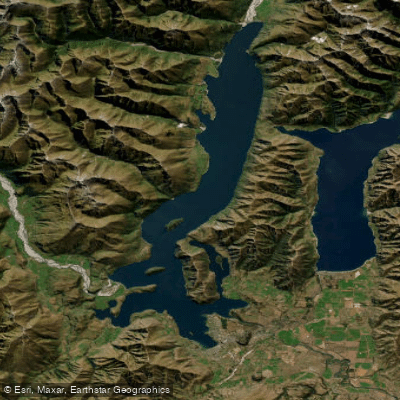
Lake Wānaka
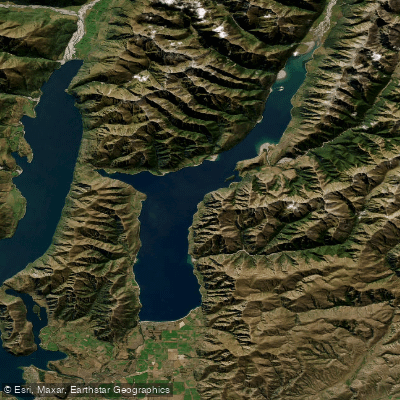
Lake Hāwea
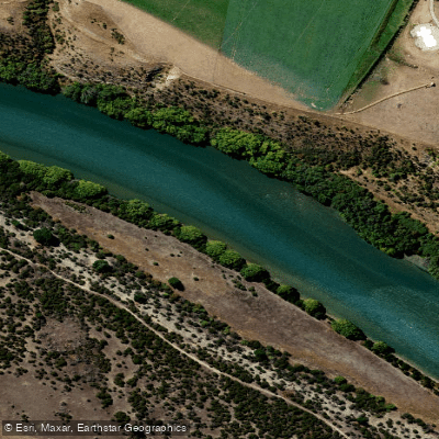
Clutha River / Mata-Au
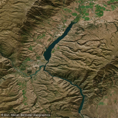
Lake Dunstan
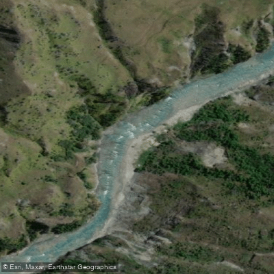
Shotover River

Clutha River / Mata-Au
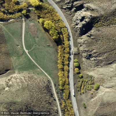
Lindis River
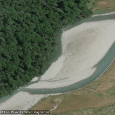
Makarora River
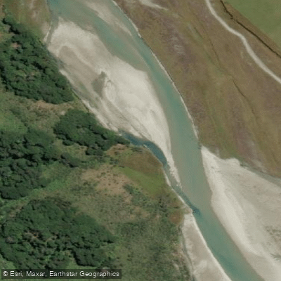
Rees River
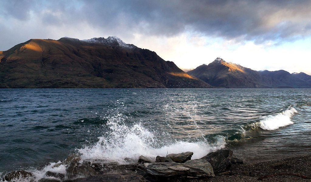
Lake Wakatipu
Explore West Coast waters
Top paddling waters
No waters available right now.
Popular Cities
Loading popular cities...
Explore near Arawhata River

Smarter Paddling Starts in the App.
Paddleways gives you everything you need to plan smarter, paddle better, and own every trip from first launch to takeout.