Dart River / Te Awa Whakatipu
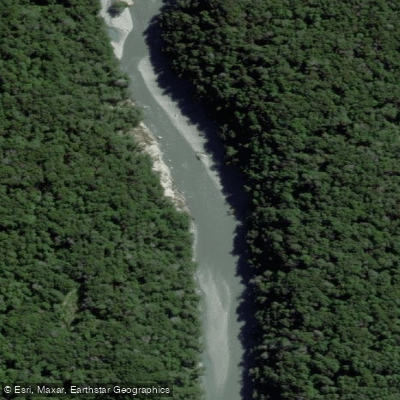
Dart River / Te Awa Whakatipu
- Boat Ramps
- 0
- Access Points
- 0
- Campsites
- 2
The Dart River / Te Awa Whakatipu flows south-southwest for 60 kilometres from its headwaters at the Dart Glacier in the Southern Alps, passing through Mount Aspiring National Park before emptying into the northern end of Lake Wakatipu near Glenorchy, roughly 68 kilometres from Queenstown. The river is glacially fed, which gives it notably clear water and a faster flow with greater volume than neighbouring rivers such as the Rees. Its braided character is typical of glacial rivers in this part of the South Island, with the channel weaving across a wide valley floor flanked by towering, snow-capped peaks and native beech forest.
For paddlers, the river is generally rated Class I/II, featuring wave trains, some Class II rapids, and stretches of flatwater including a newly formed lake. The glacial source means water levels and speed are influenced by snowmelt and seasonal temperatures, with flows potentially lower during dry summer spells. The road to the Dart Track car park, located approximately 76 kilometres northwest of Queenstown, involves fords and shallow creek crossings, making it unsuitable for standard rental vehicles even though 2WD vehicles can otherwise manage the route.
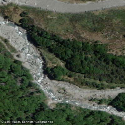
A common paddling approach involves setting up at the swing bridge after hiking in, then floating downstream. From the car park, a mostly flat trail with some challenging sections leads approximately seven hours to Daleys Flat Hut, making an overnight trip a practical option. The pull-out point is located about a hundred metres from the car park. Shuttle arrangements are possible for those not returning the same way.
The river valley sits within the Te Wāhipounamu – South West New Zealand UNESCO World Heritage Area. The surrounding landscape includes dramatic chasms, hidden side streams, and rock pools accessible from the water. The Rees-Dart Track, a multi-day tramping circuit, also passes through the valley, so paddlers should expect some foot traffic in the area. Commercial jet boat operations run on the river, which is worth factoring into trip planning, particularly on the lower sections closer to Glenorchy.
Water access, boat ramps & amenities
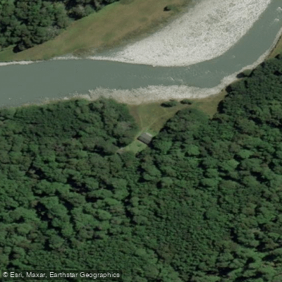
Learn how to get on Dart River / Te Awa Whakatipu. Uncover great paddling access points, boat ramps, and all the facilities you need for an unforgettable day on the water. Some locations shown may border or include private property. Always check property boundaries and applicable regulations before visiting. PaddleWays's Public & Private Land layer can help you plan your access with confidence.
Paddle smarter with real-time insights
Whether you're en route and conditions shift or you're looking for the best spot based on current flows, we enable you to make informed decisions on the fly.







Otago licenses and regulations
No licenses or regulations available for Otago.
Find Places to Paddle

Over 400,000 Places to Paddle
Every user gets free access to launch points, boat ramps, and public property parcels.


Water and weather conditions (10 day forecast)
See the best times to paddle Dart River / Te Awa Whakatipu and check the forecast before you go.
No forecast data available.
Paddling near Dart River / Te Awa Whakatipu
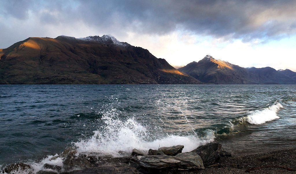
Lake Wakatipu
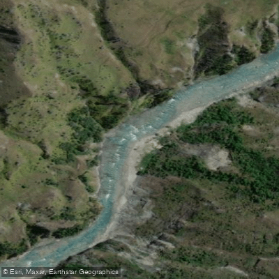
Shotover River
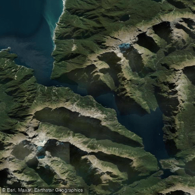
Milford Sound / Piopiotahi
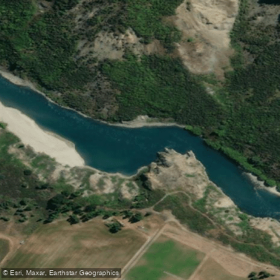
Kawarau River
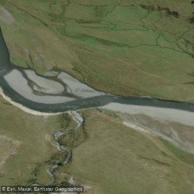
Greenstone River
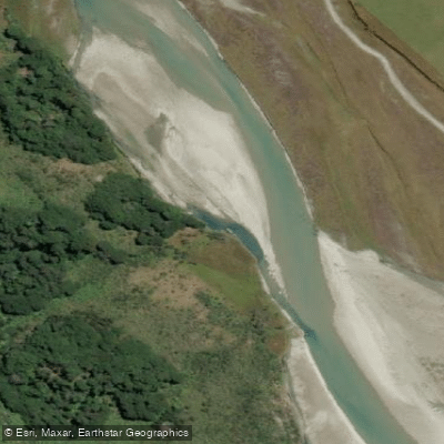
Rees River
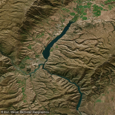
Lake Dunstan

Clutha River / Mata-Au
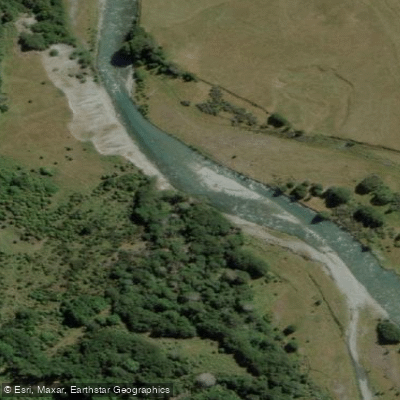
Caples River
Explore Otago waters
Top paddling waters
No waters available right now.
Popular Cities
Loading popular cities...
Explore near Dart River / Te Awa Whakatipu

Smarter Paddling Starts in the App.
Paddleways gives you everything you need to plan smarter, paddle better, and own every trip from first launch to takeout.