Paddling in Whanganui National Park
- National Park
- Lakes
- 0
- Rivers
- 12
- Access
- 0
- Boat Ramps
- 0
- Shops
- 0
The Whanganui River is the paddling heart of this park — a long, navigable river cutting through the central North Island between Taumarunui in the north and the town of Whanganui in the south, winding through deep gorges and dense native forest.
The park was created largely to protect this river and its tributaries, and the water shapes everything about how you experience it. The Whanganui Journey is the route that defines paddling here.
At 145 km one way — or 88 km for the more commonly run section from Whakahoro to Pipiriki — it is New Zealand's only riverine Great Walk, and the only one done entirely by paddle.
The river is graded 1 and 2, with more than 200 rapids along its length, none of which demand technical whitewater skills.
That said, this is not a beginner's float trip: the remoteness, multi-day commitment, and variable flows mean you need real paddling experience, solid fitness, and the judgment to manage a loaded canoe in moving water.
DOC requires that paddlers be confident swimmers, travel in groups of at least two, and be over ten years of age. Timing matters on this river. The Great Walks season runs 1 October through 30 April, when hut and campsite bookings through DOC are required.
Outside that window — May through September — the river is quieter and the huts are first-come, first-served, but DOC is direct: attempt it in winter only if you are very experienced in remote New Zealand rivers in winter conditions.
Canadian canoes are the traditional choice here, and most hire operators on the river stock them for multi-day trips. Sit-on-top kayaks are available for odd-sized groups or those wanting more gear storage.
Guided trips run from one to five days and are the right call for solo travellers or anyone uncertain about their skills. The Whanganui River was granted legal personhood in 2017 — the first river in the world to receive that status.
Paddling it carries that weight. The water moves through a landscape the Māori have navigated for centuries, and the park exists in part because of that relationship. Treat the river accordingly.
Top waters to paddle near Whanganui National Park

Whanganui River
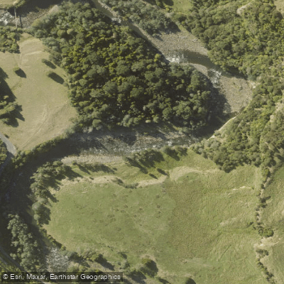
Manganuioteao River
Mangaio Stream

Mangapapa Stream
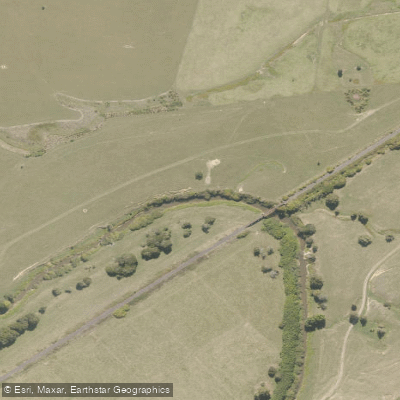
Ōhura River
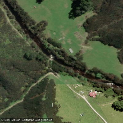
Tāngarākau River
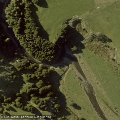
Retaruke River
Heao Stream
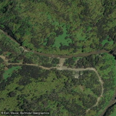
Whangamōmona River
Omaru Stream
Water and weather conditions (10 day forecast)
See the best times to paddle Whanganui National Park and check the forecast before you go.
No forecast data available.
Paddle smarter with real-time insights
Whether you're en route and conditions shift or you're looking for the best spot based on current flows, we enable you to make informed decisions on the fly.







Paddling near Whanganui National Park
Loading...
Gateway towns
Where to base yourself for paddling in Whanganui National Park.
- TaumarunuiManawatū-Whanganui
Northern gateway with shuttles, canoe hire, and the main put-in for the Whanganui River Journey.
- WhanganuiManawatū-Whanganui
Southern base with bus connections, outfitters, and lodging for river trips ending at the lower park.
- PipirikiManawatū-Whanganui
Small riverside settlement and key access point directly on the Whanganui River inside the park.
- WhakahoroManawatū-Whanganui
Remote northern river gateway and popular launch point for multi-day canoe journeys downstream.
- OhakuneManawatū-Whanganui
Nearby town offering lodging and access to park walks and the Whanganui River Journey.
Explore Whanganui National Park
Top paddling waters
Popular Cities
Loading popular cities...

Smarter Paddling Starts in the App.
Paddleways gives you everything you need to plan smarter, paddle better, and own every trip from first launch to takeout.