Mangaio Stream
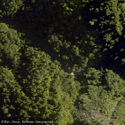
Mangaio Stream
- Boat Ramps
- 0
- Access Points
- 0
- Campsites
- 0
Mangaio Stream is a tributary entering the Whanganui River within Whanganui National Park on New Zealand's North Island. It is encountered during the lower section of the classic Whanganui River Journey, typically on the final day of multi-day canoe trips paddling downstream toward Pipiriki. The stream sits in close proximity to Mangaio Rock, where several original iron eyebolts remain embedded in the cliffs — relics of the era when riverboats used them as winching points to navigate the Whanganui gorge.
The stream's most notable feature for paddlers is its narrow ravine, which conceals a rock amphitheatre approximately 100 metres from the river mouth. The entrance from the Whanganui is narrow enough that the amphitheatre is not visible from the main river, making it easy to miss. Paddlers who venture up the stream are rewarded with a dramatic enclosed rock formation. The ravine itself is tight, and the short paddle in is well worth the detour according to those who have made the trip.
Mangaio Stream is not a standalone paddling destination but rather a side excursion accessed while travelling the Whanganui River. It lies downstream of John Coull Hut and Campsite and upstream of the Pururoto Caves and Autapu Rapid, placing it in the deeper gorge section of the river. This stretch of the Whanganui passes through steep, forested terrain accessible only by water, foot, or helicopter, so paddlers should be self-sufficient and prepared for remote conditions.
The Whanganui River Journey season runs from mid-September to mid-April, which reflects the broader paddling window for this section of river. Guided tours operating on the Whanganui regularly point out Mangaio Stream as a landmark and encourage paddlers to explore it briefly before continuing downstream.
Water access, boat ramps & amenities
Learn how to get on Mangaio Stream. Uncover great paddling access points, boat ramps, and all the facilities you need for an unforgettable day on the water. Some locations shown may border or include private property. Always check property boundaries and applicable regulations before visiting. PaddleWays's Public & Private Land layer can help you plan your access with confidence.
Paddle smarter with real-time insights
Whether you're en route and conditions shift or you're looking for the best spot based on current flows, we enable you to make informed decisions on the fly.







Manawatū Whanganui licenses and regulations
No licenses or regulations available for Manawatū Whanganui.
Find Places to Paddle

Over 400,000 Places to Paddle
Every user gets free access to launch points, boat ramps, and public property parcels.


Water and weather conditions (10 day forecast)
See the best times to paddle Mangaio Stream and check the forecast before you go.
No forecast data available.
Paddling near Mangaio Stream
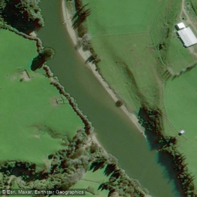
Pātea River
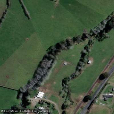
Waiongana Stream
South Taranaki Bight
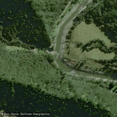
Waitara River
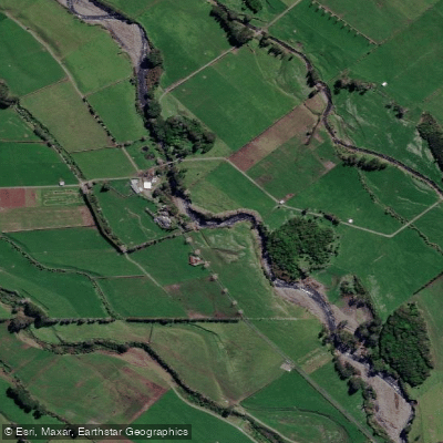
Stony River (Hangatahua)
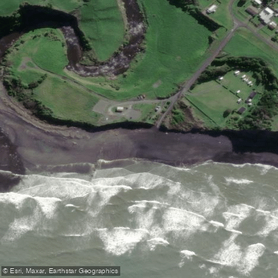
Ōhawe Beach

Whanganui River
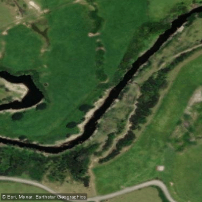
Mangaehu Stream
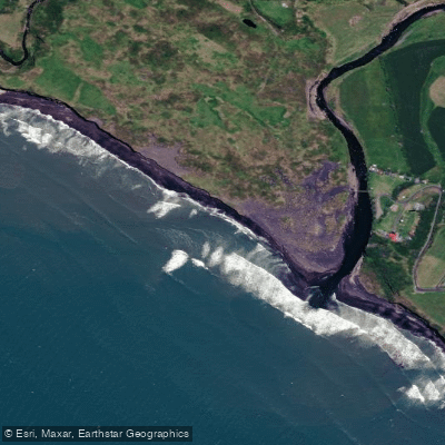
Kaupokonui Beach
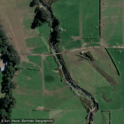
Mangawhero Stream
Explore Manawatū Whanganui waters
Top paddling waters
No waters available right now.
Popular Cities
Loading popular cities...
Explore near Mangaio Stream

Smarter Paddling Starts in the App.
Paddleways gives you everything you need to plan smarter, paddle better, and own every trip from first launch to takeout.