Manganuioteao River
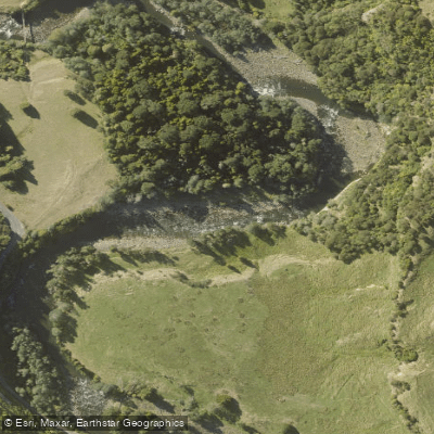
Manganuioteao River
- Boat Ramps
- 0
- Access Points
- 0
- Campsites
- 1
The Manganuioteao River flows south from the central North Island of New Zealand through rugged country and steep limestone cuts, with Mt. Ruapehu visible in the distance. The river runs through dense native bush and is characterized by a single-braid channel that is considered very scenic.
For whitewater paddlers, the river is rated Grade 3–4, with the standard run putting in at Hoihenga Bridge and taking out at Ruatiti Domain, covering approximately 8.5 km in 2–3 hours. The river can be paddled at any level, though high flow is considered best. A gauge is located at Ruatiti Domain.
The river features a diverse sequence of pools, runs, and rapids. The water is high quality, fed by snowmelt and glacial runoff from the surrounding volcanic terrain. Large boulders, overhanging bush, deep pools, and papa (mudstone) ledges define the character of the river corridor. Insect life is notably abundant, which supports healthy fish populations and contributes to the overall ecological richness of the waterway.
The Manganuioteao also has significance as a tributary of the Whanganui River. Paddlers on the Whanganui Journey pass the scenic gorge of the Manganuioteao confluence, and the area near that junction precedes several large rapids on the Whanganui, including Ngāporo and Autapu.
Wildlife of note includes whio (blue duck), and paddlers are encouraged to watch for them and avoid disturbing them. The river corridor supports a healthy riparian ecosystem with native bush lining the banks throughout.
Visitor numbers to the river are relatively low, meaning access to quality water is generally available. The combination of technical whitewater, scenic surroundings, and abundant wildlife makes this a worthwhile destination for intermediate to advanced paddlers seeking a less-trafficked North Island river experience.
Water access, boat ramps & amenities
Learn how to get on Manganuioteao River. Uncover great paddling access points, boat ramps, and all the facilities you need for an unforgettable day on the water. Some locations shown may border or include private property. Always check property boundaries and applicable regulations before visiting. PaddleWays's Public & Private Land layer can help you plan your access with confidence.
Paddle smarter with real-time insights
Whether you're en route and conditions shift or you're looking for the best spot based on current flows, we enable you to make informed decisions on the fly.







Manawatū Whanganui licenses and regulations
No licenses or regulations available for Manawatū Whanganui.
Find Places to Paddle

Over 400,000 Places to Paddle
Every user gets free access to launch points, boat ramps, and public property parcels.


Water and weather conditions (10 day forecast)
See the best times to paddle Manganuioteao River and check the forecast before you go.
No forecast data available.
Paddling near Manganuioteao River

Whanganui River
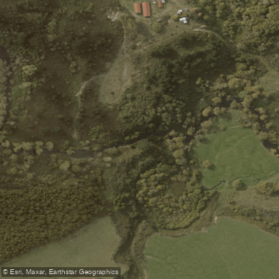
Ōngarue River
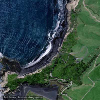
Waikawau Beach
Mangatepopo Stream
Whakapapa River
Kiritehere Beach
Whakapapanui Stream
Mōkau River
Lake Taupō
Explore Manawatū Whanganui waters
Top paddling waters
No waters available right now.
Popular Cities
Loading popular cities...
Explore near Manganuioteao River
Access points
Nearby waters
More in Manawatū Whanganui

Smarter Paddling Starts in the App.
Paddleways gives you everything you need to plan smarter, paddle better, and own every trip from first launch to takeout.