Pātea River
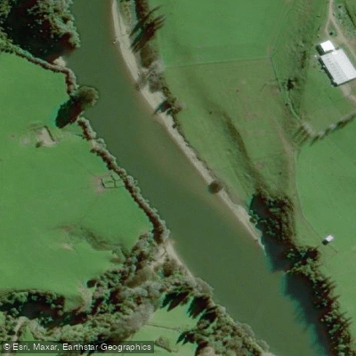
Pātea River
- Boat Ramps
- 0
- Access Points
- 0
- Campsites
- 4
The Pātea River runs 105 kilometres through the Taranaki region of New Zealand's North Island, originating on the eastern slopes of Mount Taranaki and passing east through Stratford before turning south to reach the South Taranaki Bight near the town of Pātea. It holds the distinction of being the only navigable river in South Taranaki, and canoeing is a well-established activity on the waterway.
A significant feature of the river is the Pātea Dam, an 82-metre earth-fill structure that ranks as the fourth highest dam in New Zealand. The dam creates Lake Rotorangi, a 46-kilometre-long reservoir that is New Zealand's longest man-made lake and a popular recreational destination. Paddlers accessing Lake Rotorangi have three boat ramps available: Glen Nui, Pātea Dam, and Pukekino Landing. Ramp usability is dependent on lake levels — Glen Nui is accessible between 75.5 m and 78 m, while Pātea Dam and Pukekino Landing are usable when the lake level sits between 74.5 m and 78 m.
Lake Rotorangi presents genuine hazards that paddlers should be aware of. Areas of shallow water and submerged obstacles exist throughout the lake, and these become more pronounced during periods of low lake levels. Hazard maps produced from a 2011 survey are available from Manawa Energy and identify the specific areas of concern for boating.
The river carries considerable historical and cultural weight, having served as the original route into South Taranaki for both Māori and European settlers. During the early colonial period, the Pātea River marked the administrative boundary between the New Ulster and New Munster Provinces from 1841 to 1853.
Water access, boat ramps & amenities
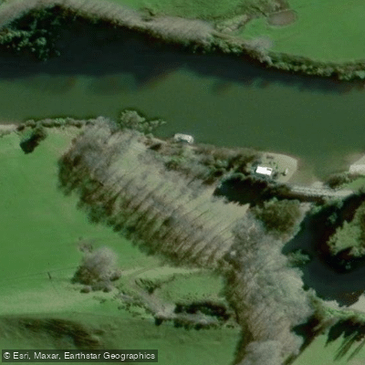
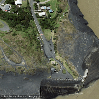
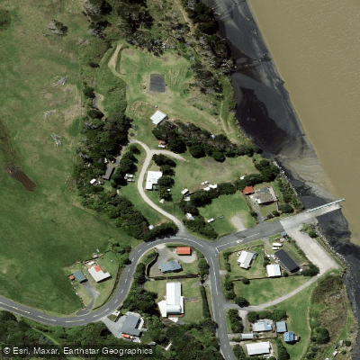
Learn how to get on Pātea River. Uncover great paddling access points, boat ramps, and all the facilities you need for an unforgettable day on the water. Some locations shown may border or include private property. Always check property boundaries and applicable regulations before visiting. PaddleWays's Public & Private Land layer can help you plan your access with confidence.
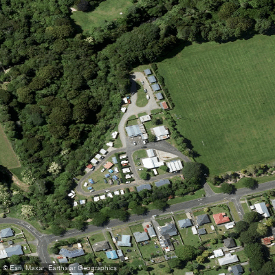
Paddle smarter with real-time insights
Whether you're en route and conditions shift or you're looking for the best spot based on current flows, we enable you to make informed decisions on the fly.







Taranaki licenses and regulations
No licenses or regulations available for Taranaki.
Find Places to Paddle

Over 400,000 Places to Paddle
Every user gets free access to launch points, boat ramps, and public property parcels.


Water and weather conditions (10 day forecast)
See the best times to paddle Pātea River and check the forecast before you go.
No forecast data available.
Paddling near Pātea River
Waiongana Stream
South Taranaki Bight
Waitara River
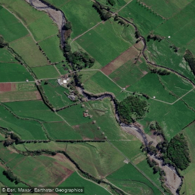
Stony River (Hangatahua)
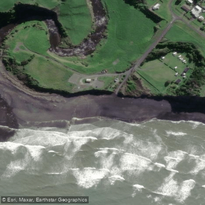
Ōhawe Beach

Whanganui River
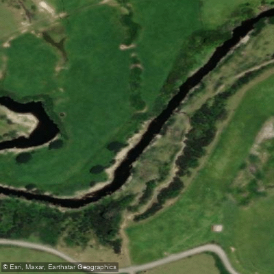
Mangaehu Stream
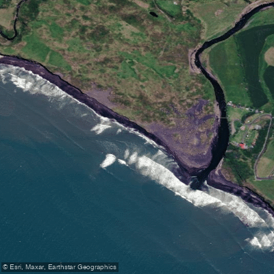
Kaupokonui Beach
Mangawhero Stream
Explore Taranaki waters
Top paddling waters
No waters available right now.
Popular Cities
Loading popular cities...
Explore near Pātea River

Smarter Paddling Starts in the App.
Paddleways gives you everything you need to plan smarter, paddle better, and own every trip from first launch to takeout.