Waitara River
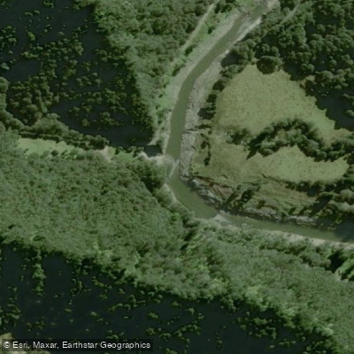
Waitara River
- Boat Ramps
- 0
- Access Points
- 0
- Campsites
- 0
The Waitara River is located in the Taranaki region of New Zealand's North Island and offers a popular whitewater paddling experience that requires recent rainfall to run well. Due to its larger catchment area compared to other Taranaki rivers, the Waitara holds its level for longer after rainfall — typically a few days — making it more accessible than steeper local runs like the Kiri or Mangorei.
The main run begins at Hole in the Hedge and finishes at either Spargo Road (9.5 km) or Bertrand Road Bridge (12 km). The section from Hole in the Hedge to Spargo Road is rated Class II/III and is considered high quality when flows are adequate. Note that the final 2.5 km between Spargo Road and Bertrand Road Bridge is flat water, and the Spargo Road takeout involves a 300-metre uphill carry. The lower section, continuing from Spargo Road past Bertrand Road down to Mamaku Road, is a Grade II run. The recommended gauge reading for the Waitara is 50 or more cumecs, measured at the Bertrand Road gauge.
The river passes through a varied landscape that includes native bush, cliff faces, and farmland. The historic Bertrand Road Suspension Bridge is a notable landmark along the route. The river is suitable for paddlers with some experience, and guided kayak tours are available for those less familiar with the river, including families with children as young as 8–10 years old. Guided trips have included activities such as a grass slide on kayaks and jumping from a platform near the bridge.
Access to the Manganui River via the Hole in the Hedge put-in is also available, and access off Manganui Road provides an additional entry option. Paddlers planning a trip should monitor the river gauge closely, as the river needs sufficient recent rainfall to be worthwhile. The Taranaki region's climate means rainfall can occur year-round, but paddlers should check flow conditions before committing to a run.
Water access, boat ramps & amenities
Learn how to get on Waitara River. Uncover great paddling access points, boat ramps, and all the facilities you need for an unforgettable day on the water. Some locations shown may border or include private property. Always check property boundaries and applicable regulations before visiting. PaddleWays's Public & Private Land layer can help you plan your access with confidence.
Paddle smarter with real-time insights
Whether you're en route and conditions shift or you're looking for the best spot based on current flows, we enable you to make informed decisions on the fly.







Taranaki licenses and regulations
No licenses or regulations available for Taranaki.
Find Places to Paddle

Over 400,000 Places to Paddle
Every user gets free access to launch points, boat ramps, and public property parcels.


Water and weather conditions (10 day forecast)
See the best times to paddle Waitara River and check the forecast before you go.
No forecast data available.
Paddling near Waitara River
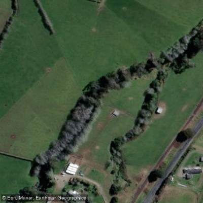
Waiongana Stream
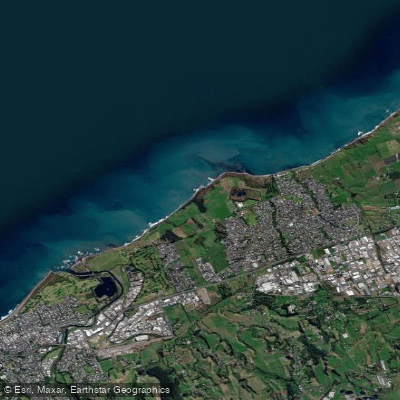
Bell Block Beach
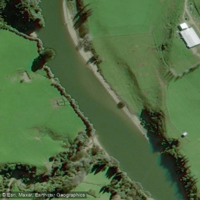
Pātea River
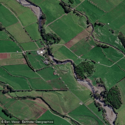
Stony River (Hangatahua)
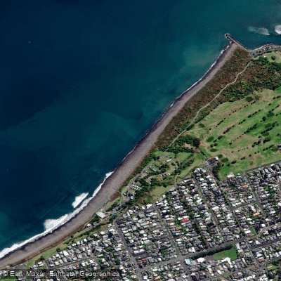
Fitzroy Beach
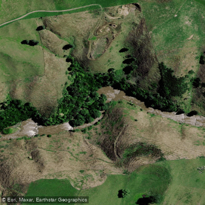
Mōkau River

Whanganui River
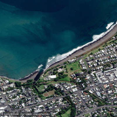
Autere / East End Beach
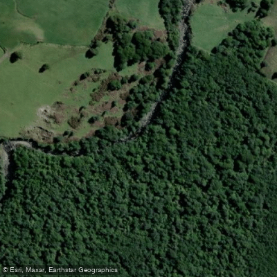
Kai Auahi Stream
Explore Taranaki waters
Top paddling waters
No waters available right now.
Popular Cities
Loading popular cities...
Explore near Waitara River

Smarter Paddling Starts in the App.
Paddleways gives you everything you need to plan smarter, paddle better, and own every trip from first launch to takeout.