Stony River (Hangatahua)
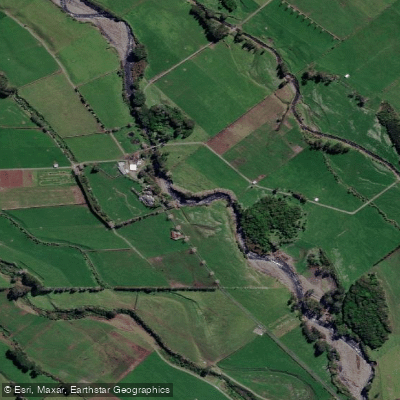
Stony River (Hangatahua)
- Boat Ramps
- 0
- Access Points
- 0
- Campsites
- 0
The Hangatahua River, also known as the Stony River, flows from the slopes of Mount Taranaki (Taranaki Maunga) in the Taranaki Region of New Zealand's North Island, draining the northwest sector of the mountain as well as the southern flank of the Pouakai Range and the Ahukawakawa Swamp. The river travels approximately 16 kilometres before emptying into the Tasman Sea, forming the administrative boundary between New Plymouth District and South Taranaki District along much of its course. Its upper reaches lie within Egmont National Park, with the source originating at around 2,100 metres elevation.
The riverbed is characterised by smooth grey volcanic stones carried down from Mount Taranaki, which give the river its English name. The Hangatahua has a reputation as one of the cleaner rivers in the Taranaki region and was the first river in New Zealand to be granted a Local Water Conservation Notice, in 1985. However, since 1997, significant erosion and land instability in the headwaters have periodically introduced high sediment loads, which has affected water clarity and quality at times.
Access to different sections of the river varies. The lower river can be reached from the SH45 bridge, through farmland off lower Kaihihi Road, or through farmland at the end of Brophy Road, though landowner permission is required for the latter. The middle reaches are accessible via the Stony River Walkway off upper Kaihihi Road and from the Mangatete Road Bridge. The upper river is reached from the Wiremu Road bridge off Saunders Road, or from the top of Saunders or Puniho Roads. The nearby town of Ōkato serves as a practical base, located approximately 25 minutes south of New Plymouth.
The river corridor passes through lowland bush dominated by kohekohe and kawakawa, with open views of Taranaki Maunga on clear days. The area carries considerable cultural significance, with evidence of historical Māori settlement including the Ngaweka Pa site near the William Corbett Scenic Reserve. Paddlers should be aware that some access routes cross private farmland and that electric fences are present in places. The Kaihihi Stream, a tributary in the lower section, becomes impassable after heavy rain.
Water access, boat ramps & amenities
Learn how to get on Stony River (Hangatahua). Uncover great paddling access points, boat ramps, and all the facilities you need for an unforgettable day on the water. Some locations shown may border or include private property. Always check property boundaries and applicable regulations before visiting. PaddleWays's Public & Private Land layer can help you plan your access with confidence.
Paddle smarter with real-time insights
Whether you're en route and conditions shift or you're looking for the best spot based on current flows, we enable you to make informed decisions on the fly.







Taranaki licenses and regulations
No licenses or regulations available for Taranaki.
Find Places to Paddle

Over 400,000 Places to Paddle
Every user gets free access to launch points, boat ramps, and public property parcels.


Water and weather conditions (10 day forecast)
See the best times to paddle Stony River (Hangatahua) and check the forecast before you go.
No forecast data available.
Paddling near Stony River (Hangatahua)
Waiongana Stream
Waitara River
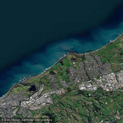
Bell Block Beach
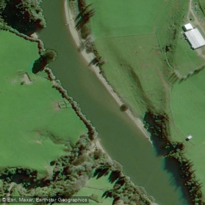
Pātea River
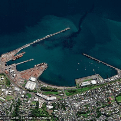
Port Taranaki
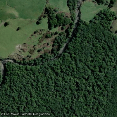
Kai Auahi Stream
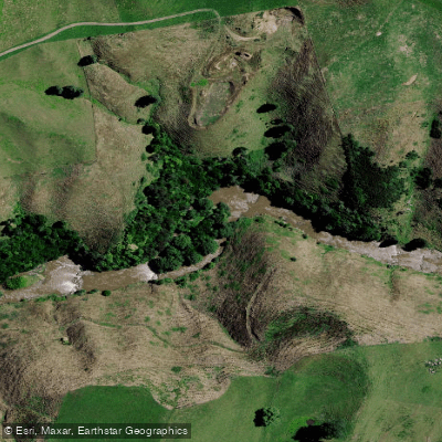
Mōkau River
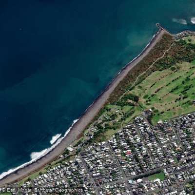
Fitzroy Beach

Whanganui River
Explore Taranaki waters
Top paddling waters
No waters available right now.
Popular Cities
Loading popular cities...
Explore near Stony River (Hangatahua)

Smarter Paddling Starts in the App.
Paddleways gives you everything you need to plan smarter, paddle better, and own every trip from first launch to takeout.