Ruamahanga River
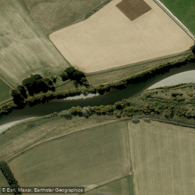
Ruamahanga River
- Boat Ramps
- 0
- Access Points
- 0
- Campsites
- 1
The Ruamahanga River rises in the Tararua Range and drains southward for over 120 kilometres past Masterton before entering the sea at Lake Ferry via Lake Onoke. The river offers a range of paddling character across its length, from a technical gorge run in the upper reaches to broader, braided farmland sections further downstream.
The upper gorge section between Cleft Creek and Mt Bruce is a nine-kilometre run rated Grade II to II+, with rapids pushing to Grade III at higher flows. The river through the gorge consists of boulder gardens, pool drops, and some bedrock features. One solid Grade III rapid sits roughly halfway through the gorge. Paddlers should be aware that not all rapids can be portaged due to the narrow gorge walls, and there are no obvious exit points on the true right to the DOC walking track, though emergency scrambles out are possible in a few places. Log jams are a potential hazard and conditions can change between trips. Paddlers are advised to always have an eddy in sight before rounding blind corners. There is no take-out at the Mt Bruce Bridge on State Highway 2, as the river runs deeply incised in a narrow gorge beneath the bridge. Access to the put-in requires permission from the farmer near the start of the walking track.
An overnight option begins at Putara Road End, following the Roaring Stag Track approximately 7km (about 4 hours, with 568m of ascent) to a 12-bunk DOC hut, then floating or walking 3.5km down the valley to Cleft Stream before paddling out to Mt Bruce.
Below the gorge, the river begins to braid and willows appear as the land opens into farmland. There are boating restrictions on certain middle sections: the stretch between Wardells Bridge and Te Ore Ore Bridge is closed to boating at all times, while the Gladstone to Wardells section is closed from 1 October to 14 May. Paddlers should consult current regulations before planning trips on the middle reaches.
Water quality at the Double Bridges site near Masterton (north of Masterton, downstream of the road and rail bridges on Opaki Kaiparoro Road) is monitored by Greater Wellington Regional Council as part of their Recreational Water Quality Programme. A boat ramp with good launching facilities exists near the Ruamahanga River Boat Club in the lower reaches, approximately 400 metres upstream of the Geoffrey Blundell barrage gates.
Water access, boat ramps & amenities
Learn how to get on Ruamahanga River. Uncover great paddling access points, boat ramps, and all the facilities you need for an unforgettable day on the water. Some locations shown may border or include private property. Always check property boundaries and applicable regulations before visiting. PaddleWays's Public & Private Land layer can help you plan your access with confidence.
Paddle smarter with real-time insights
Whether you're en route and conditions shift or you're looking for the best spot based on current flows, we enable you to make informed decisions on the fly.







Wellington licenses and regulations
No licenses or regulations available for Wellington.
Find Places to Paddle

Over 400,000 Places to Paddle
Every user gets free access to launch points, boat ramps, and public property parcels.


Water and weather conditions (10 day forecast)
See the best times to paddle Ruamahanga River and check the forecast before you go.
Floodway at Hikinui Sill
All Flow Stations
Paddling near Ruamahanga River
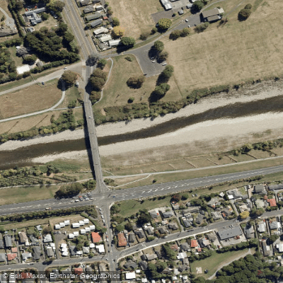
Te Awa Kairangi / Hutt River
Tauwharenīkau River
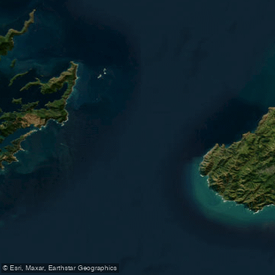
Te Moana-o-Raukawa / Cook Strait
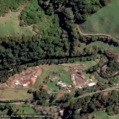
Waikanae River
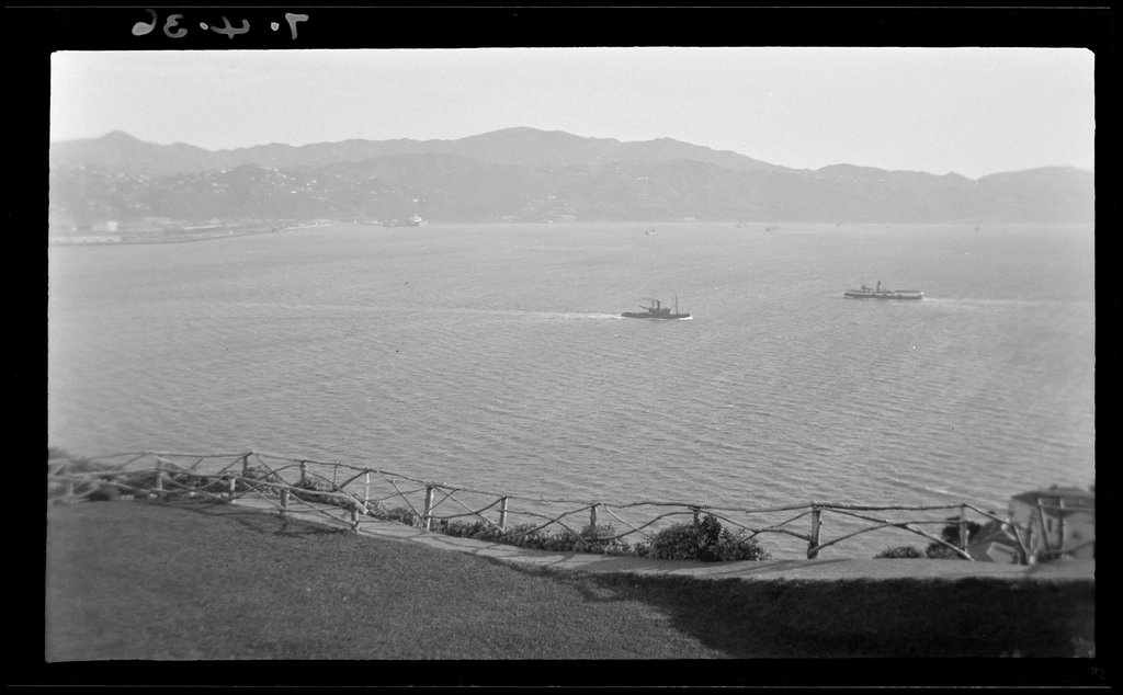
Wellington Harbour / Port Nicholson
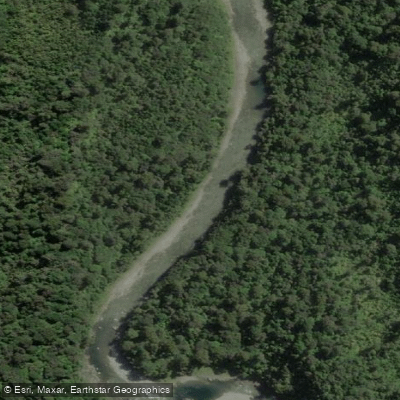
Waiohine River
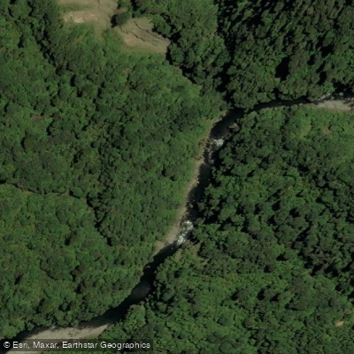
Ōtaki River
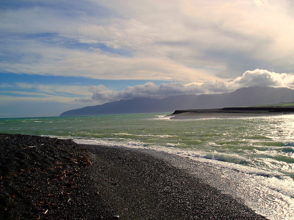
Palliser Bay
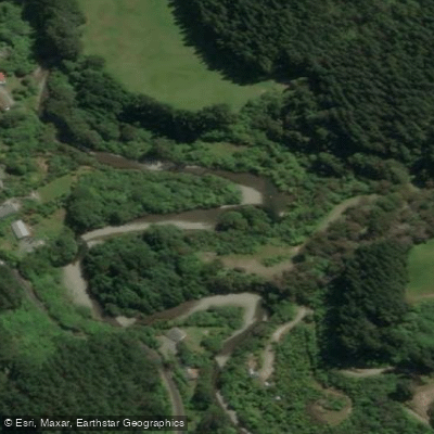
Akatarawa River
Explore Wellington waters
Top paddling waters
No waters available right now.
Popular Cities
Loading popular cities...
Explore near Ruamahanga River

Smarter Paddling Starts in the App.
Paddleways gives you everything you need to plan smarter, paddle better, and own every trip from first launch to takeout.