Ōtaki River
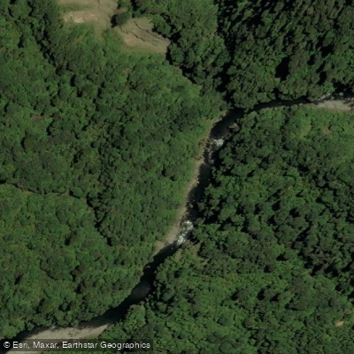
Ōtaki River
- Boat Ramps
- 0
- Access Points
- 0
- Campsites
- 1
The Ōtaki River is located in the Kāpiti Coast District on the North Island of New Zealand, draining the western slopes of the Tararua Ranges before flowing west approximately 66 kilometres to its mouth in the Tasman Sea. With a basin size of 348 km² and an average discharge of 30.61 m³/s, it is the largest catchment in the western Tararua Ranges and one of the highest-volume rivers flowing from the Tararua Forest Park.
The river offers two distinct paddling experiences depending on the section chosen. The lower section around Ōtaki Forks is rated Grade II and is considered regionally significant for its easy access and broad appeal. Paddlers typically put in on the Waiotauru River just before it joins the Ōtaki, near the Ōtaki Forks campsite. This section draws an estimated 2,000 kayaker visits annually, making it the most popular paddling destination in the Wellington region. Commercial guided rafting trips (Grade 2) are also available on this section, running approximately three hours. The run has two main sections that can be paddled together or separately, each taking roughly 45 minutes, with an additional top section possible at higher flows.
The upper section, from Waitewaewae Hut to Ōtaki Forks, is a more committing run rated Grade III/IV. This 20-kilometre stretch passes through a scenic gorge in the heart of the Tararuas and is typically done over two days — walking in to Waitewaewae Hut (4.5–6 hours) and paddling out the following day (6–8 hours). Flow management is critical on this section: optimal packrafting flows are around 15 cumecs for a confident Grade III+ paddler, while flows above approximately 20 cumecs push the difficulty to Grade IV. Below 12 cumecs, significant sections become too shallow to paddle. Log jams are a noted hazard throughout, and portaging is not always possible at river level, adding a degree of commitment to the upper gorge run.
For beginners on the lower section, the second rapid — known as "Corner Pocket," located after the confluence of the two rivers — warrants inspection or portage consideration. The Ōtaki Forks area also serves as a gateway to the Tararua Forest Park and hosts a campsite, making it a practical base for multi-day trips.
Water access, boat ramps & amenities
Learn how to get on Ōtaki River. Uncover great paddling access points, boat ramps, and all the facilities you need for an unforgettable day on the water. Some locations shown may border or include private property. Always check property boundaries and applicable regulations before visiting. PaddleWays's Public & Private Land layer can help you plan your access with confidence.
Paddle smarter with real-time insights
Whether you're en route and conditions shift or you're looking for the best spot based on current flows, we enable you to make informed decisions on the fly.







Wellington licenses and regulations
No licenses or regulations available for Wellington.
Find Places to Paddle

Over 400,000 Places to Paddle
Every user gets free access to launch points, boat ramps, and public property parcels.


Water and weather conditions (10 day forecast)
See the best times to paddle Ōtaki River and check the forecast before you go.
Otaki River at Pukehinau
All Flow Stations
Paddling near Ōtaki River
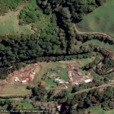
Waikanae River
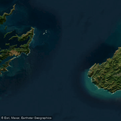
Te Moana-o-Raukawa / Cook Strait
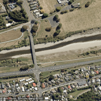
Te Awa Kairangi / Hutt River
Tauwharenīkau River
South Taranaki Bight
Waiohine River
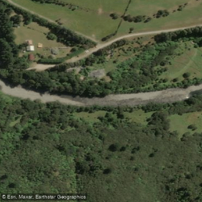
Waingawa River
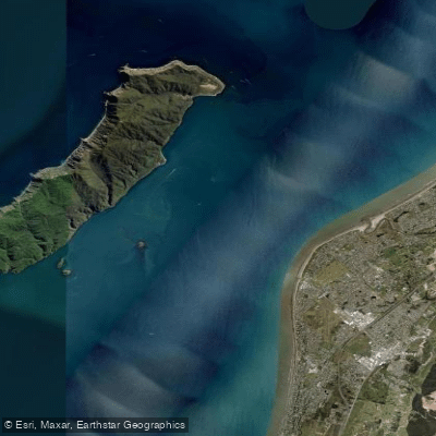
Rauoterangi Channel
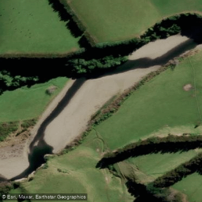
Mangahao River
Explore Wellington waters
Top paddling waters
No waters available right now.
Popular Cities
Loading popular cities...
Explore near Ōtaki River

Smarter Paddling Starts in the App.
Paddleways gives you everything you need to plan smarter, paddle better, and own every trip from first launch to takeout.