Coal Bay
- Saltwater
- Bay
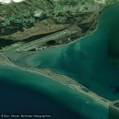
Coal Bay
- Saltwater
- Bay
- Sq. miles
- 1.8
- Boat Ramps
- 0
- Access Points
- 0
- Campsites
- 0
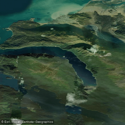
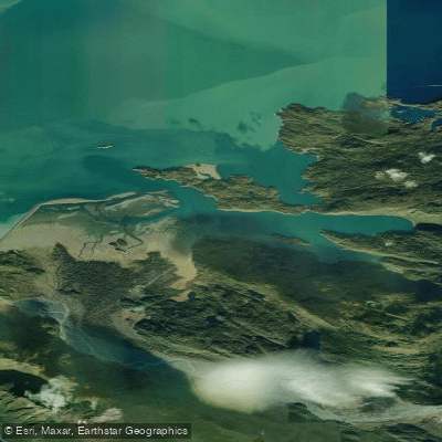
Coal Bay is a coastal bay located near Brentwood Bay on the Saanich Peninsula. The primary launch for paddlers is at the end of McTavish Road, where a wide trail leads approximately 100 meters to the beach. Parking is available for 7 or 8 vehicles at the road's end, but paddlers should observe posted No Parking signs; an alternative is a parking lot 300 meters back up the road. The beach itself can be fairly rocky at low tide. Another common put-in is the Brentwood Bay Ferry Wharf, from which paddlers head north along the coast to reach Coal Bay, a distance of approximately 8 nautical miles one way. This route involves paddling in protected coastal waters with potential boat traffic, particularly near the active ferry terminal.
Tides are a significant factor. The referenced tide station is Patricia Bay, and the current station is Sidney Channel, indicating that tidal currents influence the area. Paddlers should consult tide tables for Patricia Bay to time their launch and landing, as the beach is rocky at low tide and the ferry wharf launch can become muddy. Planning to paddle with the tidal current, especially on the longer route from Brentwood Bay, is advisable for efficiency. The area is used by organized paddling groups for relaxed trips, suggesting generally protected conditions, though wind exposure and fetch will vary with weather. The presence of a ferry wharf and the mention of Todd Inlet as a weather alternative imply that open water crossings and wind can be considerations. There are no indicated restrictions specific to paddling, but standard safety practices for cold water, including dressing for immersion, are recommended.
Water access, boat ramps & amenities
Learn how to get on Coal Bay. Uncover great paddling access points, boat ramps, and all the facilities you need for an unforgettable day on the water. Some locations shown may border or include private property. Always check property boundaries and applicable regulations before visiting. PaddleWays's Public & Private Land layer can help you plan your access with confidence.
Paddle smarter with real-time insights
Whether you're en route and conditions shift or you're looking for the best spot based on current flows, we enable you to make informed decisions on the fly.








Find Places to Paddle

Over 400,000 Places to Paddle
Every user gets free access to launch points, boat ramps, and public property parcels.


Tides, wind & water conditions (10 day forecast)
On open water, wind and tide matter as much as the weather. See the best times to paddle Coal Bay and check the marine forecast before you launch.
Loading tide predictions…
Paddling near Coal Bay
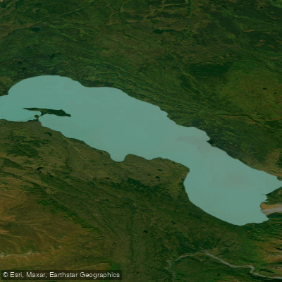
Explore Alaska waters
Top paddling waters
Popular Cities
Loading popular cities...
Explore near Coal Bay

Smarter Paddling Starts in the App.
Paddleways gives you everything you need to plan smarter, paddle better, and own every trip from first launch to takeout.