Napa River
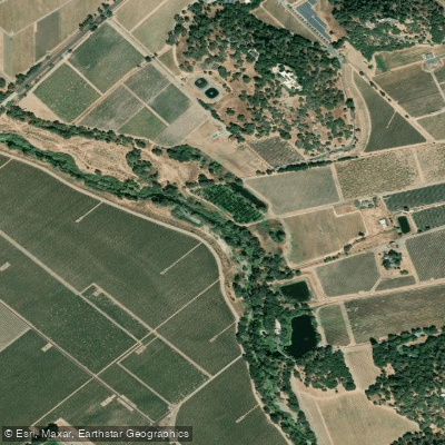
Napa River
- Boat Ramps
- 1
- Access Points
- 4
- Campsites
- 7
The Napa River is a 50-mile waterway that originates as a spring on the slopes of Mount St. Helena in northern California and flows south through Napa Valley before emptying into San Pablo Bay. This scenic river drains a 426 square mile watershed, serving as the lifeblood of the famous Napa Valley wine region. Paddling opportunities on the Napa River range from flatwater sections perfect for beginners to occasional whitewater in the upper reaches near St. Helena. The lower 17 miles from Trancas Street in Napa to Vallejo offer the most popular paddling, with a mix of urban and rural landscapes. Key sections include the Downtown Napa run, Kennedy Park to Cuttings Wharf, and explorations of the Carneros wine region and Napa-Sonoma Marshes.
The river's difficulty is primarily flatwater, suitable for novice paddlers, though tidal influences and winds can create challenging conditions. Paddlers should be aware of changing water levels and currents, especially in the tidal sections below Napa. Spring and fall offer the best paddling conditions, with warmer temperatures and abundant wildlife. Summer can be enjoyable but may have lower water levels. Winter paddling is possible but requires caution due to potential high water and storm runoff.
The Napa River supports a diverse ecosystem, home to numerous bird species, river otters, and even harbor seals in the lower reaches. Paddlers can observe a variety of waterfowl, wading birds, and raptors along the shoreline. Key landmarks include downtown Napa's revitalized riverfront, the Oxbow District, Kennedy Park, and the scenic Carneros wine region. The river offers unique perspectives of Atlas Peak, Mount Veeder, and the surrounding valley.
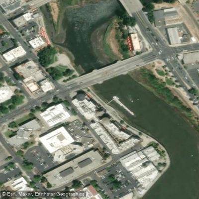
Primary access points include Kennedy Park, Trancas Crossing Park, and Cuttings Wharf in Napa, as well as launch sites in downtown Napa like the Jim Hench Memorial Kayak Launch. These provide easy access for day trips exploring different sections of the river.
Historically, the Napa River has been crucial to the development of the wine industry and the region's agriculture. Today, it continues to play a vital role in the valley's ecology and serves as a recreational asset for locals and visitors alike.
Safety considerations include checking tide charts and wind forecasts, as conditions can change rapidly. Paddlers should be aware of boat traffic, especially in the lower sections. Some areas may have limited cell phone coverage, so proper planning is essential. While primarily suited for day trips, multi-day adventures are possible by combining river paddling with visits to wineries and accommodations along the route, offering a unique way to experience the Napa Valley.
Water access, boat ramps & amenities
Learn how to get on Napa River. Uncover great paddling access points, boat ramps, and all the facilities you need for an unforgettable day on the water. Some locations shown may border or include private property. Always check property boundaries and applicable regulations before visiting. PaddleWays's Public & Private Land layer can help you plan your access with confidence.
Paddle smarter with real-time insights
Whether you're en route and conditions shift or you're looking for the best spot based on current flows, we enable you to make informed decisions on the fly.








Find Places to Paddle

Over 400,000 Places to Paddle
Every user gets free access to launch points, boat ramps, and public property parcels.


Water and weather conditions (10 day forecast)
See the best times to paddle Napa River and check the forecast before you go.
NAPA R NR NAPA CA
All Flow Stations
Paddling near Napa River

San Joaquin River

Sacramento River

San Pablo Bay
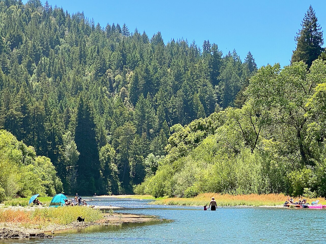
Russian River

Mokelumne River

San Francisco Bay
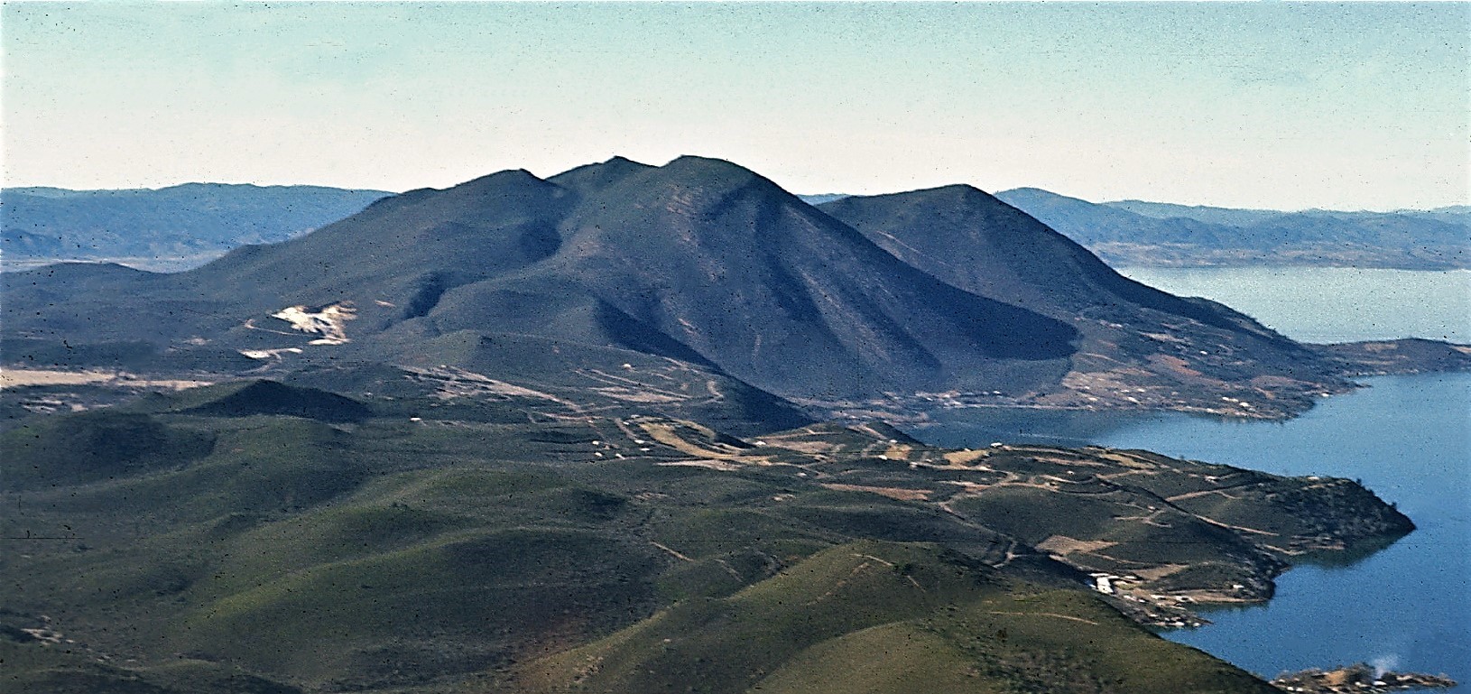
Clear Lake

American River
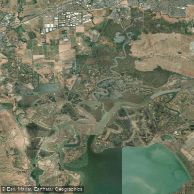
Suisun Slough
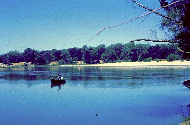
Feather River
Explore California waters
Top paddling waters
Popular Cities
Loading popular cities...
Explore near Napa River
Access points
Nearby waters
More in California

Smarter Paddling Starts in the App.
Paddleways gives you everything you need to plan smarter, paddle better, and own every trip from first launch to takeout.